
Map · 15 places · Chapel Hill, NC
Chapel Hill Urban Planning Map
This map provides a detailed overview of urban planning initiatives, development projects, and zoning regulations in Chapel Hill, North Carolina. It highlights key areas of growth, infrastructure improvements, and community resources to promote better understanding of the town's layout and future plans.
Made with ProxiUpdated Nov 2025
- Commercial Zones 3
- Community Resources 3
- Residential Areas 3
- Cultural Institutions 2
- Public Transportation 2
- Parks and Recreation 1
- Zoning Areas 1
Places on This Map
15 places · 7 groupsNearby Maps
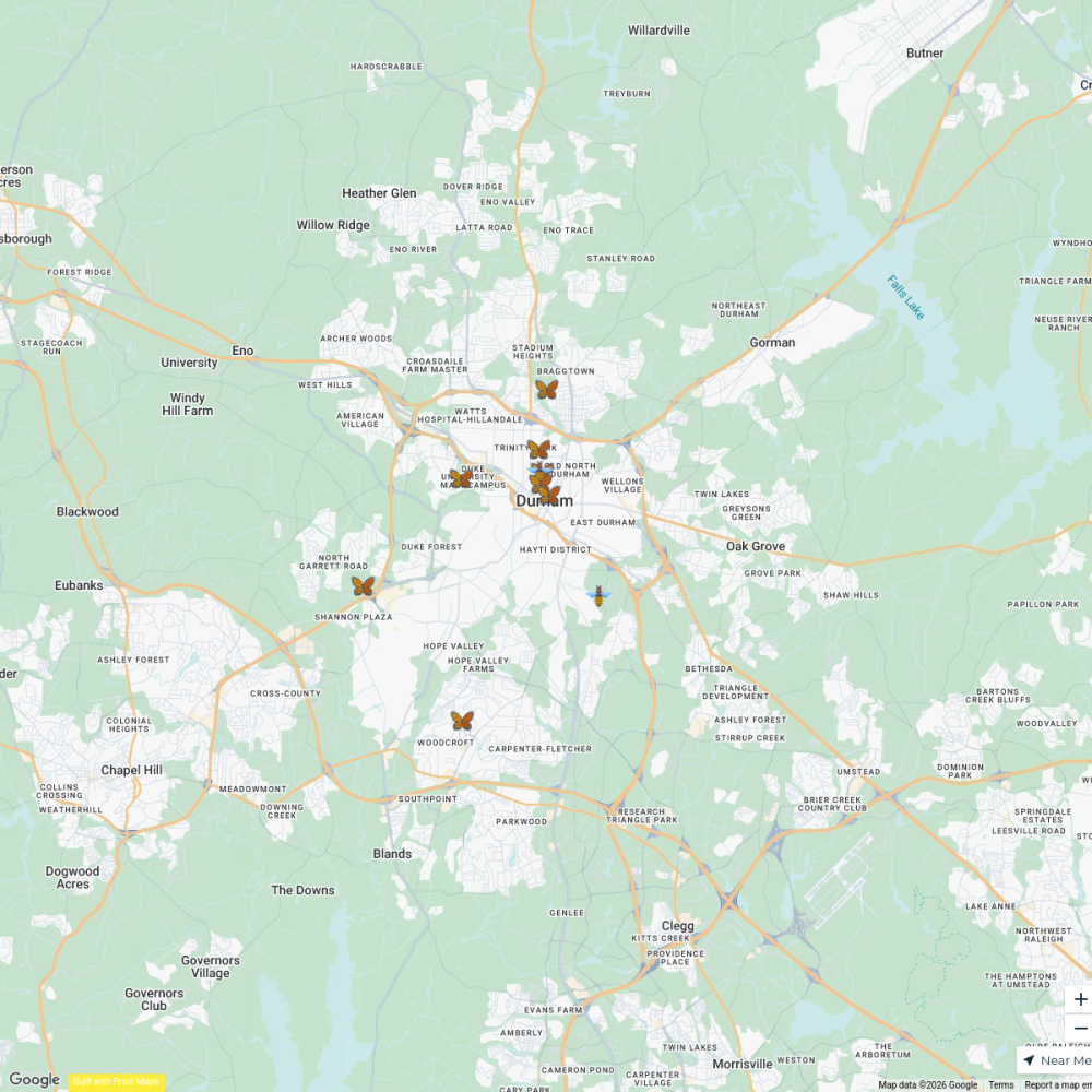
Pollinator Gardens in Durham
10 stops Seana Finn's Workspace
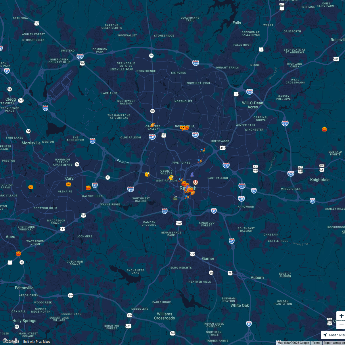
Raleigh Halloween Events 2024
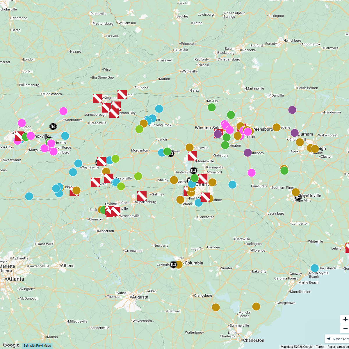
40 stopsRAL Today's WorkspaceTimber Frame Companies in North Carolina
150 stops gwalker's Workspace
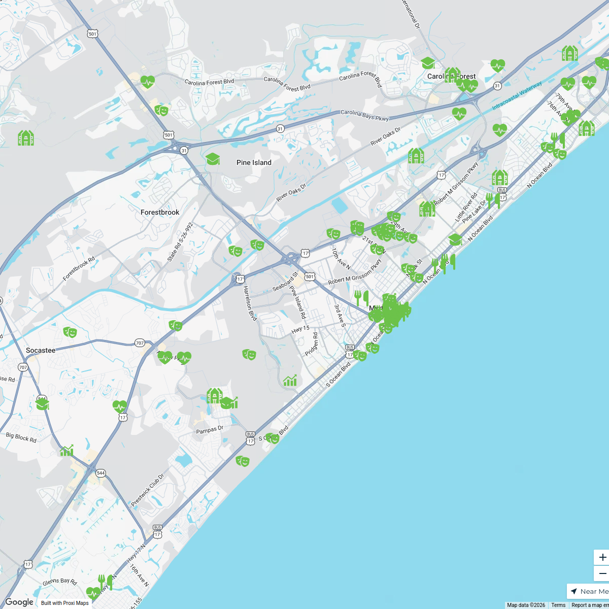
Myrtle Beach, SC - Livability.com
154 stops Livability
Map of Library Joy
87 stops Richland Library Workspace
Black Natural Materials Economy
60 stops Adire Farms & Colorworks's Workspace
This map was made with Proxi
Have a main street, a market, or a story worth walking? Make your own map in a few minutes.