
Map · 17 places
Kadoma Urban Study Area Map
A detailed study area map of Kadoma Urban, Zimbabwe, showcasing key features including administrative boundaries, roads, schools, and water bodies to aid in urban planning and development assessments.
Made with ProxiUpdated Nov 2025
- Urban Planning 6
- Educational Institutions 4
- Transportation 3
- Administrative Boundaries 2
- Water Bodies 2
Places on This Map
17 places · 5 groupsNearby Maps
Heritage Resorts Mauritius Map
16 stops · Bel Ombre, Mauritius Sammy Kelly's Workspace
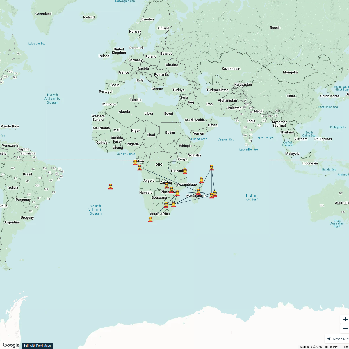
Overseas Chinese Networks in Africa
15 stops · Africa Qifan Zhang's Workspace

Beer Passport Map
357 stops Lekker Passport
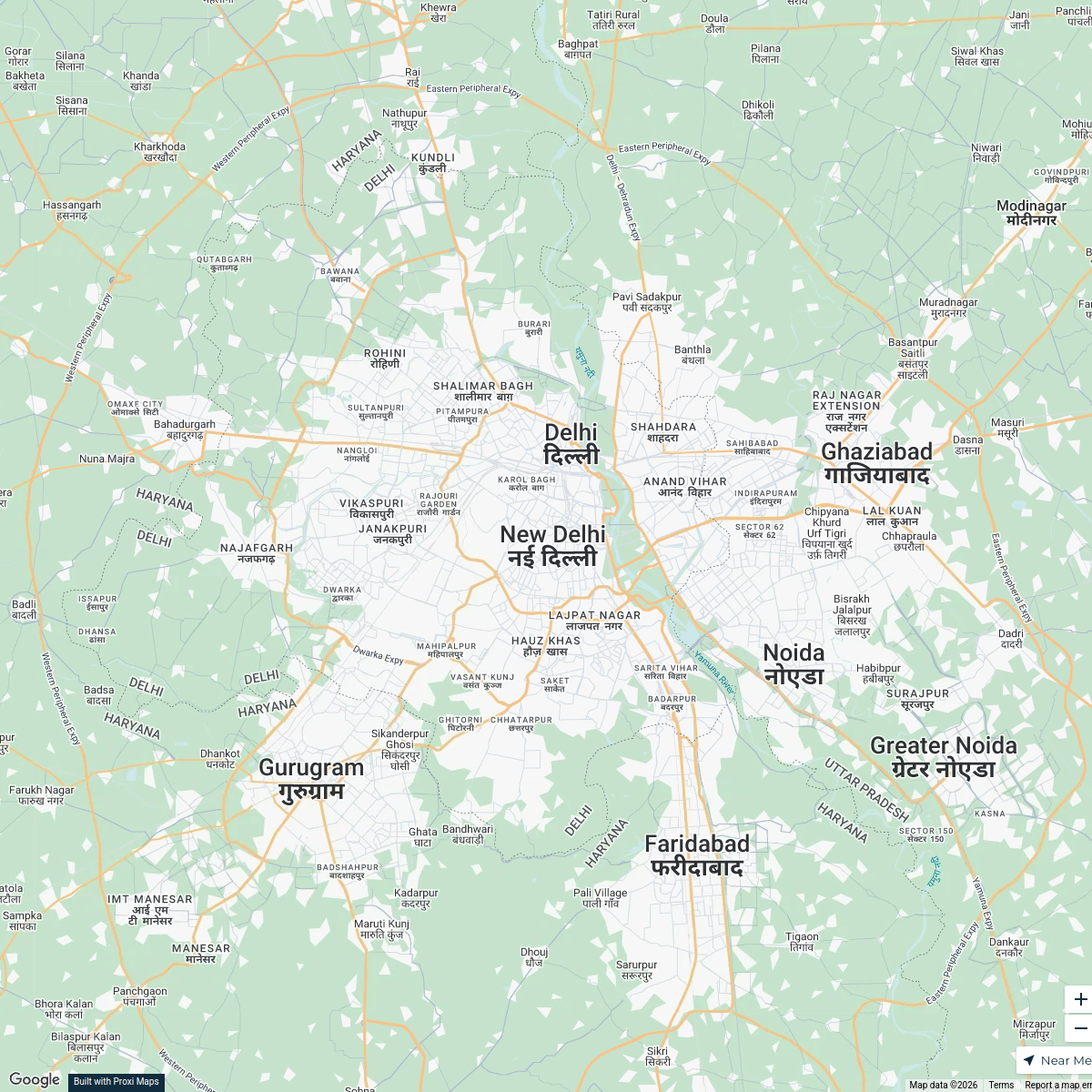
Indian Cultural Centers Worldwide
25 stops · New Delhi, Delhi, Indiaku.rajeev's WorkspaceBest holiday destination?
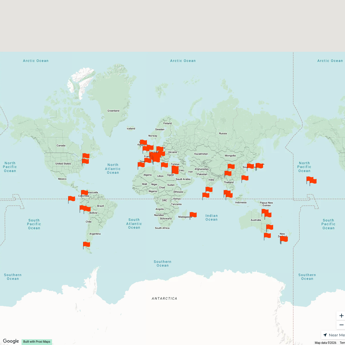
52 stops o.bloomer's Workspace
Our Participants
116 stopsFuture Scholar Foundation's Workspace
This map was made with Proxi
Have a main street, a market, or a story worth walking? Make your own map in a few minutes.