
Map · 9 places · Jeffersonville, IN
Jeffersonville Watersheds and Creeks Map
A detailed map highlighting the watersheds and creeks of Jeffersonville, Indiana. This map provides insights into the region's waterways, including their interconnections and significance to the local ecology and community.
Made with ProxiUpdated Nov 2025
- Recreation Areas 4
- Creeks 2
- Flood Zones 1
- Urban Water Management 1
- Water Quality 1
Places on This Map
9 places · 5 groupsNearby Maps
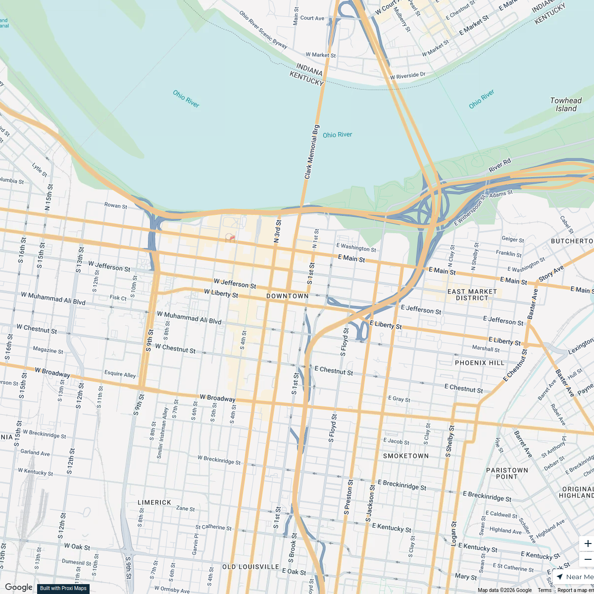
Downtown Louisville Exploration
1 stop kevin's Workspace
Louisville KY
11 stops · Louisville, KY, USA The Driveby Tourist's Workspace
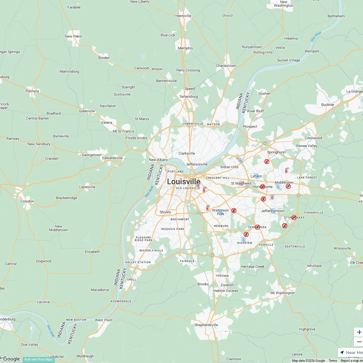
Louisville Pest Control Services
21 stops · Louisville, KY, USAbethalmoore's WorkspaceAAAC Wildlife Removal
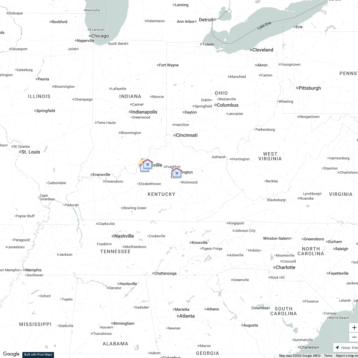
24 stopsAAAC Wildlife Removal of Louisville's WorkspaceKentucky Grocery Store Locator
11 stops · Kentucky, USA Mary Beth Tureau's Workspace
Indiana Farmers Markets
206 stops · Indianapolis, IN, USA Farm Flavor


This map was made with Proxi
Have a main street, a market, or a story worth walking? Make your own map in a few minutes.