
Map · 21 places
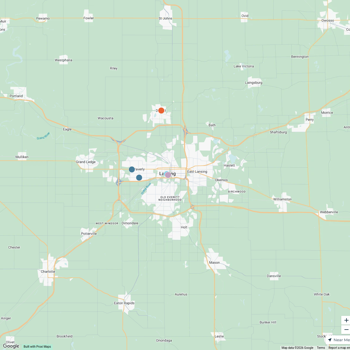
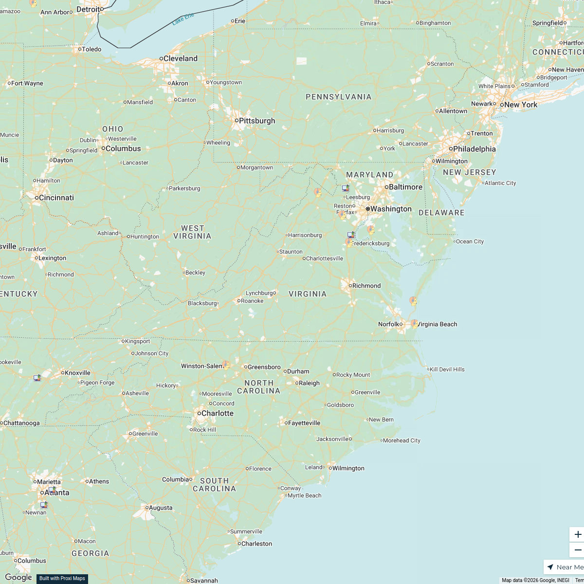
Dimondale and Lansing Area Map
A detailed map focusing on Key Locations in Dimondale and Lansing, MI, including Harris Dr in Dimondale and Ottawa St in Lansing. Perfect for navigation and local exploration.
Made with ProxiUpdated Nov 2025
- Historical Sites 11
- Restaurants 3
- Shopping Centers 3
- Parks and Recreation 2
- Business Districts 1
- Transport Hubs 1
Places on This Map
21 places · 6 groupsNearby Maps
Lansing Sweet Treats Map
12 stops Alexis T's Workspace
Beer Finder
236 stops · 506 Oakland Avenue Southwest, Grand Rapids, MI, USAchristopher@brewerynyx.com · @christopher@brewerynyx.comOH BU Inspections Map
124 stops adenallo's Workspace
Ballparks Not Visited
43 stops lkoftan's Workspace
Test
1000 stops · Test Proxi
Veterans ERG Map
28 stops · Virginia, USAjessica.currin's Workspace

This map was made with Proxi
Have a main street, a market, or a story worth walking? Make your own map in a few minutes.