
Map · 8 places
Uruguay Hazard Map
A map highlighting areas at risk for flooding and earthquakes in Uruguay. This map focuses on the southeastern region where seismic activity is more prevalent, while also showcasing flood-prone zones due to the geography surrounding the Río de la Plata and Río Uruguay.
Made with ProxiUpdated Nov 2025
- Emergency Services 4
- River Basins 4
Places on This Map
8 places · 2 groupsNearby Maps
Try Proxi For Yourself!
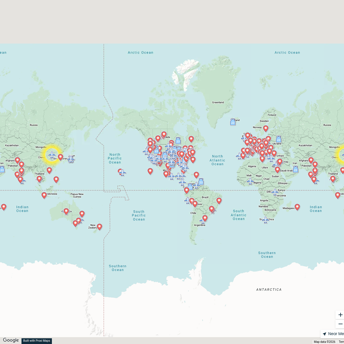
294 stops Chelsey's Proxi Workspace
Member Directory Map
465 stops rlane's Workspace
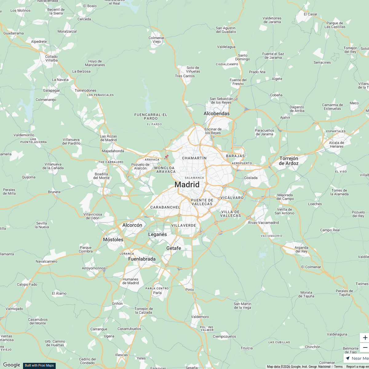
International Relations in Madrid
25 stops · Madrid, España Juan David Ante Garcia's Workspace
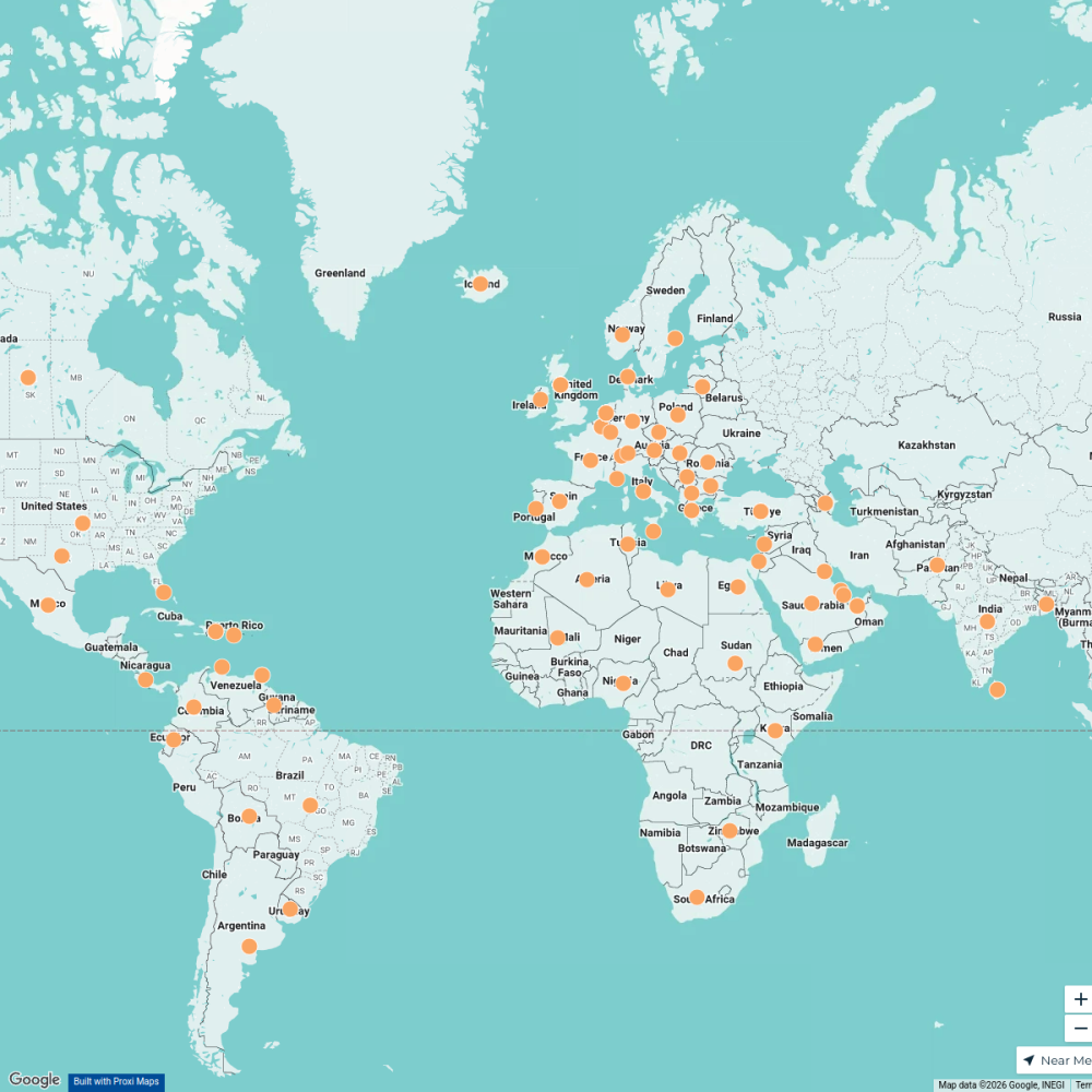
Pin Your Heart
425 stops · Europe Voluson Performance
Community Map
Discover Agua Zarca
6 stops · UruguayShared by the Proxi communityCommunity Map
Rio de la Plata Exploration
15 stops · UruguayShared by the Proxi community

This map was made with Proxi
Have a main street, a market, or a story worth walking? Make your own map in a few minutes.