
Map · 15 places
Political Map of India-Pakistan Border
A high-resolution political map illustrating the border between Pakistan and India, including the Line of Control in Kashmir. Major cities on both sides are labelled, and the map features topographic shading for enhanced geographical context.
Made with ProxiUpdated Nov 2025
- Political Geography 9
- Kashmir Region 3
- Major Cities 3
Places on This Map
15 places · 3 groupsNearby Maps
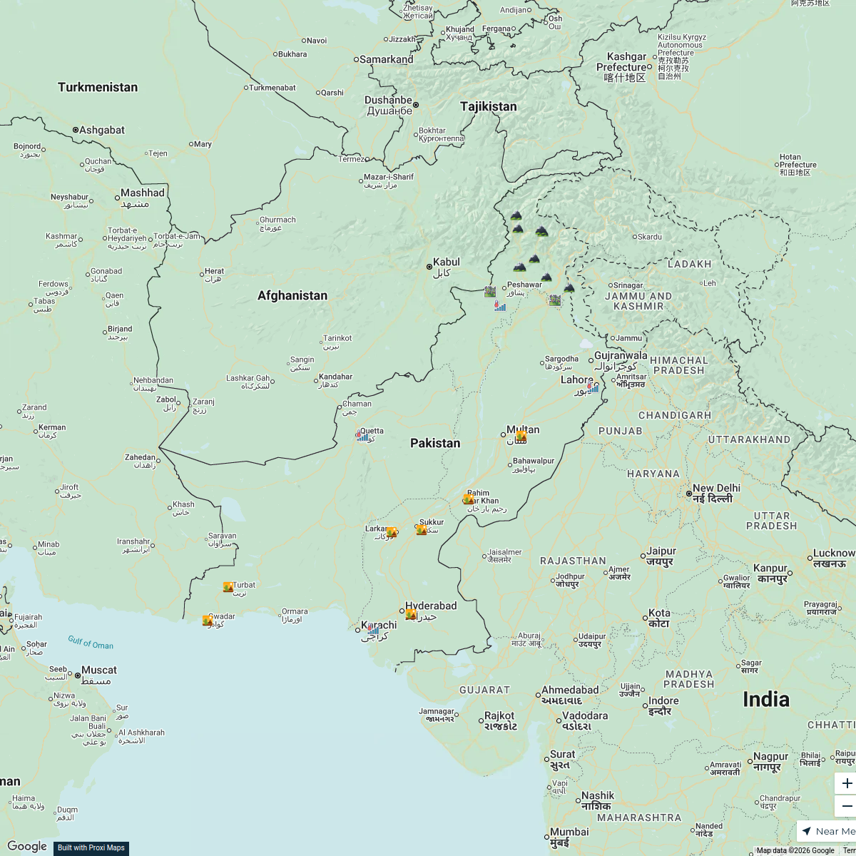
Geographical Map of Pakistan
27 stops · Islamabad, Pakistan khan85085's Workspace
Climates of Pakistan
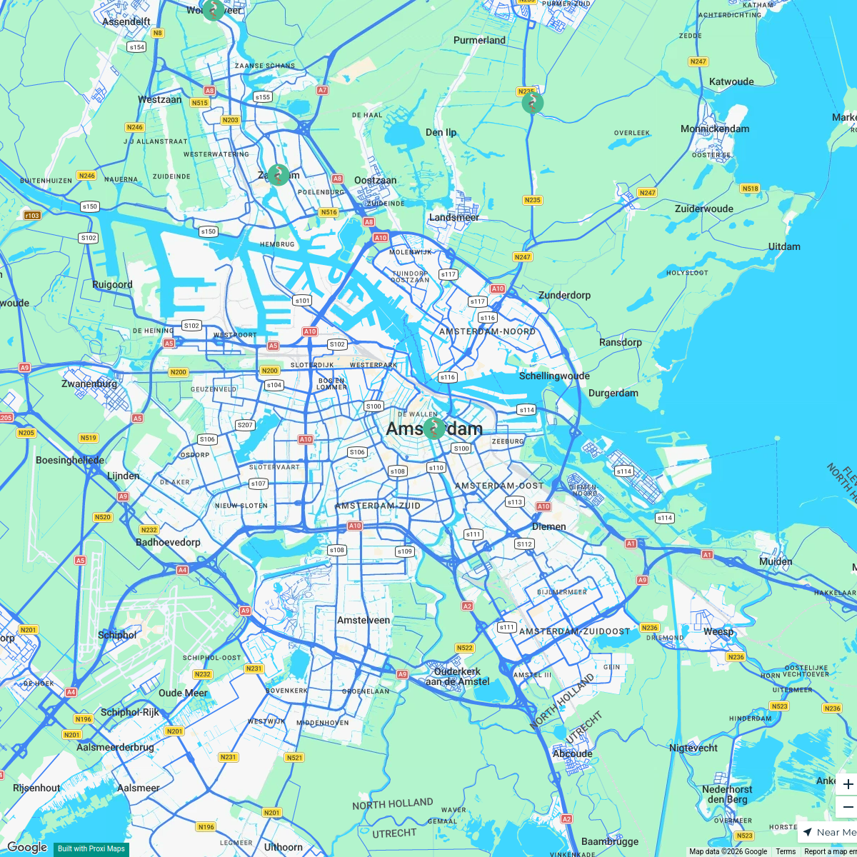
25 stops · Pakistanbabarayoob9's WorkspaceMSD Haarlem worldmap
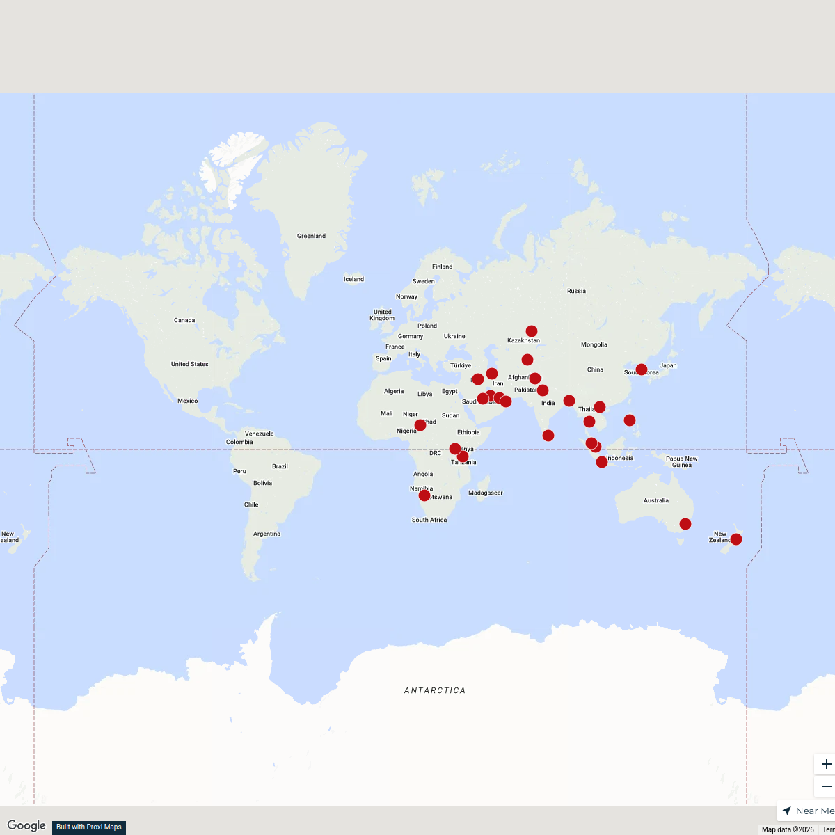
108 stops · Amsterdam, Netherlandswilmar.tigchelaar's WorkspaceNational Focal Points
25 stopsu.schwela's WorkspaceCommunity Map
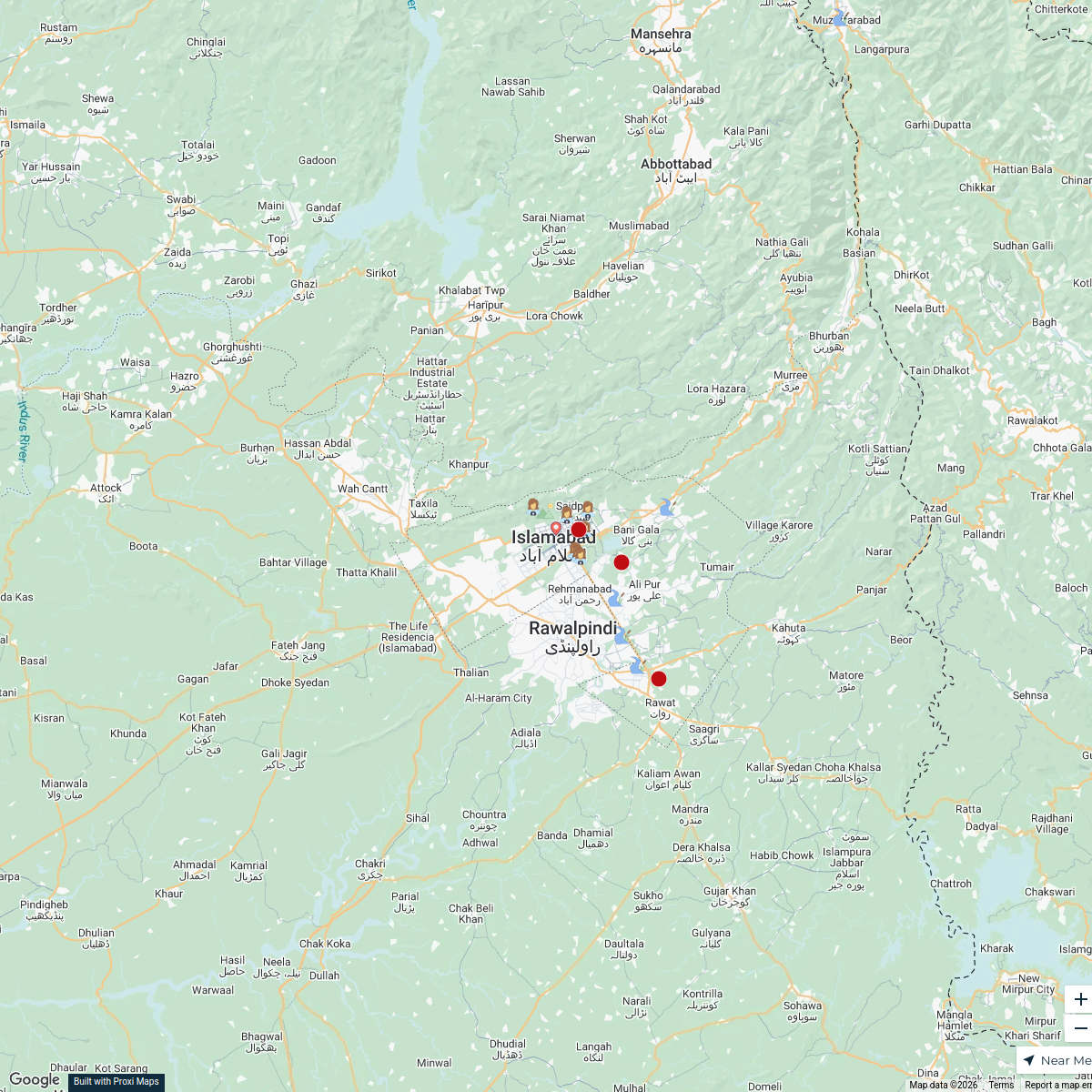
Clubs in Islamabad
15 stops · Islamabad, PakistanShared by the Proxi communityCommunity Map
Hospitals in Islamabad
15 stops · Islamabad, PakistanShared by the Proxi community
This map was made with Proxi
Have a main street, a market, or a story worth walking? Make your own map in a few minutes.