
Map · 20 places
Sutton Coldfield Exploration Map
A detailed map showcasing the Royal Town of Sutton Coldfield, highlighting its historical landmarks, parks, shopping areas, and community centers.
Made with ProxiUpdated Oct 2025
- Windfarm 9
- Wind / renewable development 3
- Solar farm 2
- Climate Project 1
- Flood defence 1
- Historical Landmarks 1
- Holiday Lodges / Coastal projects 1
- Housing / masterplan 1
- Wind / energy park 1
Places on This Map
20 places · 9 groupsNearby Maps
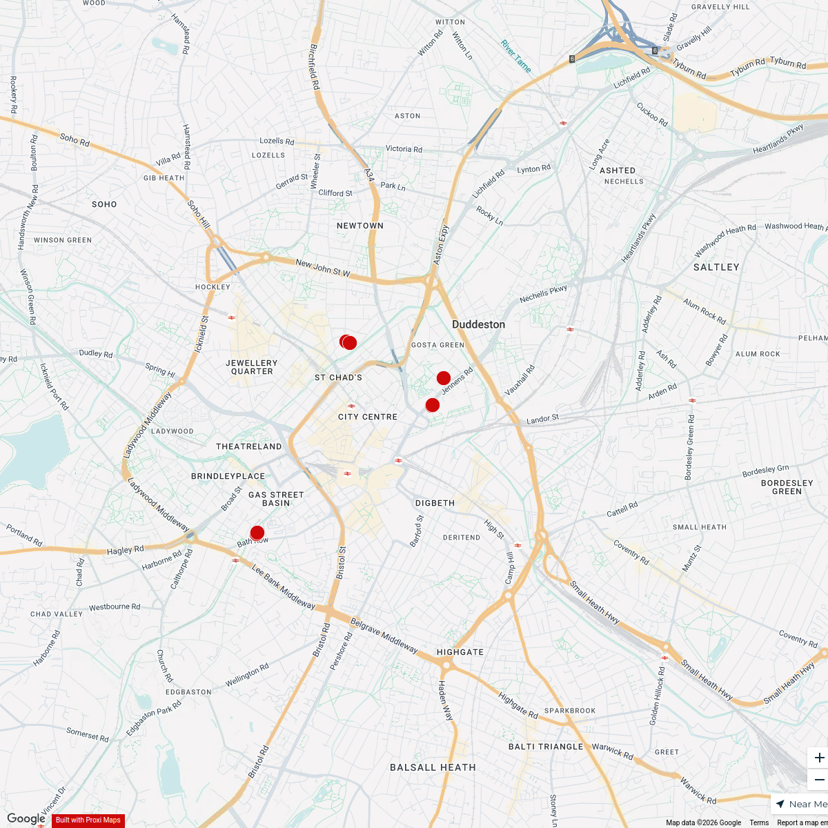
Birmingham Nechells Ward Boundary Map
15 stops · Birmingham, UK steve11oct2's Workspace
First Love BCU Fellowships
7 stops · Birmingham, UK Nathan Tenkorang's Workspace
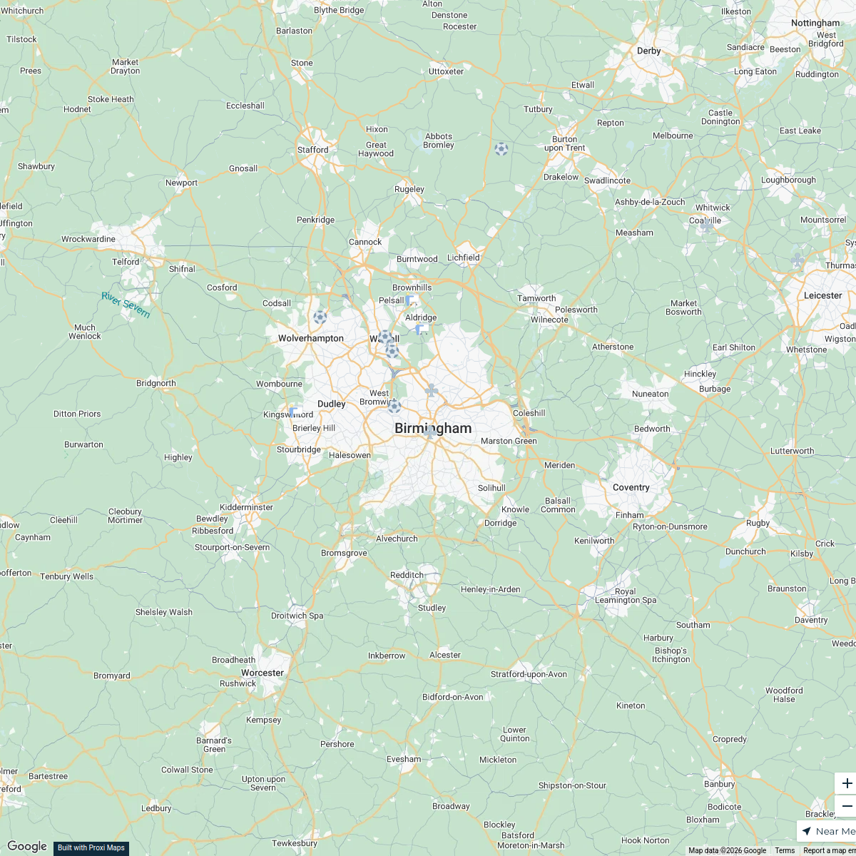
Birmingham Futsal Venues
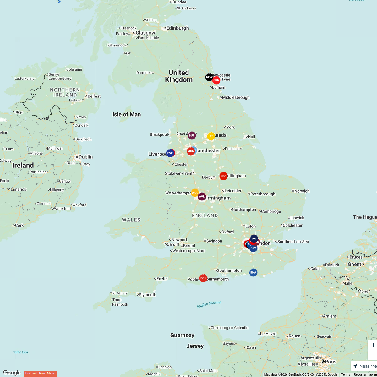
15 stops · Birmingham, UKbenbond306's WorkspacePremier League Clubs Map
20 stopsjake's WorkspaceMap of Premier League Teams
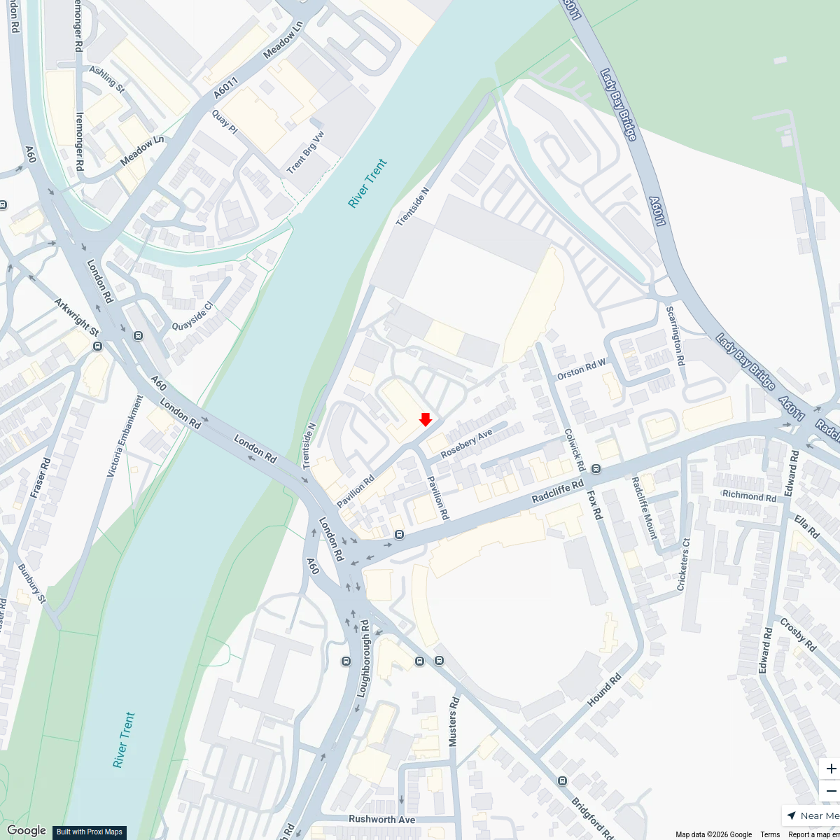
20 stops · England, UKAndrew Swinney's WorkspaceMusic Venues Near Nottingham Forest
7 stops · Nottingham Forest Football Club Ticket Office, Pavilion Road, West Bridgford, Nomowen's Workspace


This map was made with Proxi
Have a main street, a market, or a story worth walking? Make your own map in a few minutes.