
Map · 10 places
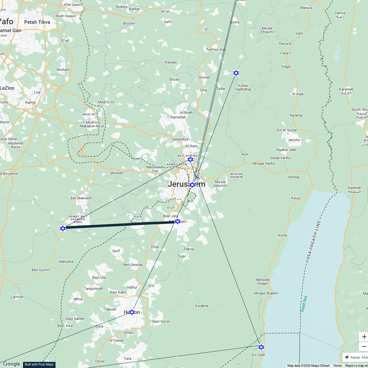
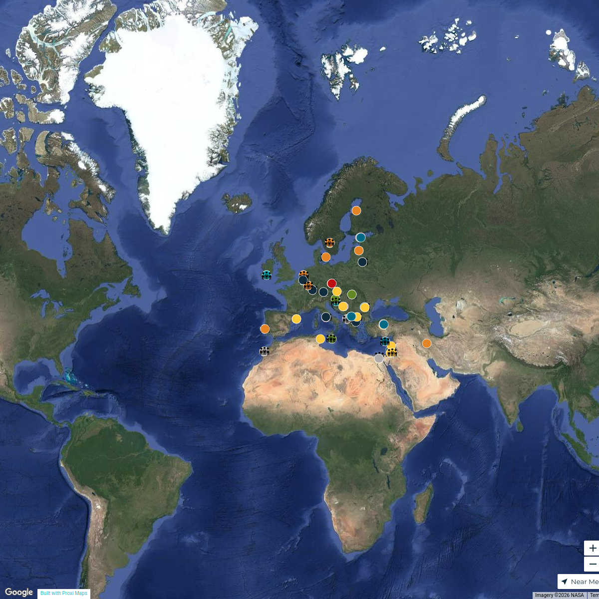
Historical Map of Judea in the 1st Century AD
A detailed map showing key locations significant to the life of Jesus, including cities, bodies of water, and administrative centers in the Roman province of Judea.
Made with ProxiUpdated Oct 2025
- City 7
- Water Body 2
- Administrative Center 1
Places on This Map
10 places · 3 groupsNearby Maps
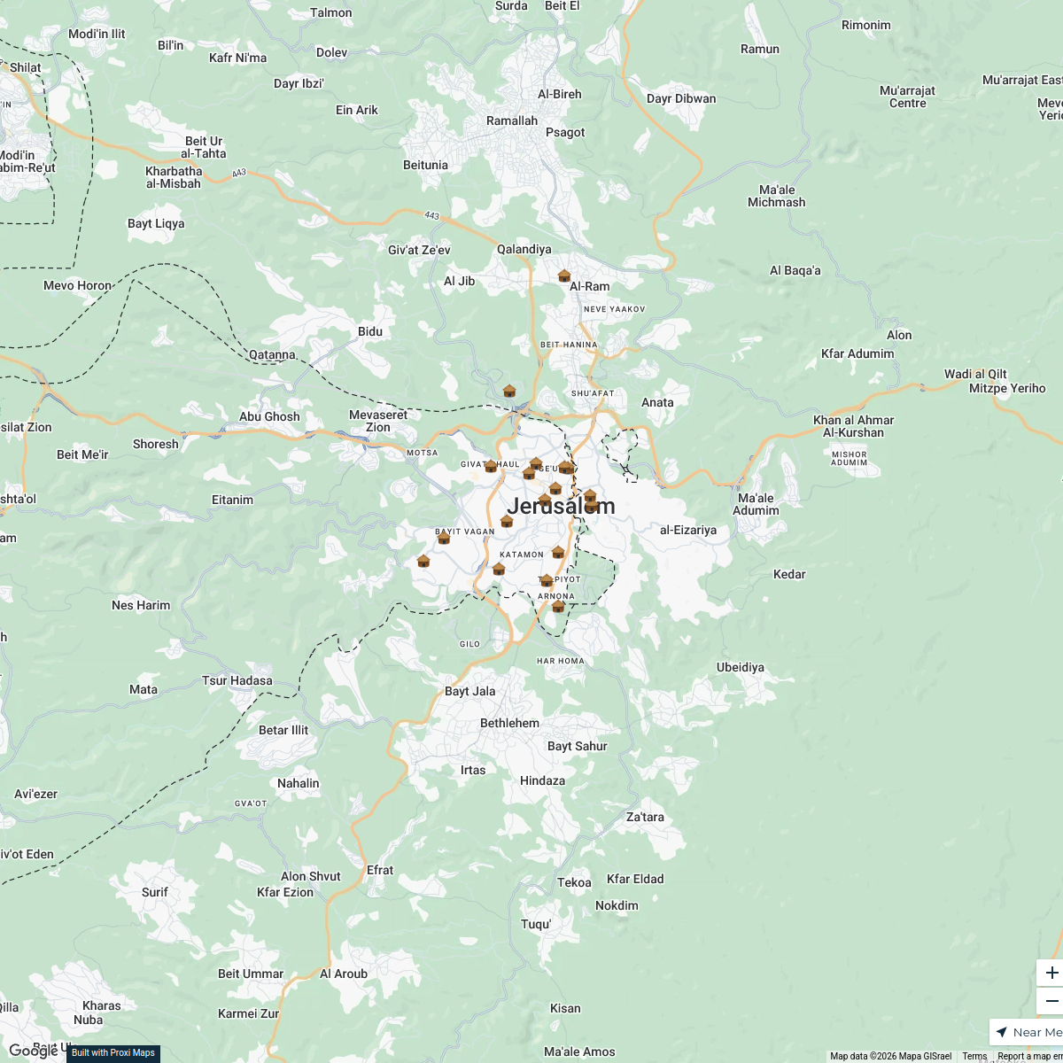
Jerusalem Heritage Sites
18 stops · Jerusalén, Israel heheh
Jerusalem Shelter Map
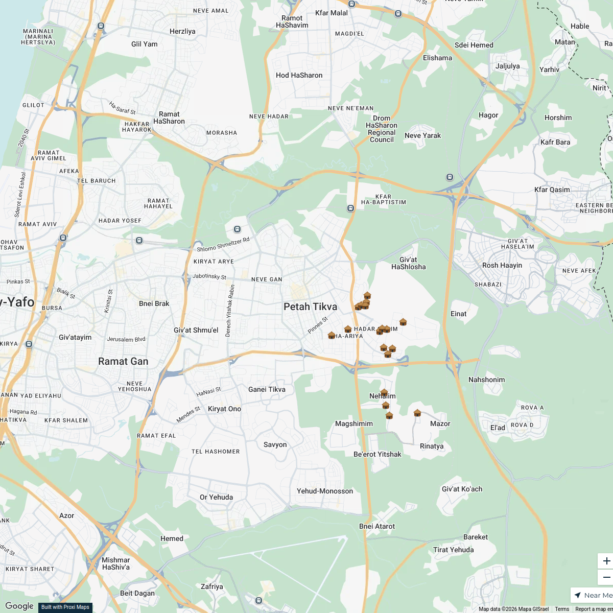
18 stops · Jerusalem, Jerusalén, IsraelEmunite Memosalu's WorkspacePetaj Tikva Shelter Map
18 stops · פתח תקווה, Petaj Tikva, IsraelEmu192's WorkspaceBodø/Glimt in Europe
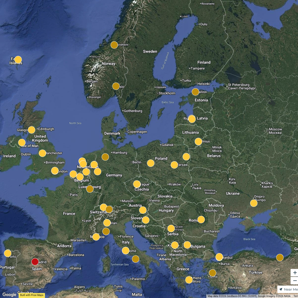
104 stops Håvard Berg 's Workspace
Pin Your Heart
425 stops · Europe Voluson Performance
ALF Networks Thematic Priorities
115 stopsmohammed.hafez's Workspace

This map was made with Proxi
Have a main street, a market, or a story worth walking? Make your own map in a few minutes.