
Map · 12 places
Community Map of Shyamnagar and Surrounding Areas
A detailed community map highlighting key landmarks in Shyamnagar and Bhatpara Municipality, North 24 Parganas, West Bengal.
Made with ProxiUpdated Oct 2025
- Hospital/Nursing Home 4
- Public Facility 4
- School 3
- Police Station 1
Places on This Map
12 places · 4 groupsNearby Maps
West Bengal Tour
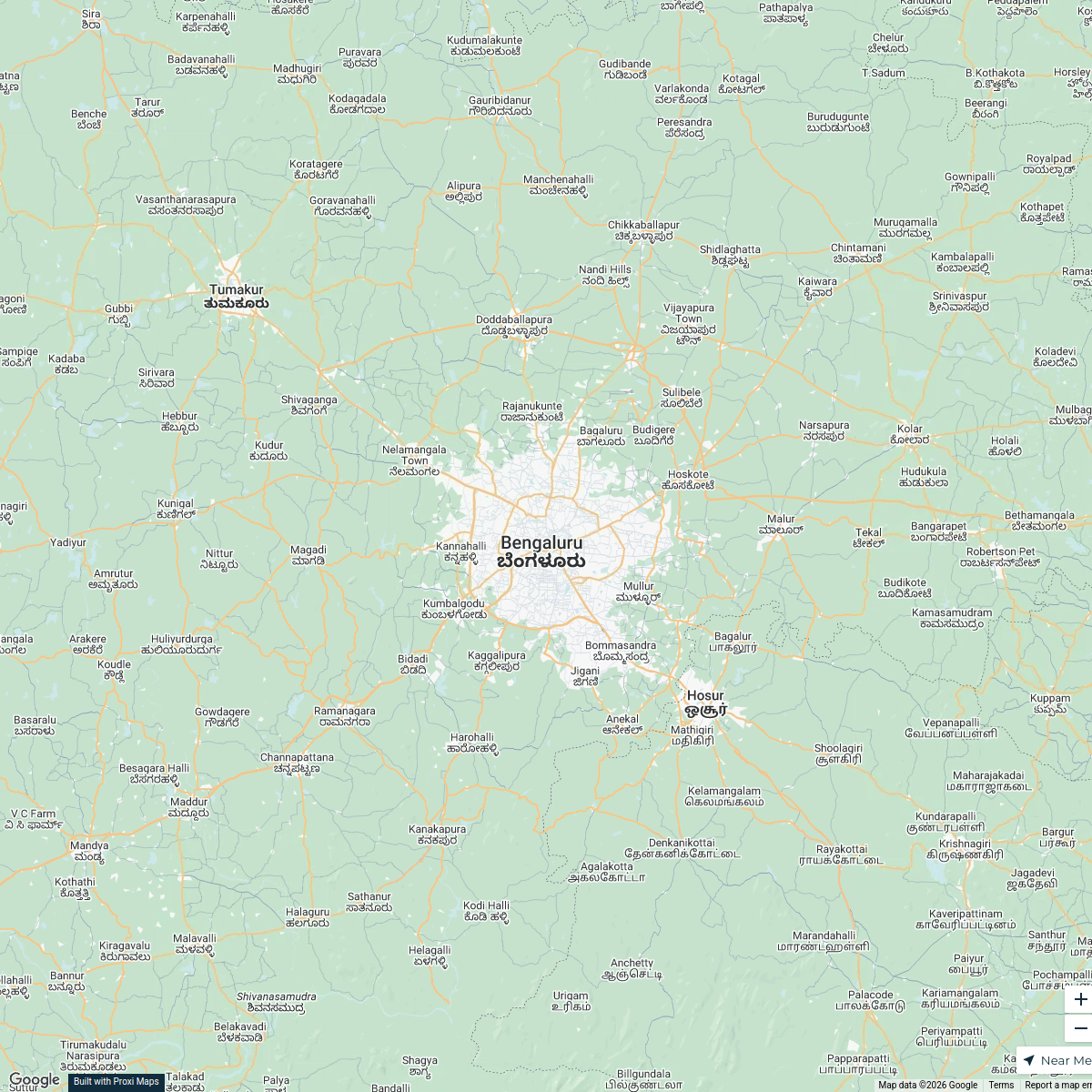
3 stops · Bengaluru, Karnataka, India maniarjunan8's Workspace
Exploring Seville: A Journey Inspired by Magellan
14 stops Sasha Bonilla's Workspace
Community Map
Revolt of 1857: Barrackpore
18 stops · Barrackpore, West Bengal, IndiaShared by the Proxi community Community Map
First date idea near Hooghly
7 stops · Chinsurah, West Bengal, IndiaShared by the Proxi communityCommunity Map
Barasat and Nearby Places
4 stops · Barasat, Kolkata, West Bengal, IndiaShared by the Proxi community Community Map
I💚green in Kolkata,sodepur ghola,khudiram nagar
10 stops · Ghola, Agarpara, Kolkata, West Bengal 700111, IndiaShared by the Proxi community
This map was made with Proxi
Have a main street, a market, or a story worth walking? Make your own map in a few minutes.