
Map · 16 places
Philippine Seismic and Volcanic Activity Map
A comprehensive map illustrating seismic events, volcanic activity, and meteorological phenomena in the Philippines from September 30 to October 22, 2025. It showcases significant earthquakes, volcanic alerts, and tropical cyclone paths while highlighting the interactions between tectonic and atmospheric forces.
Made with ProxiUpdated Oct 2025
- Monitoring Stations 7
- Geological Features 5
- Emergency Management Zones 3
- Volcanic Activity 1
Places on This Map
16 places · 4 groupsNearby Maps
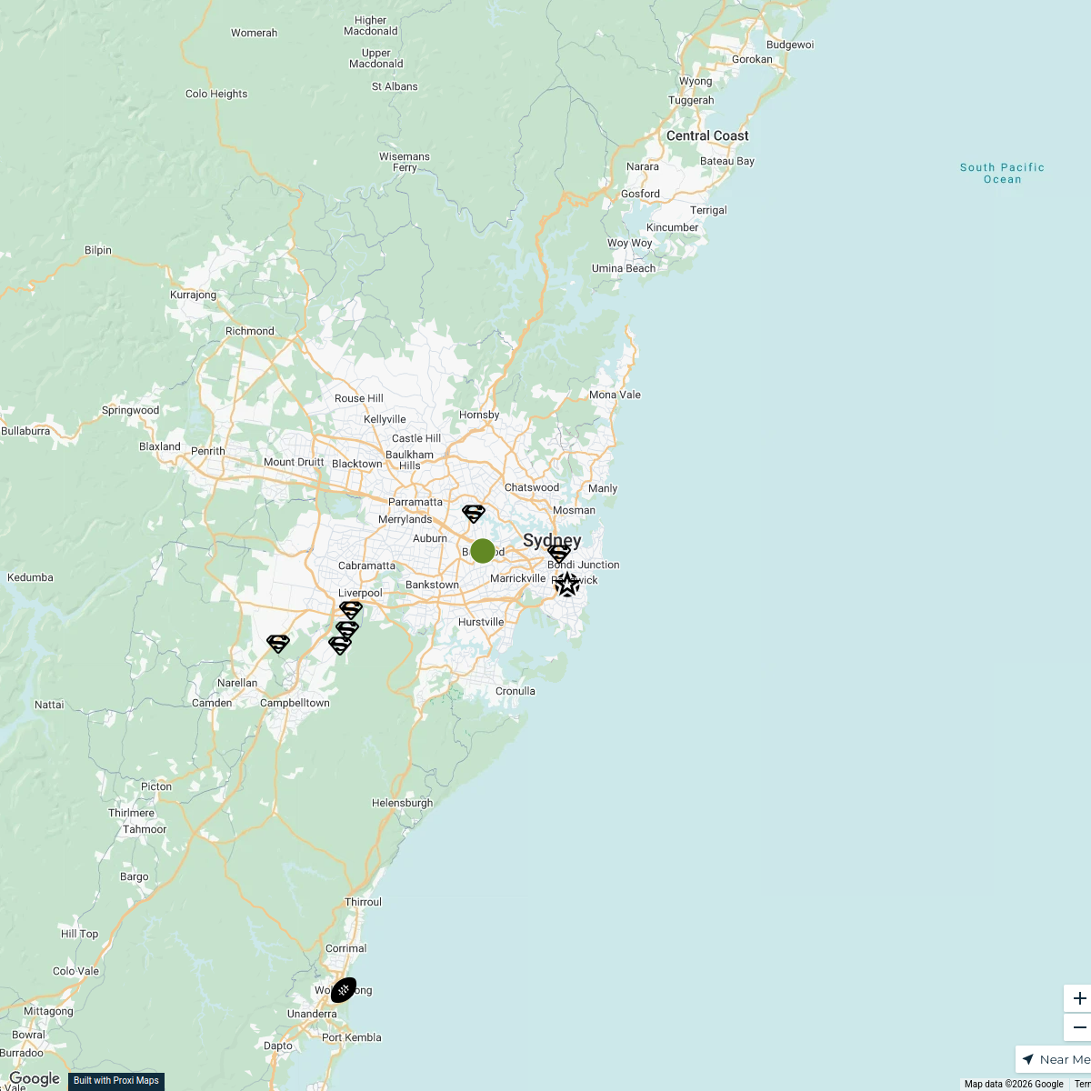
Sydney Explorer
127 stops · Sydney NSW, Australia bhidetejas03's Workspace
WORLD MAP EXPLORATION
55 stops · Melbourne VIC, Australiaitem0001's WorkspaceTourist Attractions in France
328 stops anders.winroth's Workspace
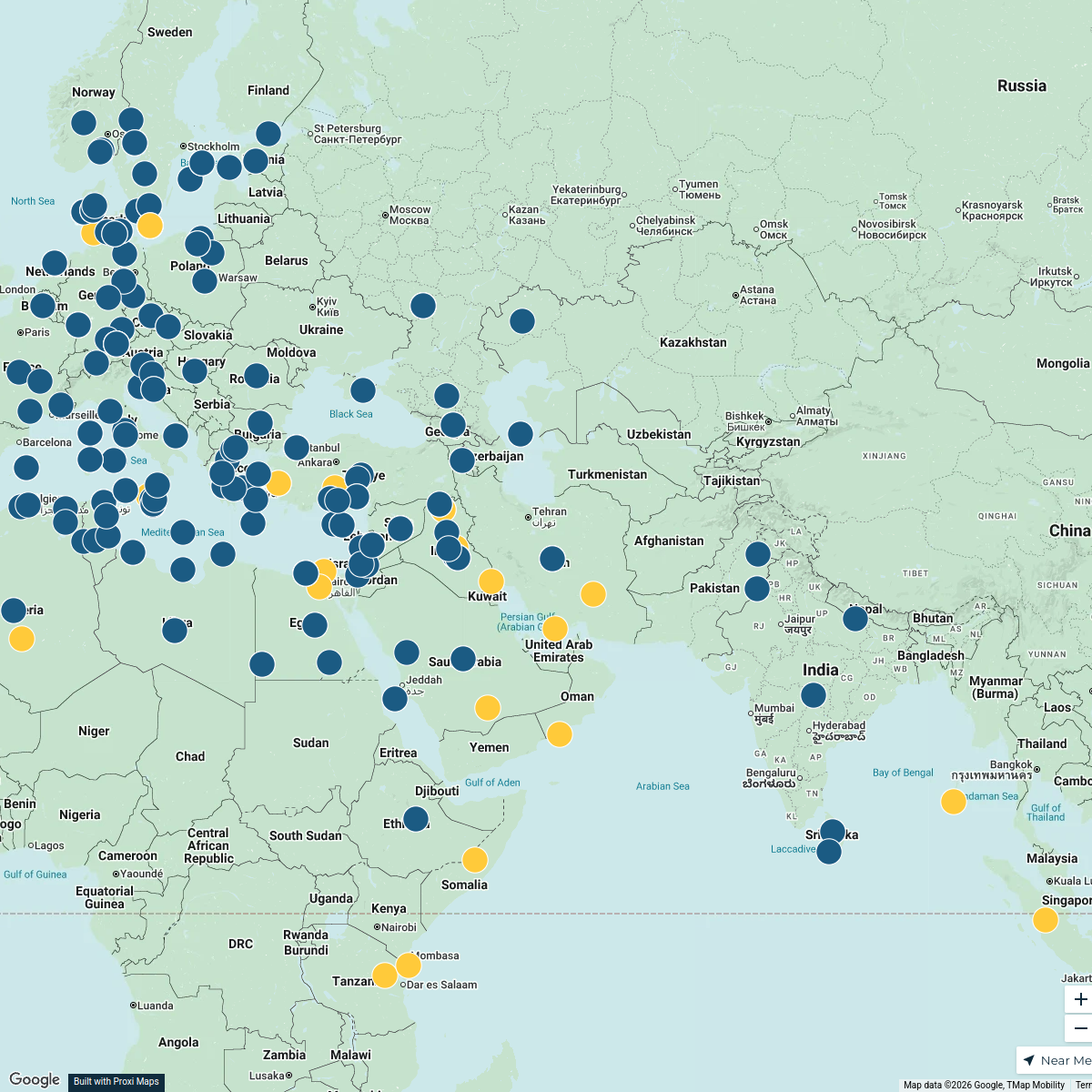
SB Server Map
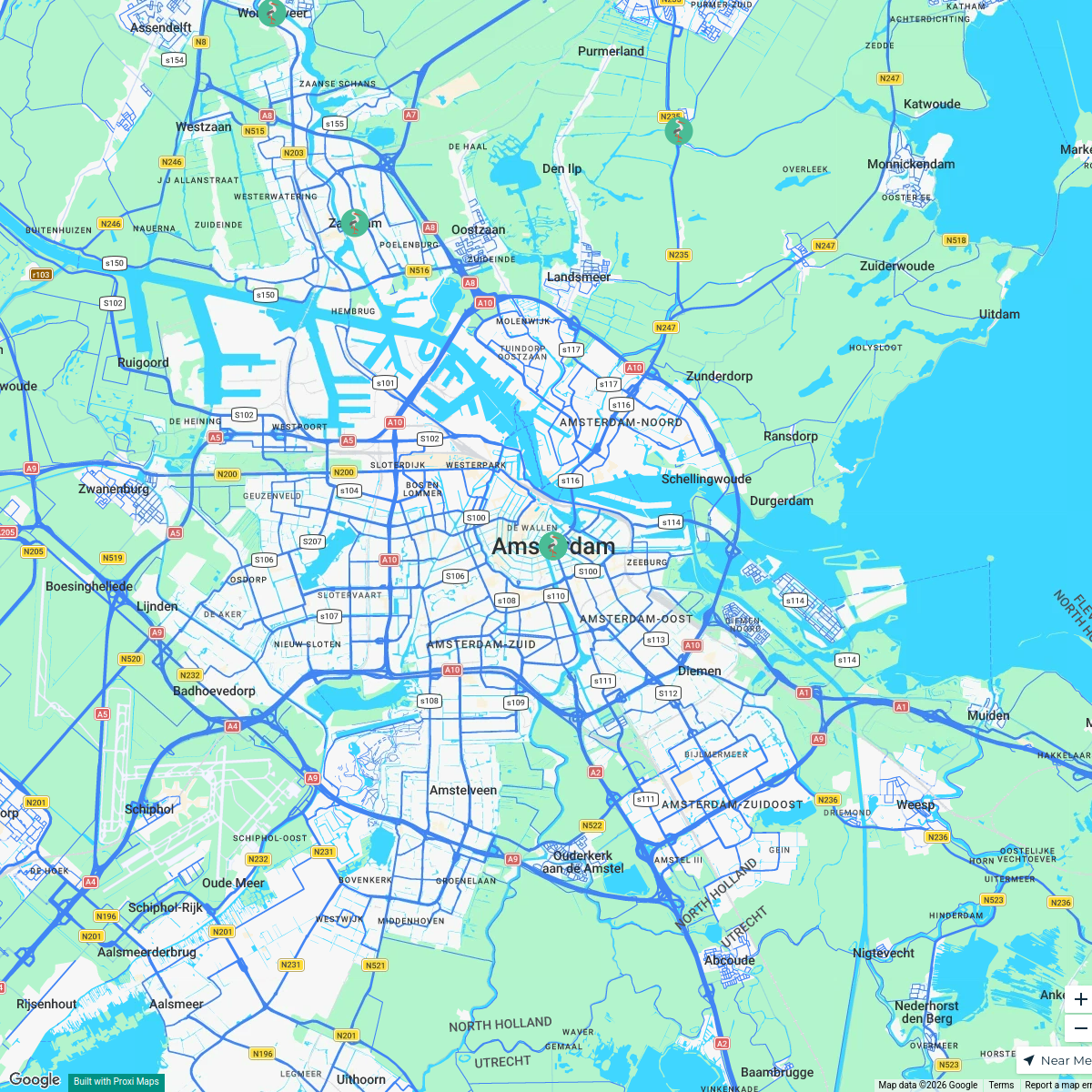
22 stops · Europeterminastation's WorkspaceMSD Haarlem worldmap
108 stops · Amsterdam, Netherlandswilmar.tigchelaar's WorkspaceTravel Bucket List
122 stops · Monaco Lea Di Giovanni · @leastraveldiaries


This map was made with Proxi
Have a main street, a market, or a story worth walking? Make your own map in a few minutes.