
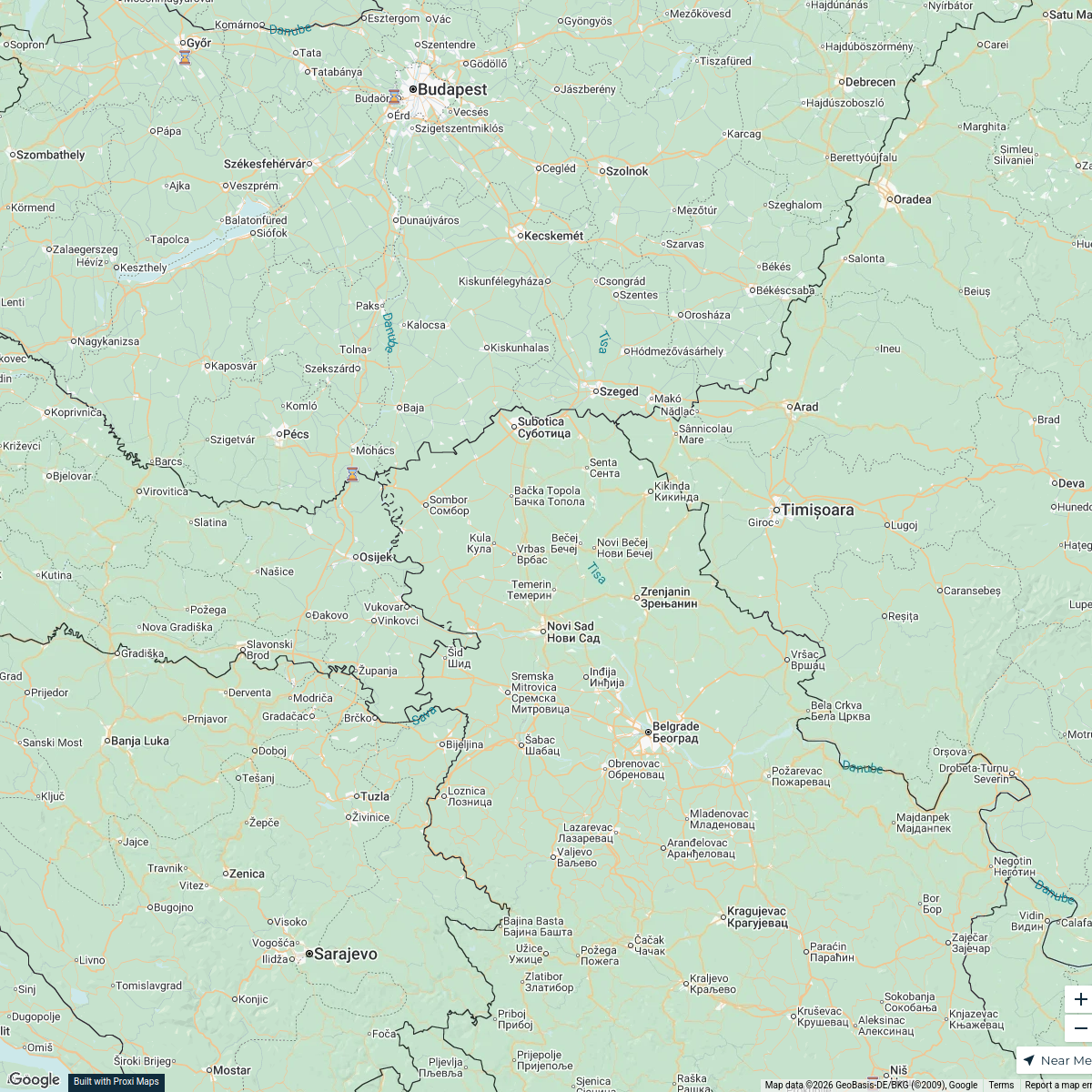
Map · 15 places
Barbaros Mah School Zone
A detailed map showcasing the school education area in Barbaros Mah, focusing on key educational institutions and facilities in the vicinity of Bey and Emin Ağa Cd.
Made with ProxiUpdated Oct 2025
- Educational Resources 5
- Schools 4
- Cafeterias 3
- Kindergartens 2
- Playgrounds 1
Places on This Map
15 places · 5 groupsNearby Maps
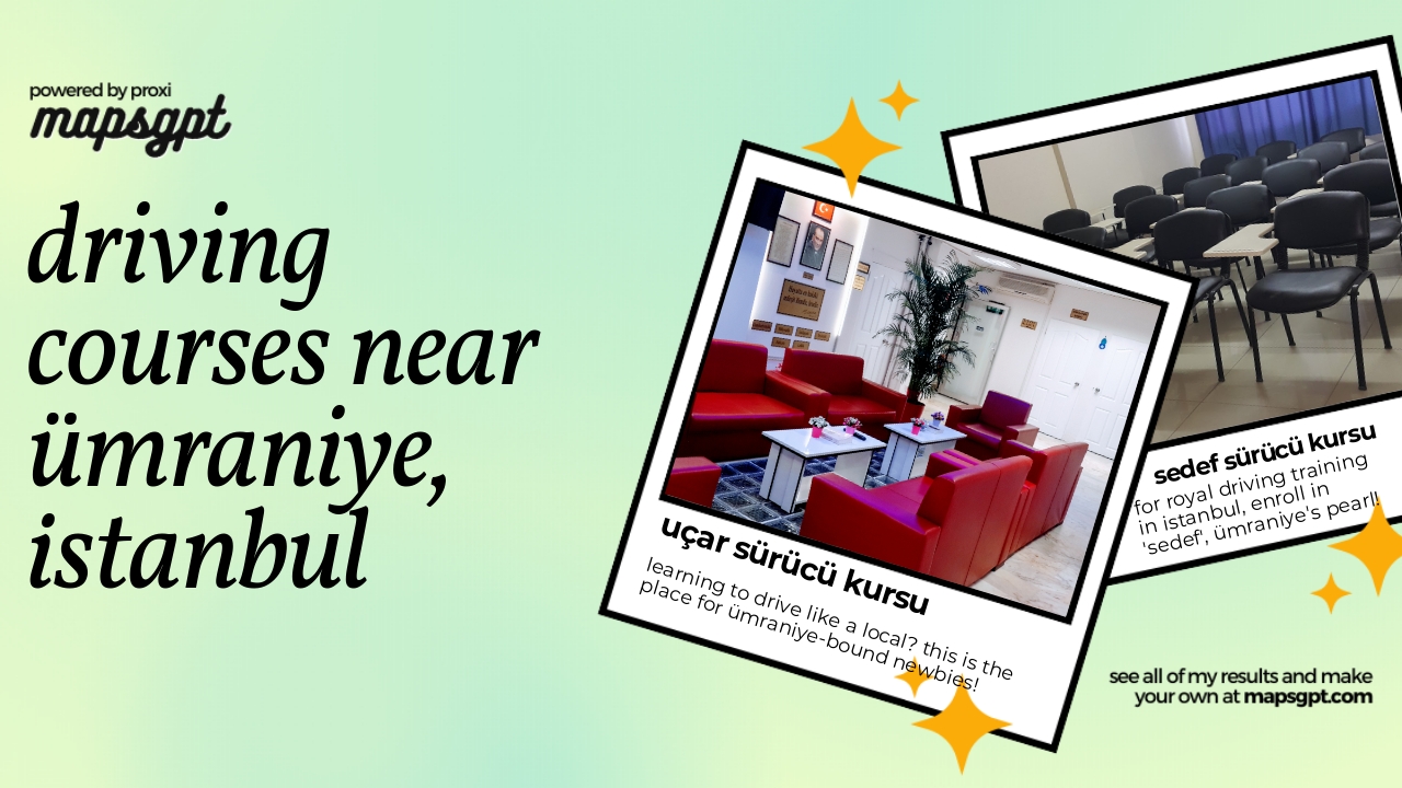
driving courses near Ümraniye, İstanbul
2 stops · Umraniye, Elmalıkent, 34764 Ümraniye/İstanbul, Türkiye AMRO “YAKUB” ABDULVAHİT's Workspace
Expedition Turkey 1
10 stops Jiří Danko's Workspace
MA in Refugee Protection Network
88 stopsana.mckellar's Workspace
Community Map
Adana Sightseeing
15 stops · Adana, Reşatbey, Seyhan/Adana, TürkiyeShared by the Proxi community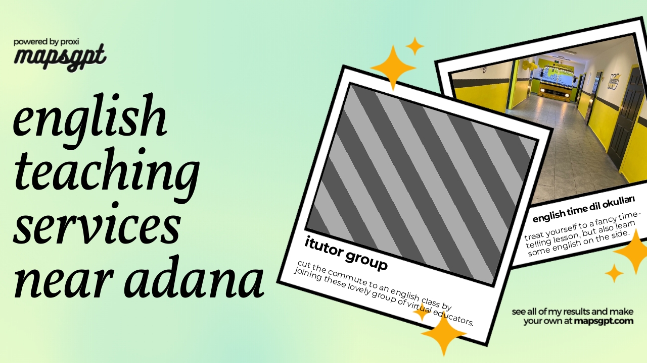 Community Map
English Teaching Services near Adana
4 stops · Adana, Reşatbey, Seyhan/Adana, TürkiyeShared by the Proxi community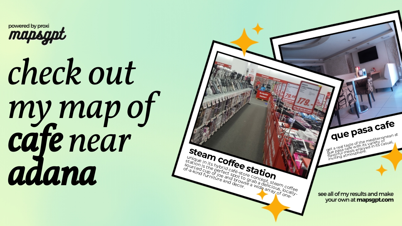 Community Map
cafe near adana
9 stops · Adana, Reşatbey, Seyhan/Adana, TürkiyeShared by the Proxi community
This map was made with Proxi
Have a main street, a market, or a story worth walking? Make your own map in a few minutes.