
Map · 18 places · United Townships of Dysart, Dudley, Harcourt, Guilford, Harburn, Bruton, Havelock, Eyre and Clyde, Ontario
Haliburton Topographic Map
A detailed topographic map showcasing the elevation changes, natural features, and terrain of Haliburton, Ontario. Ideal for outdoor activities such as hiking, camping, and exploring the natural landscapes of the region.
Made with ProxiUpdated Oct 2025
- Parks and Reserves 12
- Outdoor Activities 3
- Camping Sites 2
- Hiking Trails 1
Places on This Map
18 places · 4 groupsNearby Maps
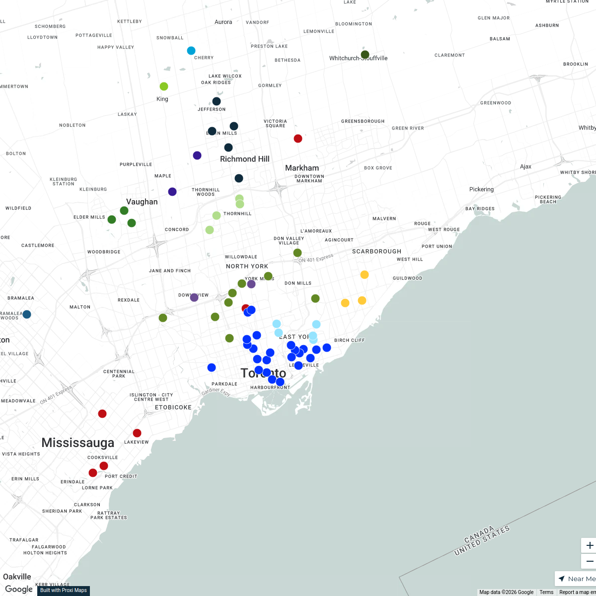
Patient Location Mapping - Ontario
112 stops Hannah Shalom's Workspace
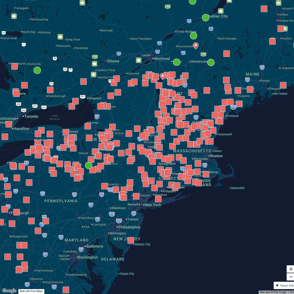
Maple Map / Carte des sucres
441 stops · Albany, NY, USA StoryWorkz Creative's Workspace
Hosper Mortgage - Pricing Map
402 stopsshana's WorkspaceCommunity Map
Haliburton Wedding Map
19 stopsShared by the Proxi communityCommunity Map
Our Wedding Guests Map
14 stops · Tory Hill, ON K0L 2Y0, CanadaShared by the Proxi communityCommunity Map
Kushog Lake Exploration Map
15 stops · Kushog Lake, Algonquin Highlands, ON K0M 1J2, CanadaShared by the Proxi community
This map was made with Proxi
Have a main street, a market, or a story worth walking? Make your own map in a few minutes.