
Map · 16 places · Toronto, Ontario
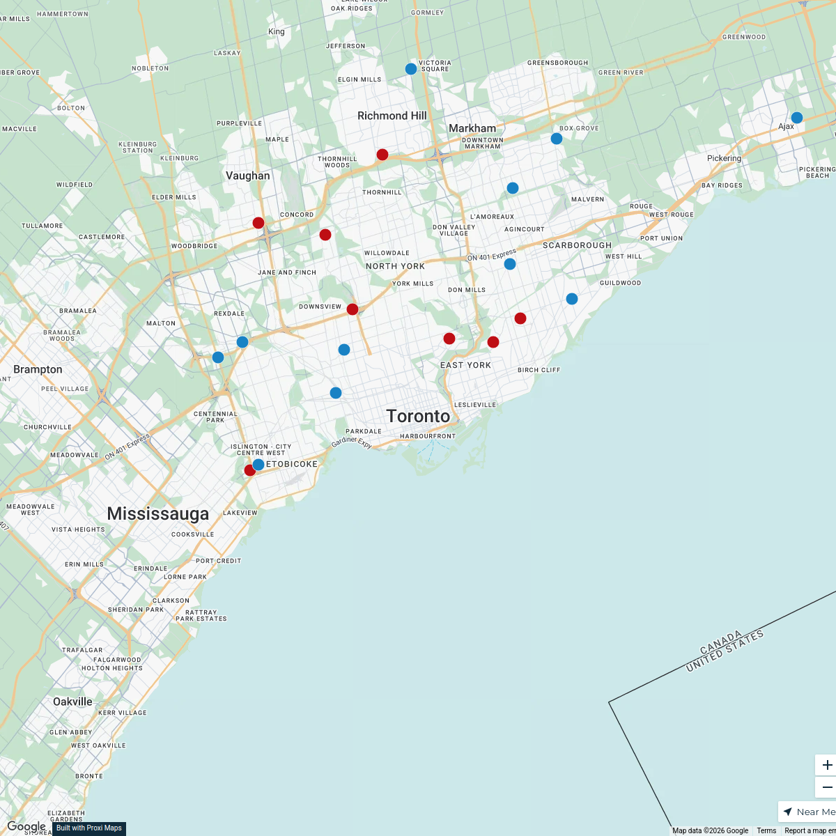
Walkable Rivers of Toronto
A detailed map showcasing the rivers in the Greater Toronto Area (GTA) divided into 2km walkable sections. This map highlights scenic walking paths alongside the rivers, connecting parks, neighborhoods, and natural features, making it ideal for pedestrians and nature enthusiasts.
Made by clifford.rutledge's WorkspaceUpdated Sep 2025
- Parks 11
- Urban Exploration 4
- Walking Trails 1
Places on This Map
16 places · 3 groupsNearby Maps
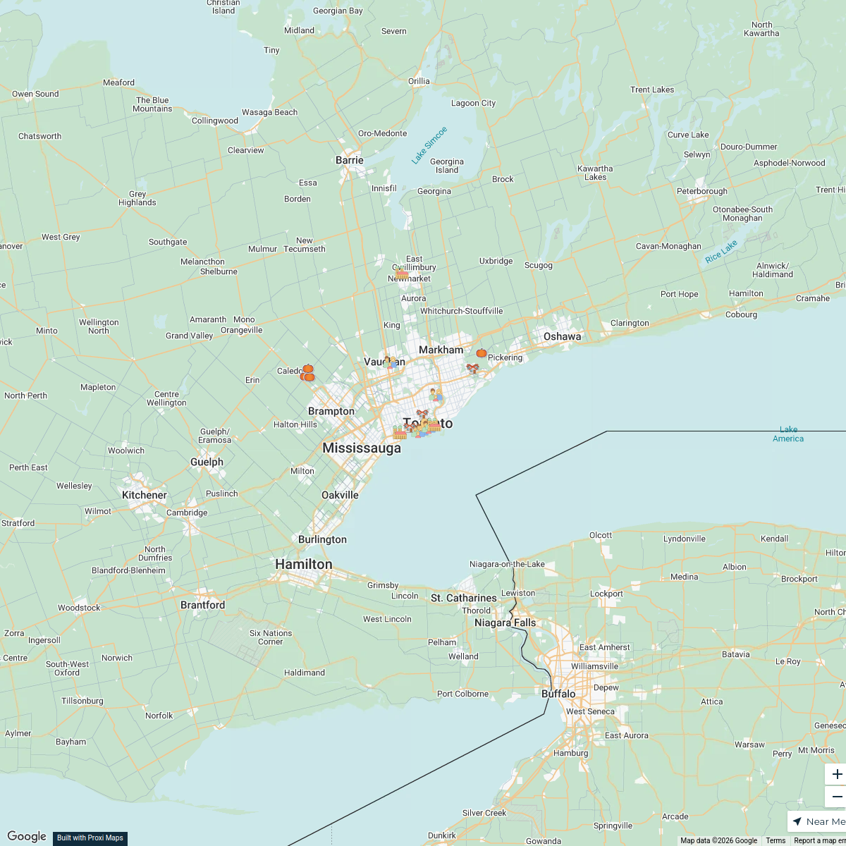
Toronto Trick-Or-Treat-Map
49 stops · Toronto, ON, CanadaCuriocityToronto Deliveries Map
25 stops · Toronto, ON, Canada dispatch's Workspace
Halloween Hotspots in Toronto
20 stops · Toronto, ON, Canada filipov.diogo's Workspace
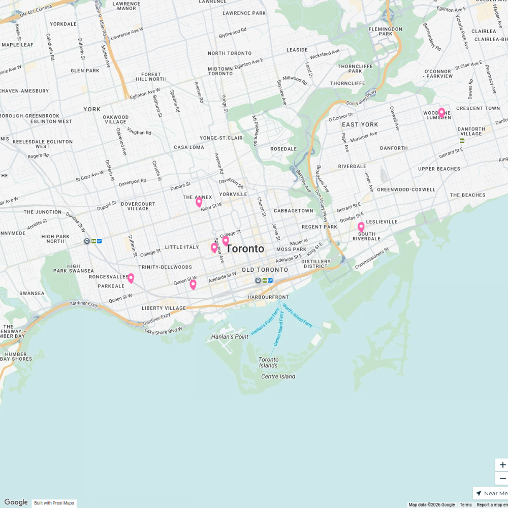
Community Fridge Locations
7 stops · Toronto, ON, Canada Community Fridge's Workspace
Toronto, Canada
93 stops · Toronto, ON, Canada Lea Di Giovanni · @leastraveldiaries
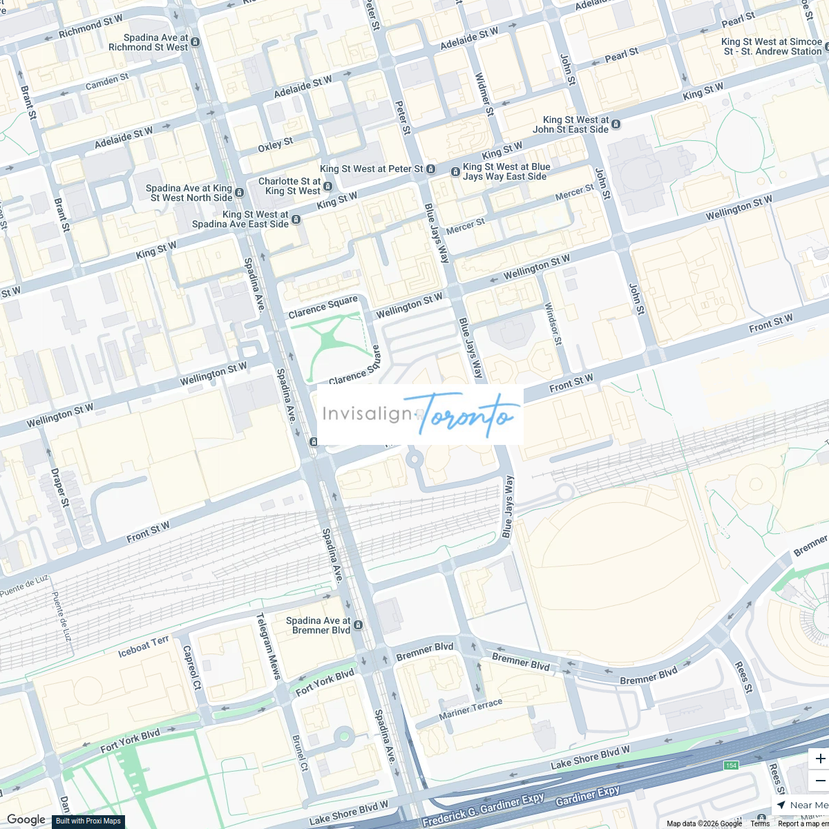
Invisalign Centers in Toronto
2 stops · 350 Front St W, Toronto, ON M5V 3W7, Canadainvisalignlawrenceave's Workspace


This map was made with Proxi
Have a main street, a market, or a story worth walking? Make your own map in a few minutes.