
Map · 8 places · Cornwall, Ontario
Champlain LHIN Overview
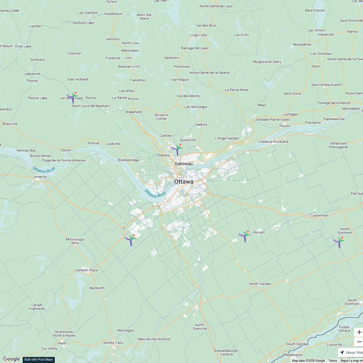
A detailed map showcasing the Champlain Local Health Integration Network (LHIN) region, with a focus on Cornwall, Ontario and its surrounding areas, highlighting healthcare services and community resources.
Made with ProxiUpdated Sep 2025
- Healthcare Facilities 5
- Community Services 3
Places on This Map
8 places · 2 groupsNearby Maps
Cornwall & Stormont Dundas Glengarry Explorer
9 stops · Cornwall, ON, Canada laurapaquet's Workspace
Ottawa #Holidays613 Lights Map 2022
119 stops · Ottawa International Airport (YOW), Airport Parkway Private, Ottawa, ON, Canada Jessi @ Explore 613
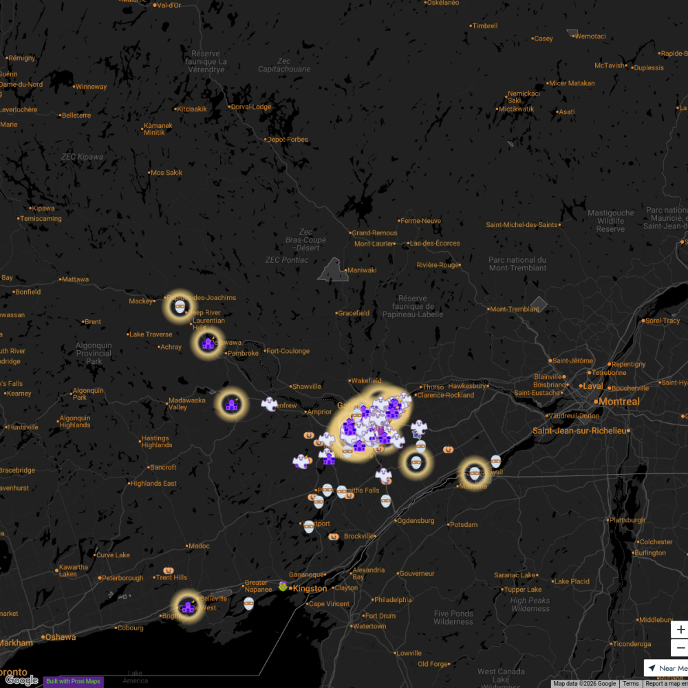
Explore613 Halloween Map 2024
255 stopsJessi @ Explore 613Skate Trails Near Ottawa
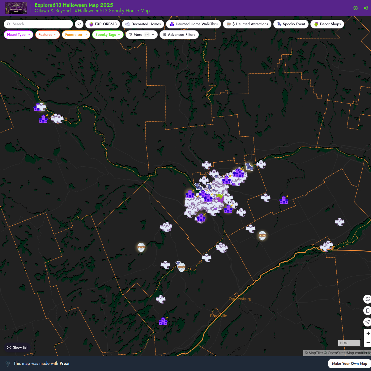
7 stops · Ottawa, ON, Canadalaurapaquet's WorkspaceExplore613 Halloween Map 2025
221 stopsJessi @ Explore 613Explore613's Halloween Map 2023
200 stopsJessi @ Explore 613



This map was made with Proxi
Have a main street, a market, or a story worth walking? Make your own map in a few minutes.