
Map · 15 places
Pollution and Ecological Risks in Rewari District
This map illustrates the spatial distribution of pollution hotspots and ecological risk zones in Rewari district, India. It features various layers, including district boundaries, major transportation routes, hydrology, and land use. Notable icons mark key pollution sources such as industrial effluent discharge points, CETPs/ETPs, contaminated groundwater wells, and high-impact villages, providing a comprehensive overview of environmental concerns in the area.
Made with ProxiUpdated Sep 2025
- Urban Areas 9
- Industrial Zones 5
- Water Bodies 1
Places on This Map
15 places · 3 groupsNearby Maps
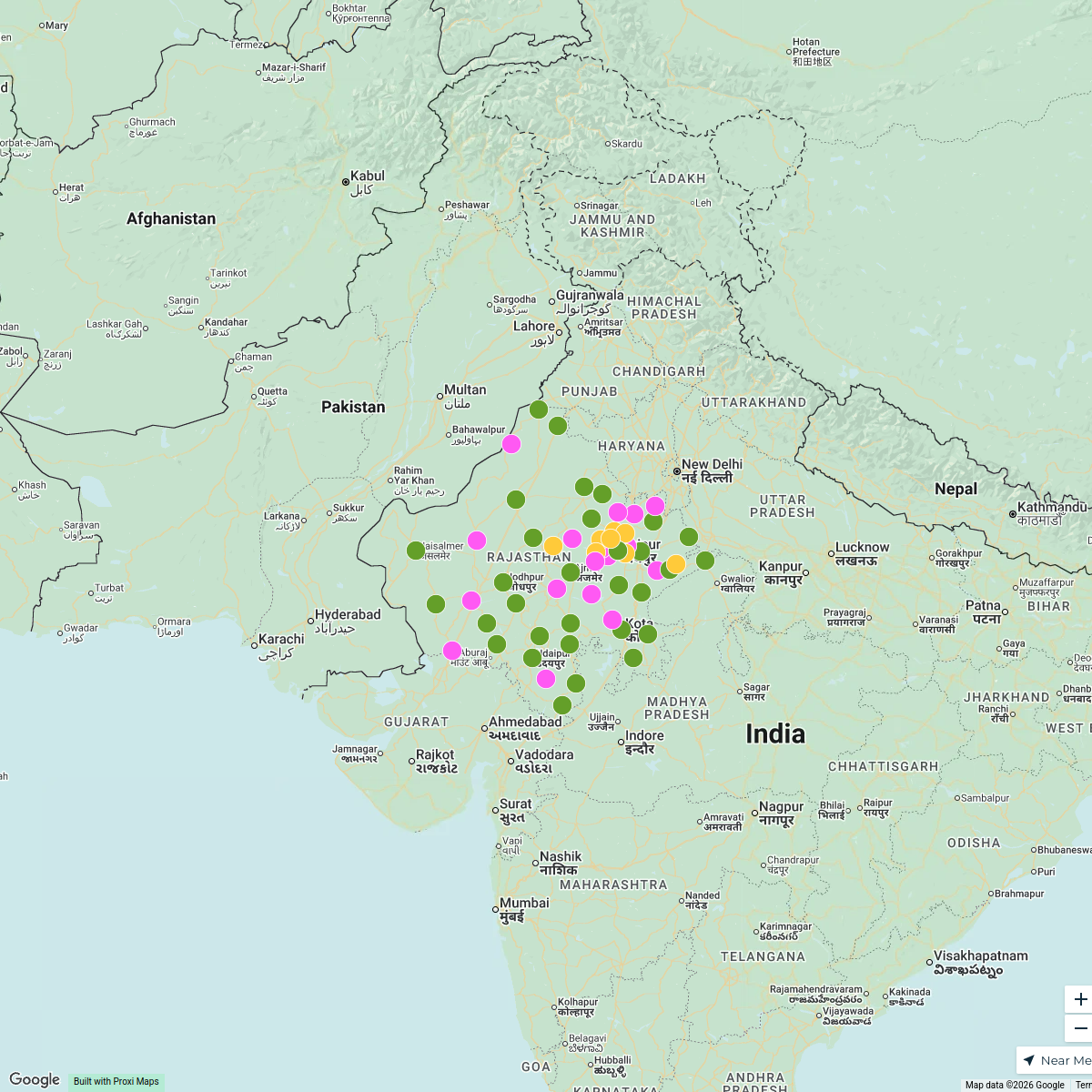
Rajasthan Places
58 stops · Rajasthan, India Aastha Dusad's Workspace
Distribution Channels in Pune
25 stops · Pune, Maharashtra, India Gaurav Jha's Workspace
Community Map
Rewari - A Journey through History and Culture
15 stops · Rewari, Haryana 123401, IndiaShared by the Proxi communityCommunity Map
Rewari Hotel Guide
10 stops · Rewari, Haryana 123401, IndiaShared by the Proxi community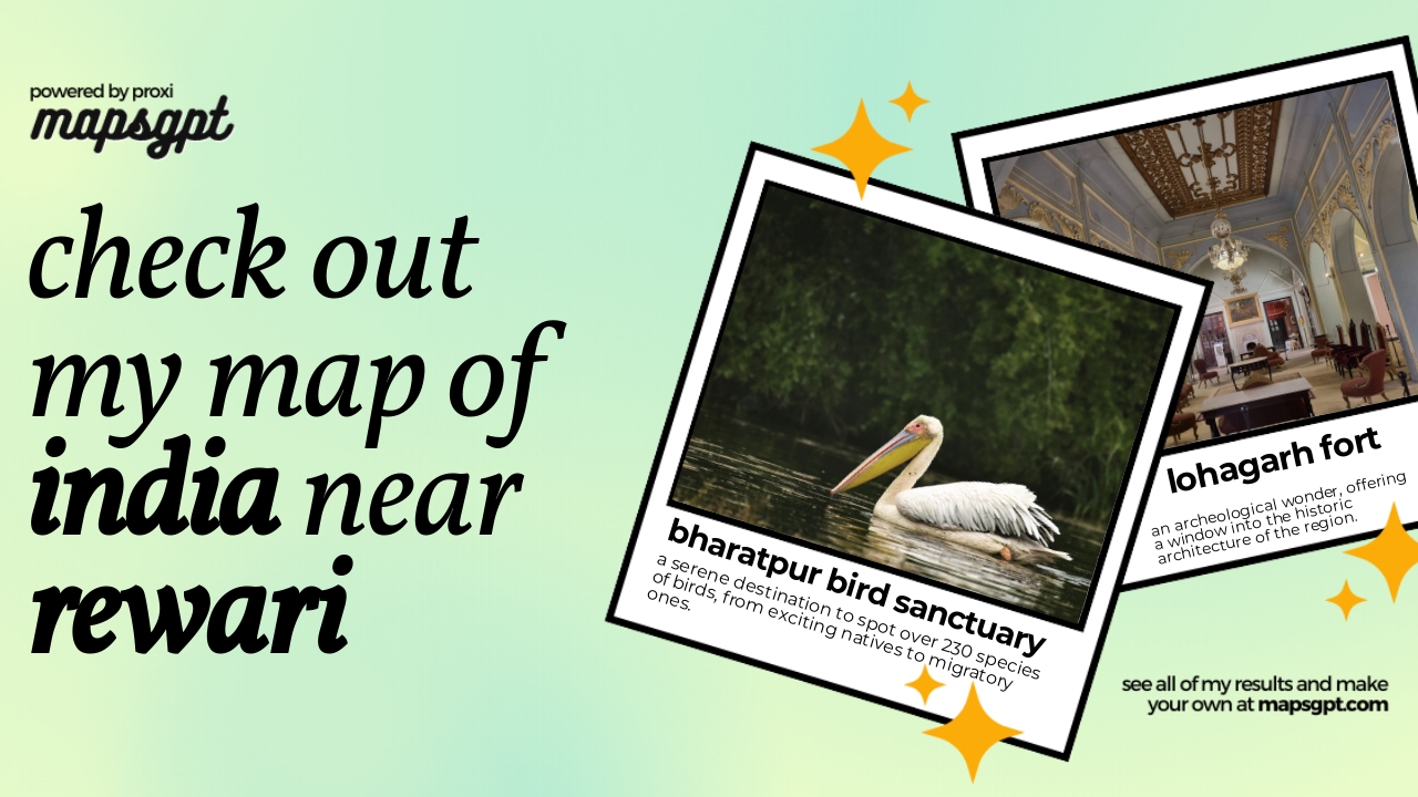 Community Map
india near rewari
8 stops · Rewari, Haryana 123401, IndiaShared by the Proxi community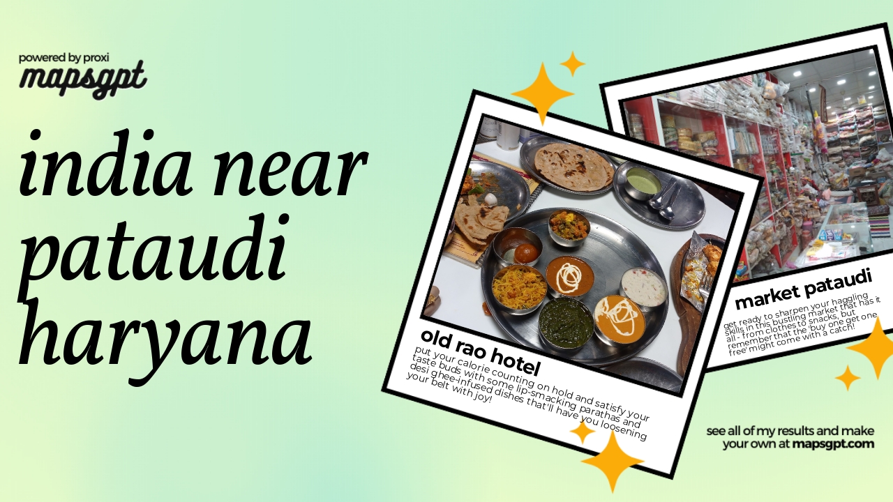 Community Map
INDIA near PATAUDI HARYANA
5 stops · Pataudi, Haryana 122503, IndiaShared by the Proxi community
This map was made with Proxi
Have a main street, a market, or a story worth walking? Make your own map in a few minutes.