
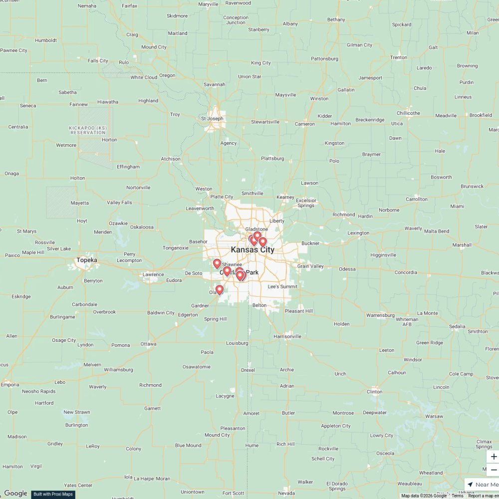
Map · 16 places · Roeland Park, KS
Roeland Park Work Routes
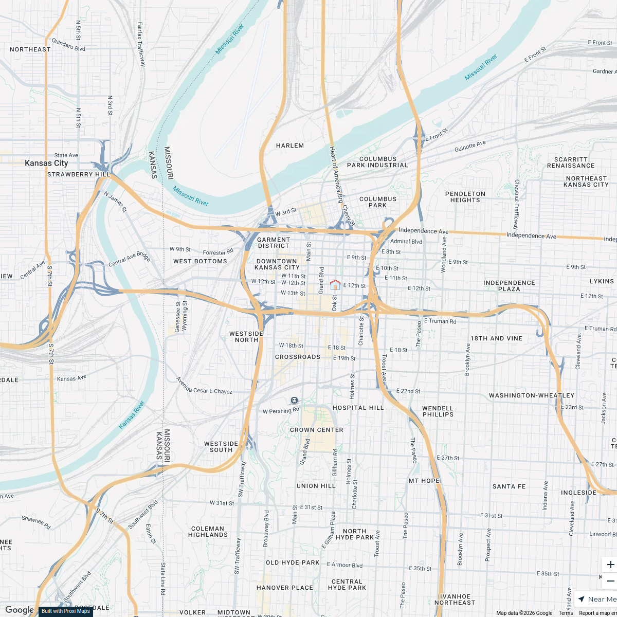
A detailed map highlighting common work routes in and around Roeland Park, Kansas. This map can help commuters identify the best paths for daily travel to various workplaces, as well as alternative routes to avoid traffic.
Made with ProxiUpdated Sep 2025
- Commute Paths 16
Places on This Map
16 places · 1 groupNearby Maps
★ Staff Pick
Third Friday Art Walk: Monthly Map
32 stops · North 6th Street & Tauromee Avenue, Kansas City, KS, USAShared by the Proxi communityHome Inspector Kansas City, MO.
999 stops Steve Rodriguez's Workspace
pickleball courts near kansas city
10 stops · Kansas City, MO, USA Mel's Workspace
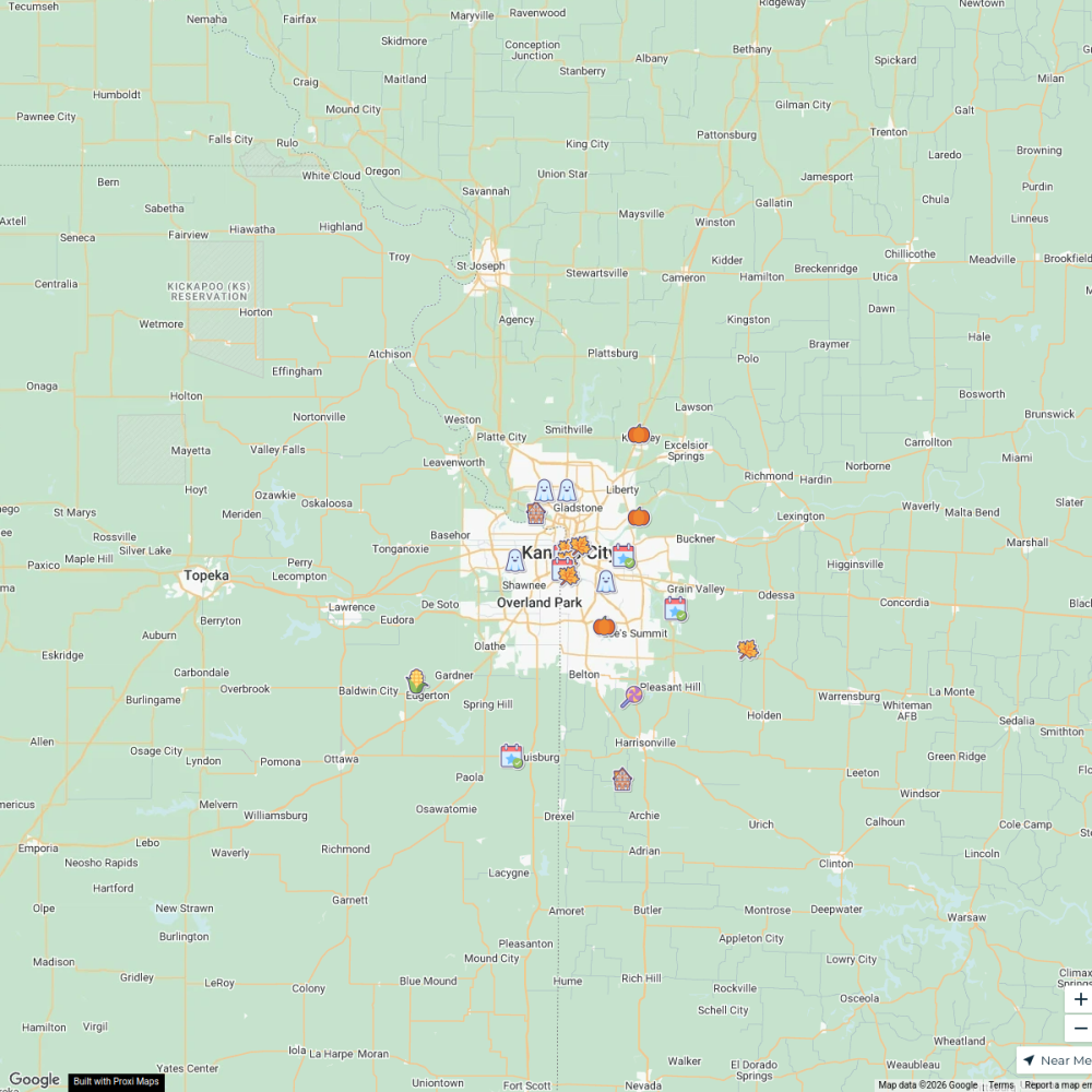
Fall + Halloween Map, Kansas City Area
25 stops · Kansas City, KS, USA Chelsey's Proxi Workspace
Shawnee, KS
44 stops Livability
Home inspector Raymore, MO.
793 stopsSteve Rodriguez's Workspace

This map was made with Proxi
Have a main street, a market, or a story worth walking? Make your own map in a few minutes.