
Map · 25 places
Coverage Areas of London
A detailed map showcasing various coverage areas across London, UK. This map highlights different zones, including public transportation, mobile networks, and internet service providers, allowing residents and visitors to easily understand the connectivity landscape of the city.
Made with ProxiUpdated Aug 2025
Places on This Map
25 placesOpen the map to see what’s on it.
Nearby Maps
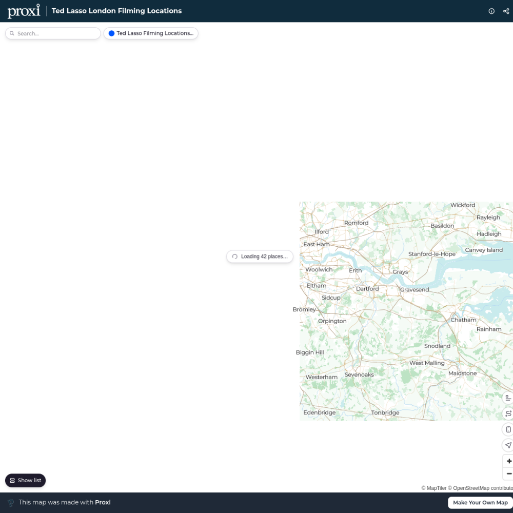
Ted Lasso London Filming Locations
42 stops · London London in Real Life's Workspace
London's Oldest Pubs
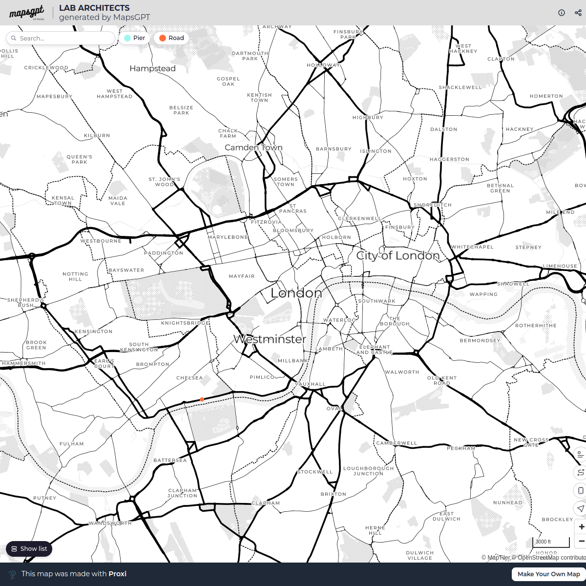
13 stops · London, UKLondon in Real Life's WorkspaceLAB ARCHITECTS
1 stop · London, UK georgie's Workspace
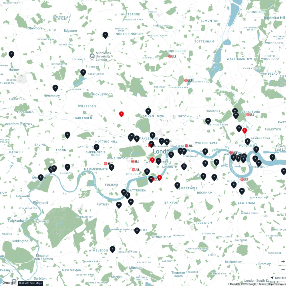
JLL Residential
76 stops JLL London
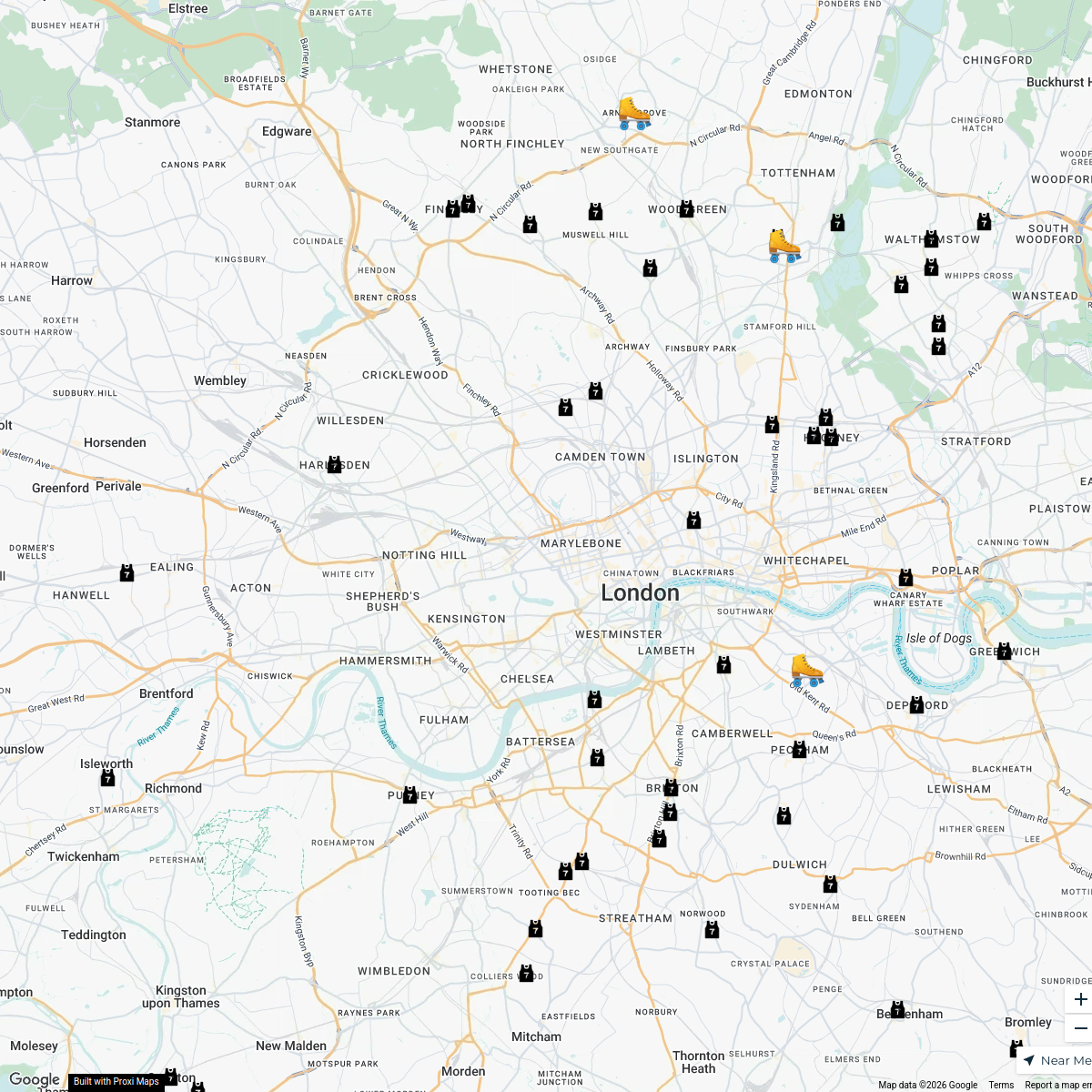
London Roller Derby
76 stops katylw123's Workspace
Pest Control London
37 stops · MA PEST CONTROL, 20 Ladbroke Cres, London W11 1PS, UKbethalmoore's Workspace


This map was made with Proxi
Have a main street, a market, or a story worth walking? Make your own map in a few minutes.