
Map · 12 places
Ohio Congressional Districts - Perimeter Minimization
A detailed map showcasing the congressional districts in Ohio, designed to minimize the perimeter of each district for optimal representation. The map centers on Ohio and highlights the unique boundaries of each district efficiently.
Made with ProxiUpdated Aug 2025
- Congressional Districts 5
- Voting Regions 4
- Political Geography 3
Places on This Map
12 places · 3 groupsNearby Maps
★ Staff Pick
Local's Guide to Columbus
81 stops · Columbus, OH, USA Chelsey's Proxi Workspace

The Buckeye Flame Pride Guide 2024
134 stops · Ohio, USA Ken Schneck's Workspace
2025 Ohio Pride Guide
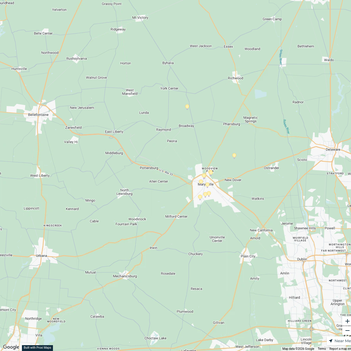
141 stopsKen Schneck's WorkspaceMarysville Holiday Lights Contest
11 stops The Courtright Group's Workspace
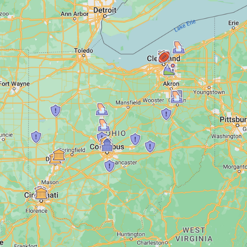
Ohio - Places to see
27 stops · Columbus, OH, USA The Driveby Tourist's Workspace
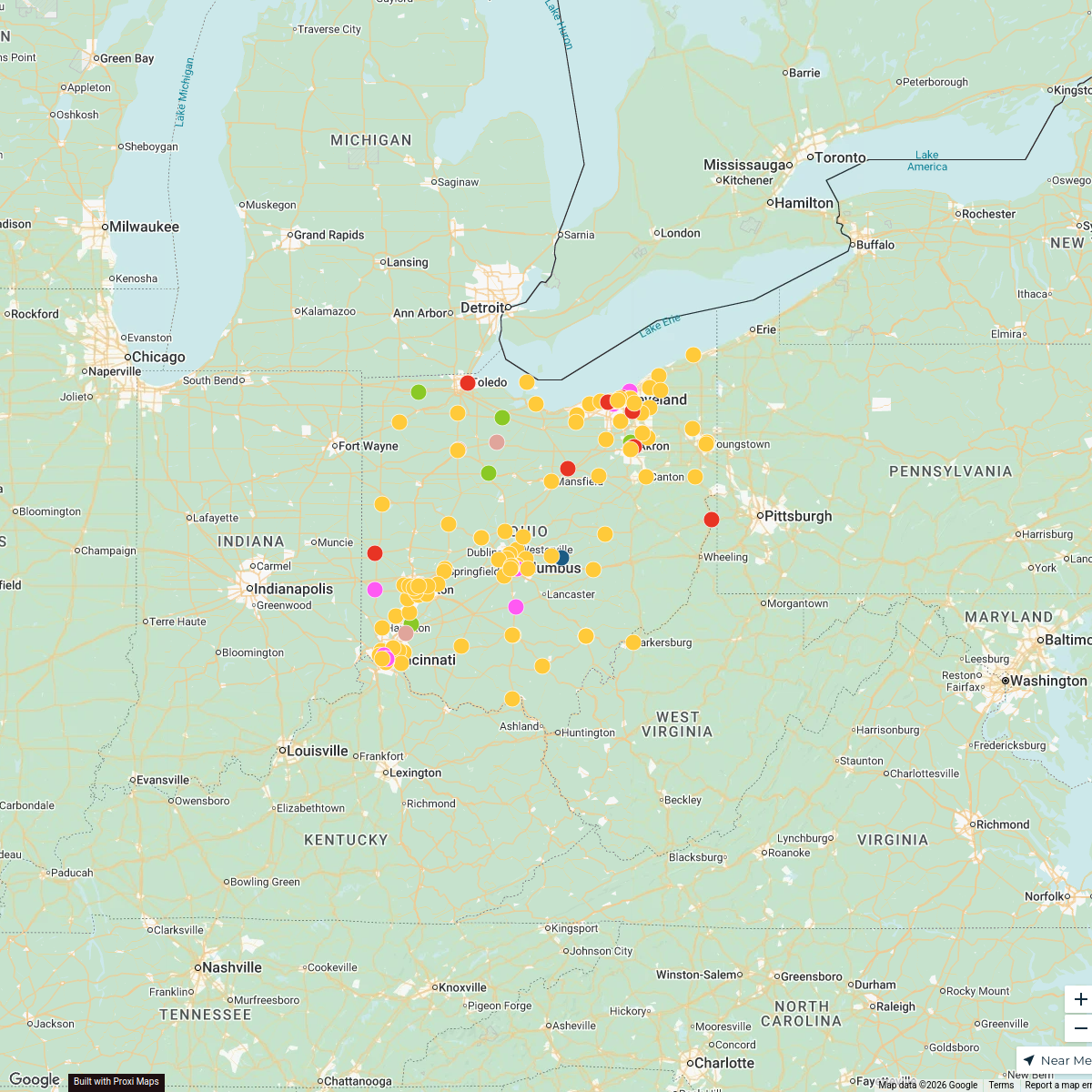
Hot Wing Map
307 stops Luke Barnhart's Workspace

This map was made with Proxi
Have a main street, a market, or a story worth walking? Make your own map in a few minutes.