
Map · 21 places
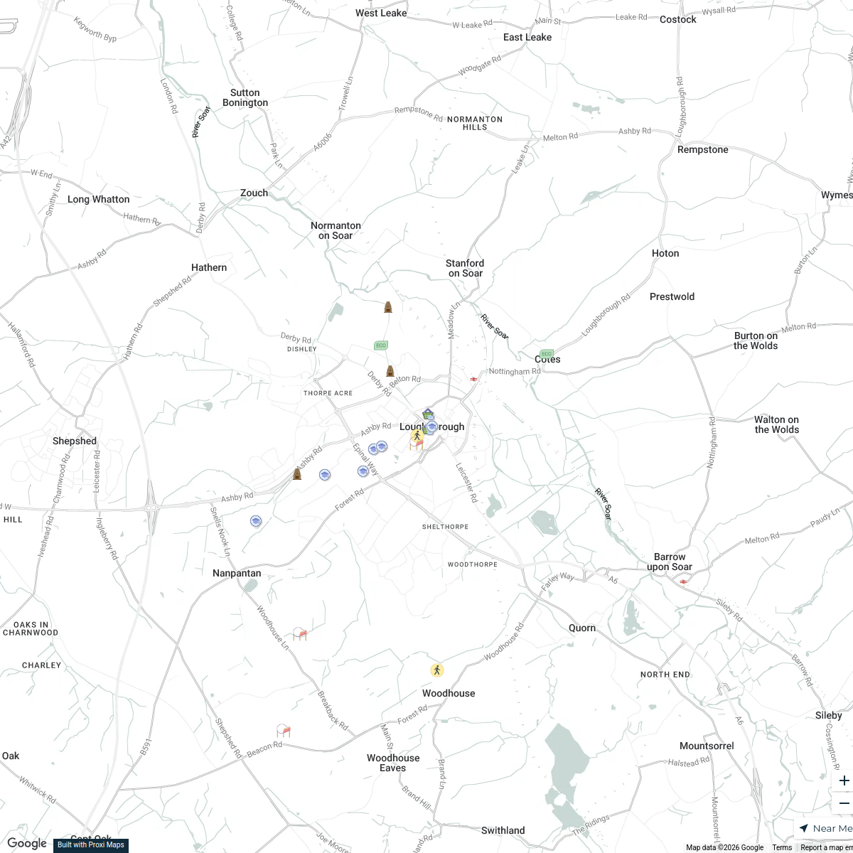
Loughborough Area Map
A detailed map focused on locations around Loughborough useful for driving tests and navigation.
Made with ProxiUpdated Aug 2025
- Road 12
- Street 5
- Intersection 3
- Driving Test Centre 1
Places on This Map
21 places · 4 groupsNearby Maps
Loughborough Town Map
19 stops · Loughborough, UK riz68's Workspace
Music Venues Near Nottingham Forest
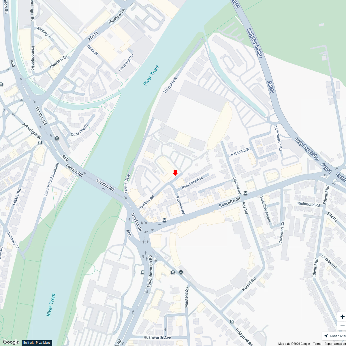
7 stops · Nottingham Forest Football Club Ticket Office, Pavilion Road, West Bridgford, No mowen's Workspace
food banks near Nottingham
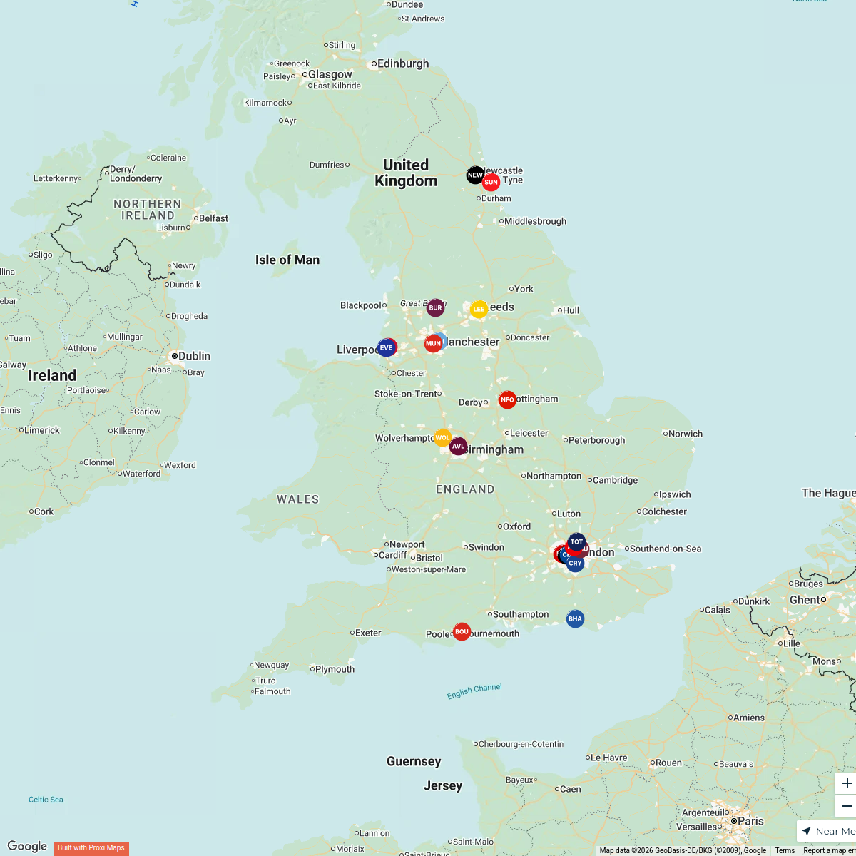
9 stops · Nottingham, UKinfo's WorkspaceMap of Premier League Teams
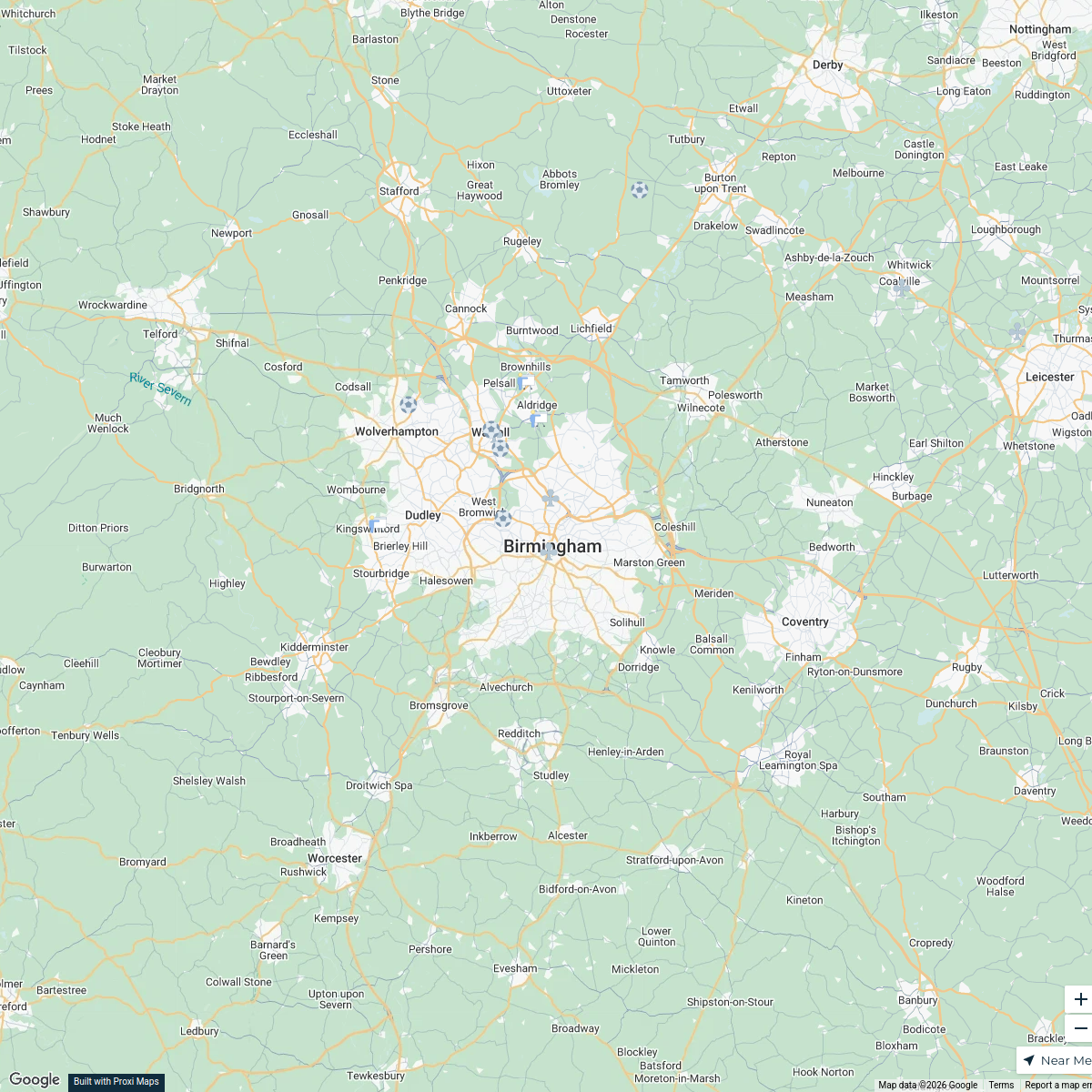
20 stops · England, UKAndrew Swinney's WorkspaceBirmingham Futsal Venues
15 stops · Birmingham, UKbenbond306's WorkspacePremier League Clubs Map
20 stopsjake's Workspace

This map was made with Proxi
Have a main street, a market, or a story worth walking? Make your own map in a few minutes.