
Map · 18 places
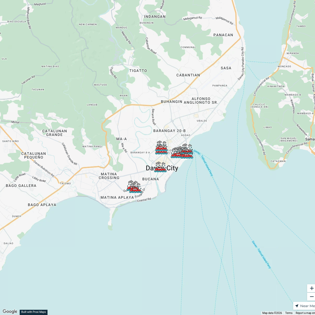
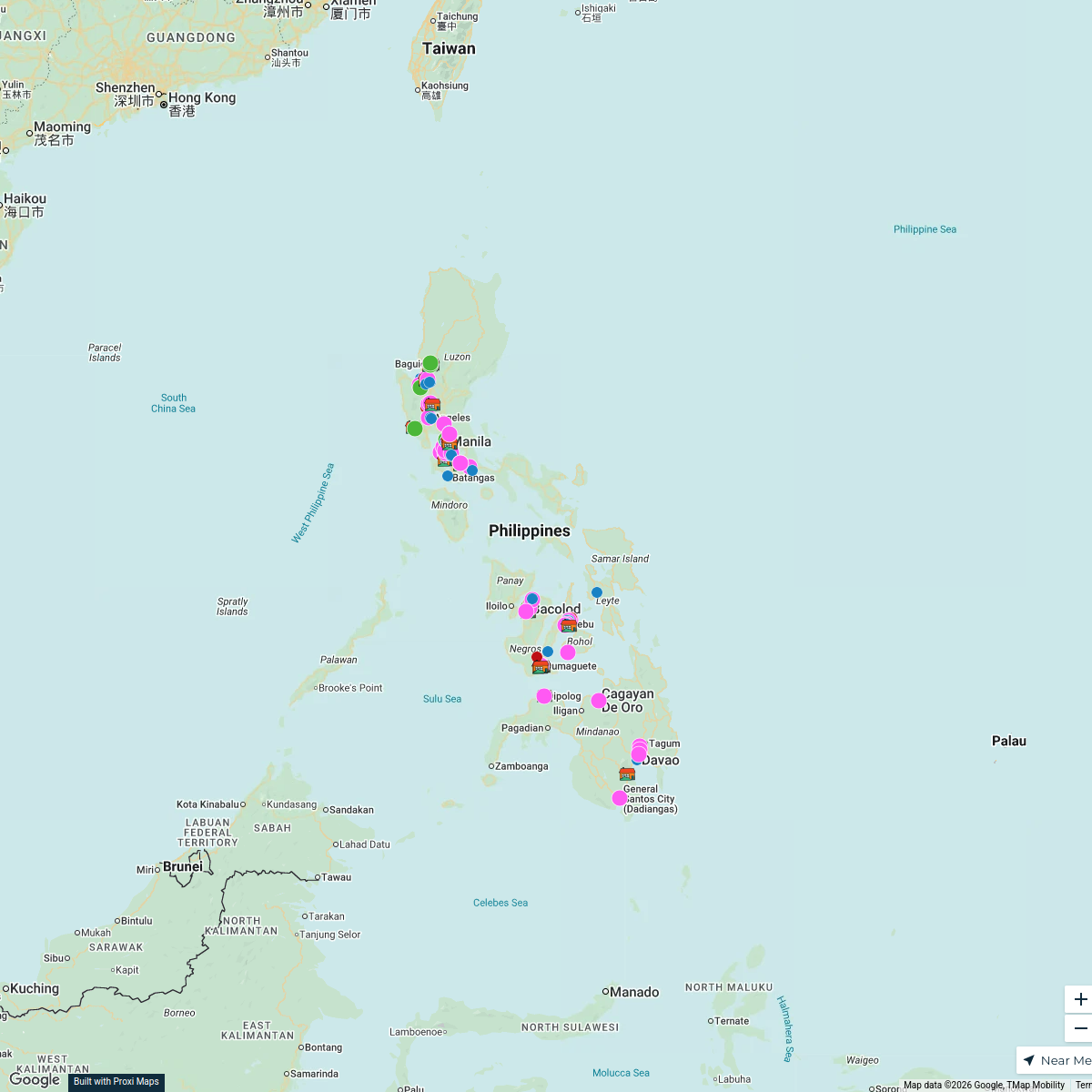
Davao City Flood Impact Map
A detailed map highlighting areas affected by flooding in Davao City, Davao del Sur, Philippines, including flood-prone zones, evacuation centers, and key infrastructure.
Made by YUNA BEATRIZ ABELLANA's WorkspaceUpdated Aug 2025
- Infrastructure 18
Places on This Map
18 places · 1 groupNearby Maps
Davao City Floods - October 2024
10 stops Yas Ocampo's Workspace
GMALL Toril to Davao Central College Route
1 stop · Davao City, Davao del Sur, Philippines Hayner Ugos's Workspace
Crime Map of Salvacion, Panabo
8 stopsCedrick Biado's WorkspaceMindanao low pressure area floods
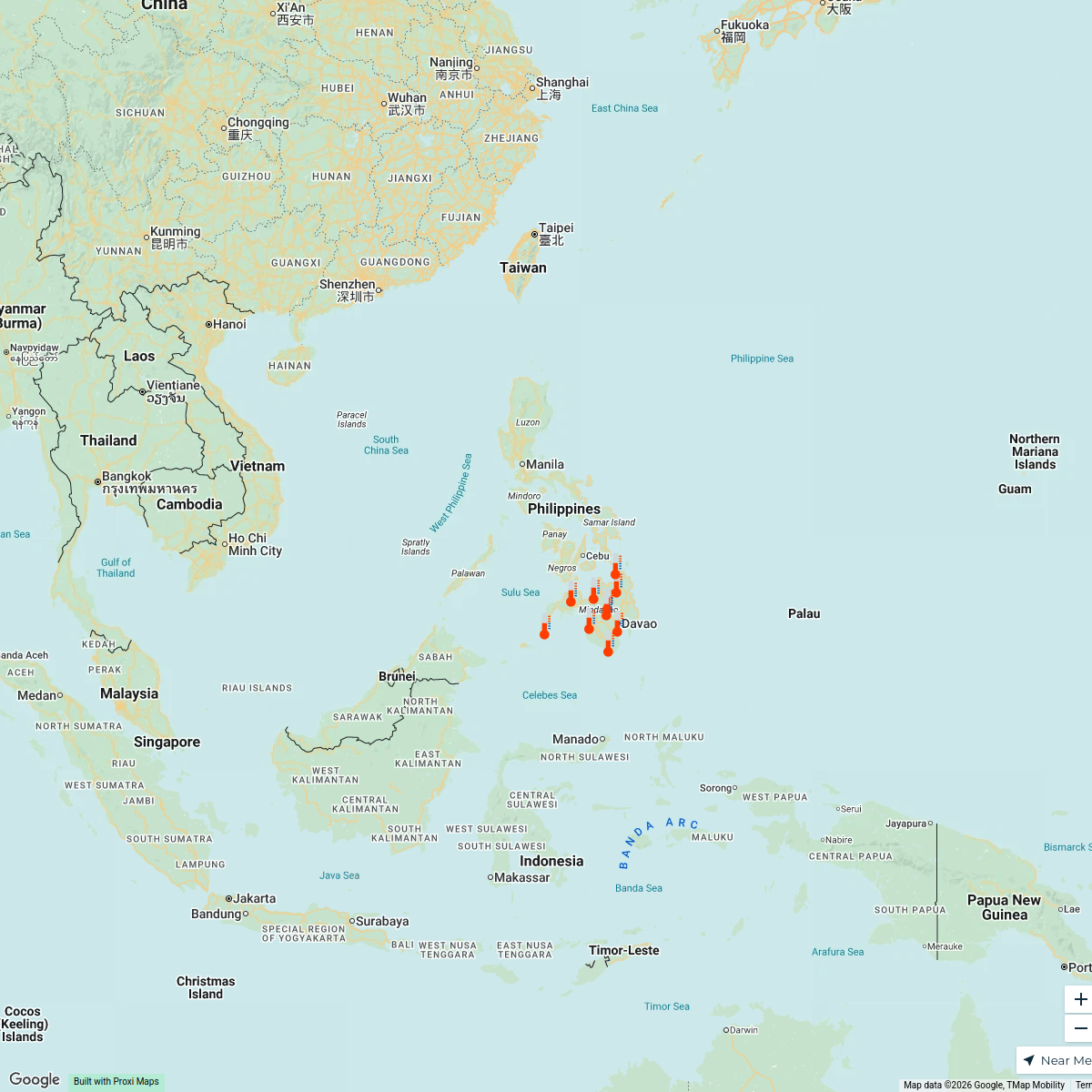
21 stopsYas Ocampo's WorkspaceMindanao heat index
10 stopsYas Ocampo's WorkspaceOrphanage Ministry
106 stopsBob Hansen's Workspace

This map was made with Proxi
Have a main street, a market, or a story worth walking? Make your own map in a few minutes.