
Map · 25 places
London Transport Network
A comprehensive map illustrating the Transport for London (TfL) lines, including iconic bus and tube routes throughout London, UK. This map provides an overview of public transportation options across the city, highlighting connections and key stations.
Made with ProxiUpdated Aug 2025
- Tube Lines 11
- Major Interchange Stations 5
- Bus Routes 3
- Cycle Routes 2
- DLR Services 2
- Riverboat Services 2
Places on This Map
25 places · 6 groupsNearby Maps
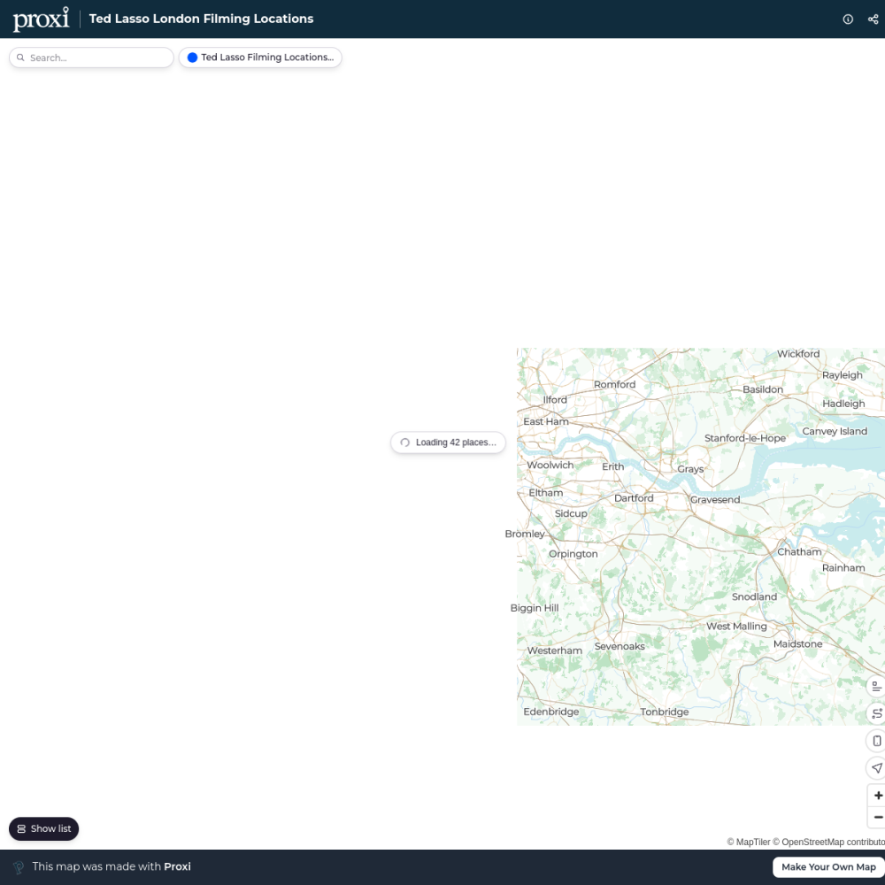
Ted Lasso London Filming Locations
42 stops · London London in Real Life's Workspace
London's Oldest Pubs
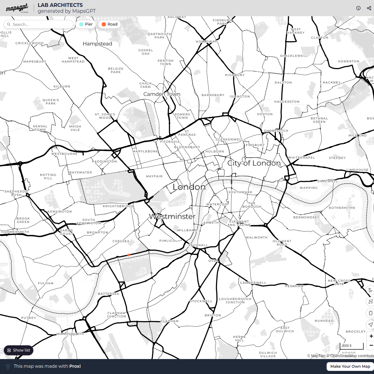
13 stops · London, UKLondon in Real Life's WorkspaceLAB ARCHITECTS
1 stop · London, UK georgie's Workspace
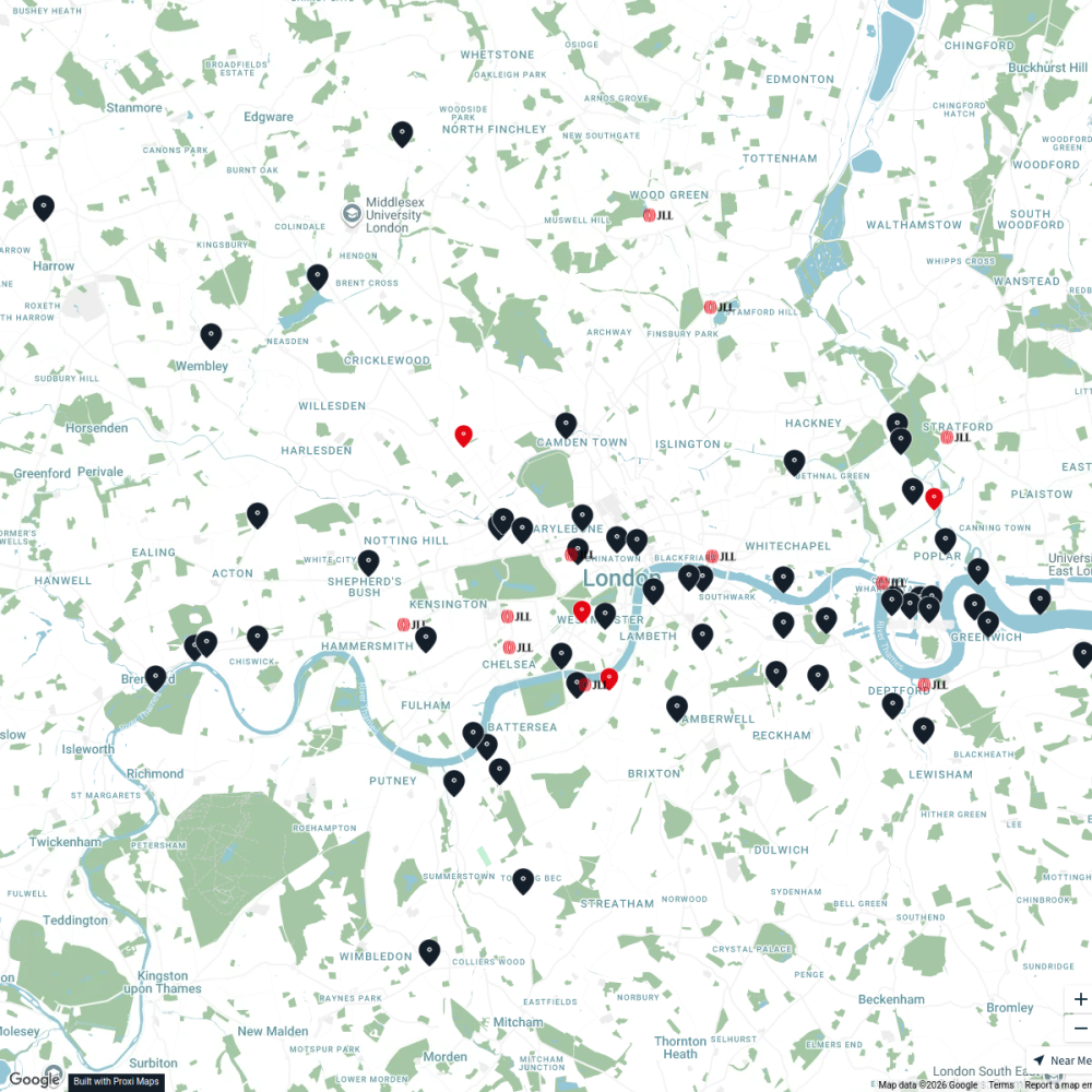
JLL Residential
76 stops JLL London
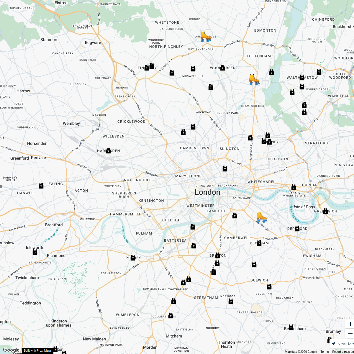
London Roller Derby
76 stops katylw123's Workspace
Pest Control London
37 stops · MA PEST CONTROL, 20 Ladbroke Cres, London W11 1PS, UKbethalmoore's Workspace


This map was made with Proxi
Have a main street, a market, or a story worth walking? Make your own map in a few minutes.