
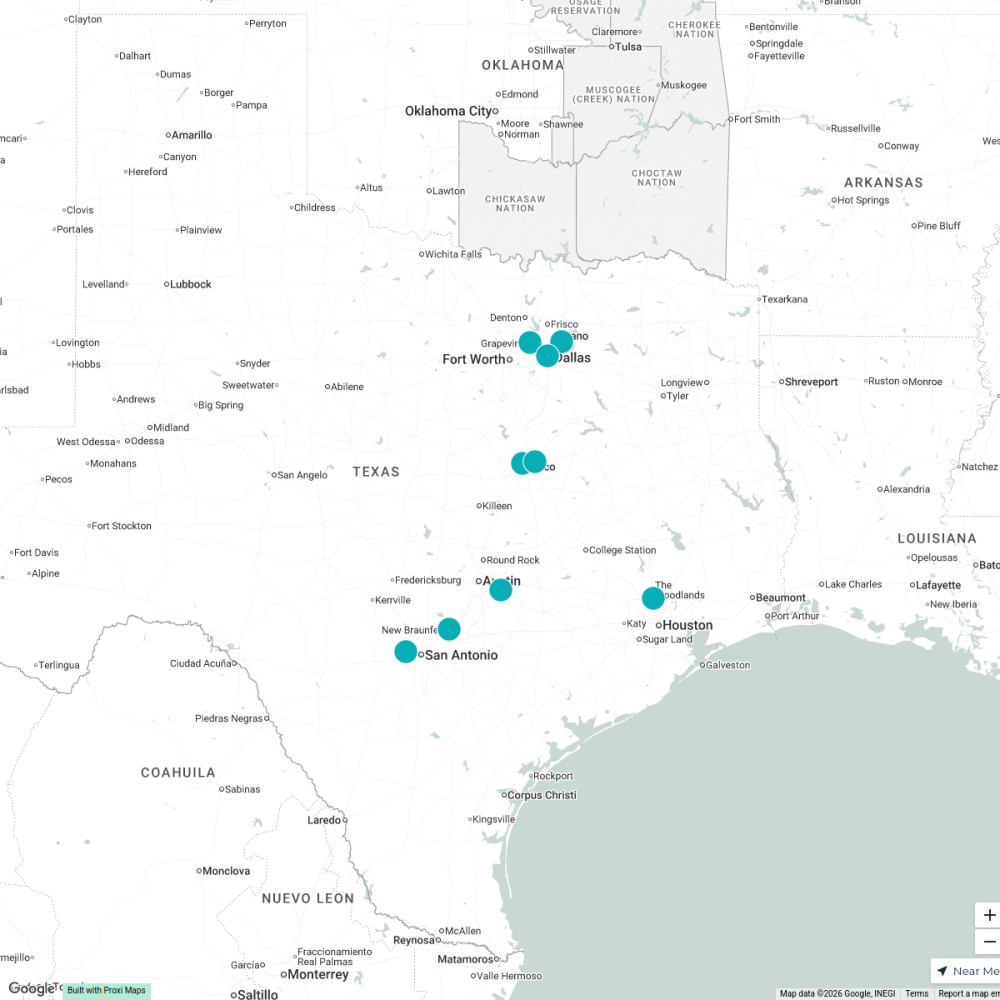
Map · 20 places
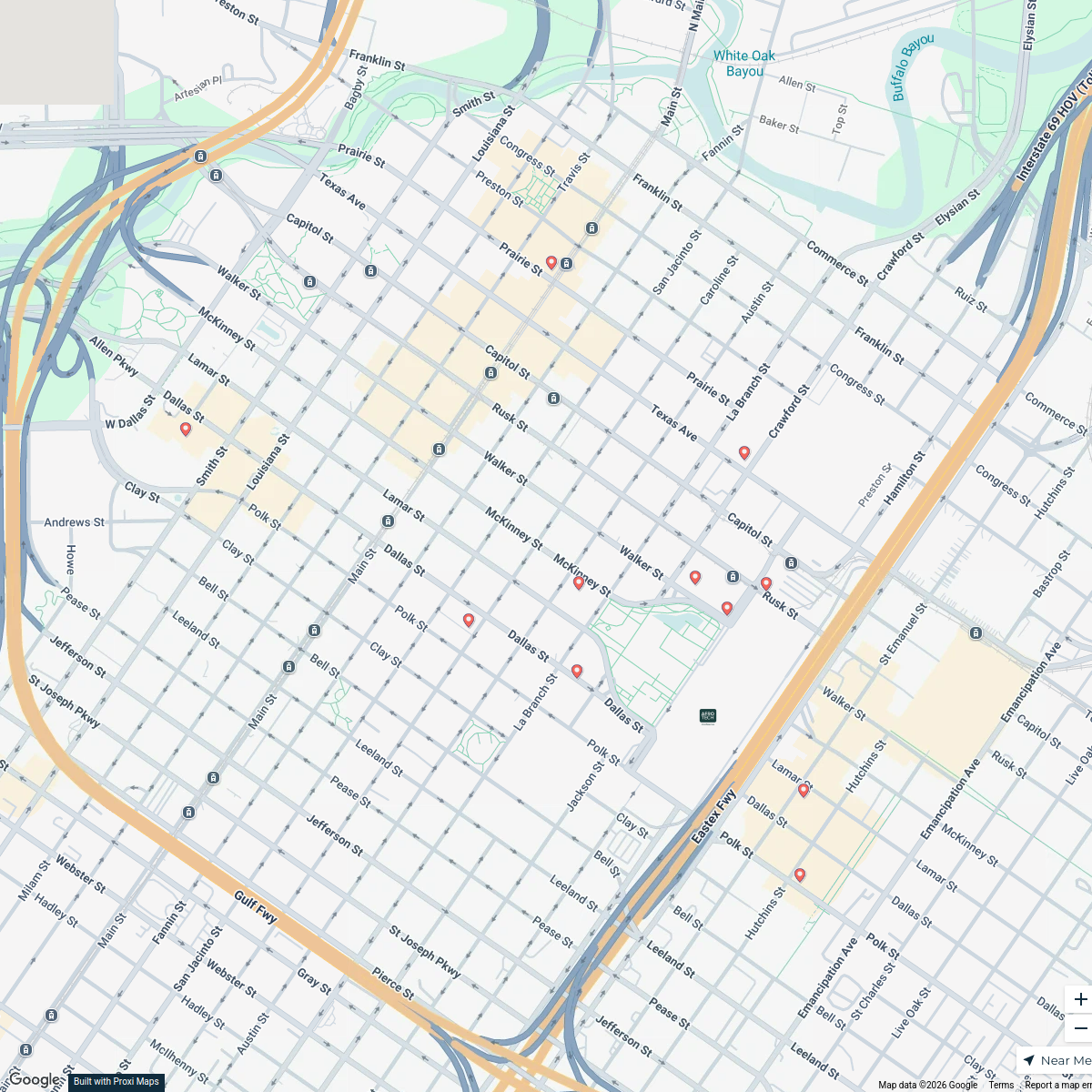
Houston Metro Transit Map
A professional transit map showcasing various public transport modes across the Houston Metro Area, including subway, light rail, commuter rail, and bus rapid transit.
Made with ProxiUpdated Aug 2025
- Suburban Area 10
- District 8
- Airport 2
Places on This Map
20 places · 3 groupsNearby Maps
Galindo Roofing
1 stop Carlos Galindo's Workspace
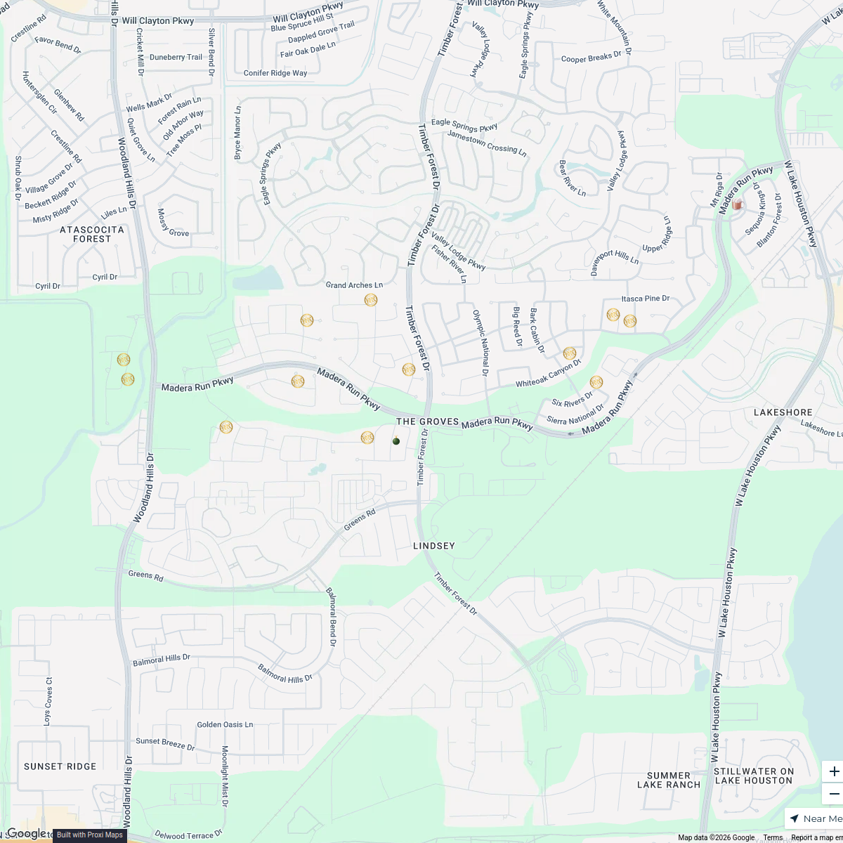
Naming Rights Preferred Venues
17 stopsNaming Rights VenueThe Groves Trail of Lights 2025
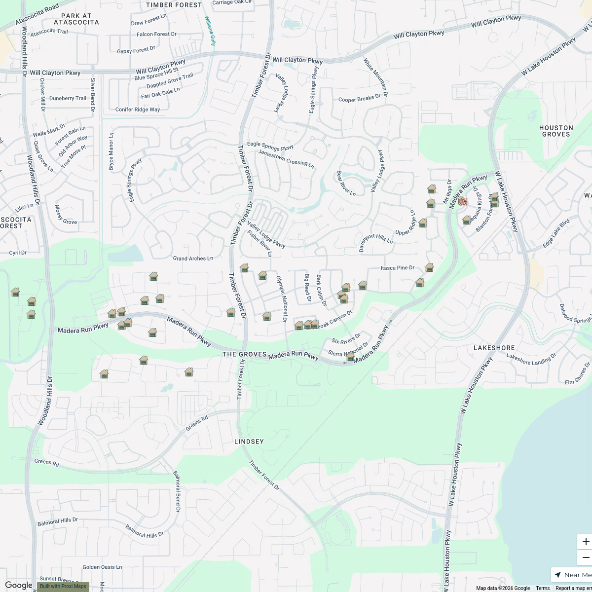
14 stops · The Groves, Houston, TX, USA The Groves Lifestyle's Workspace
2025 Fall Garage Sale Map - The Groves
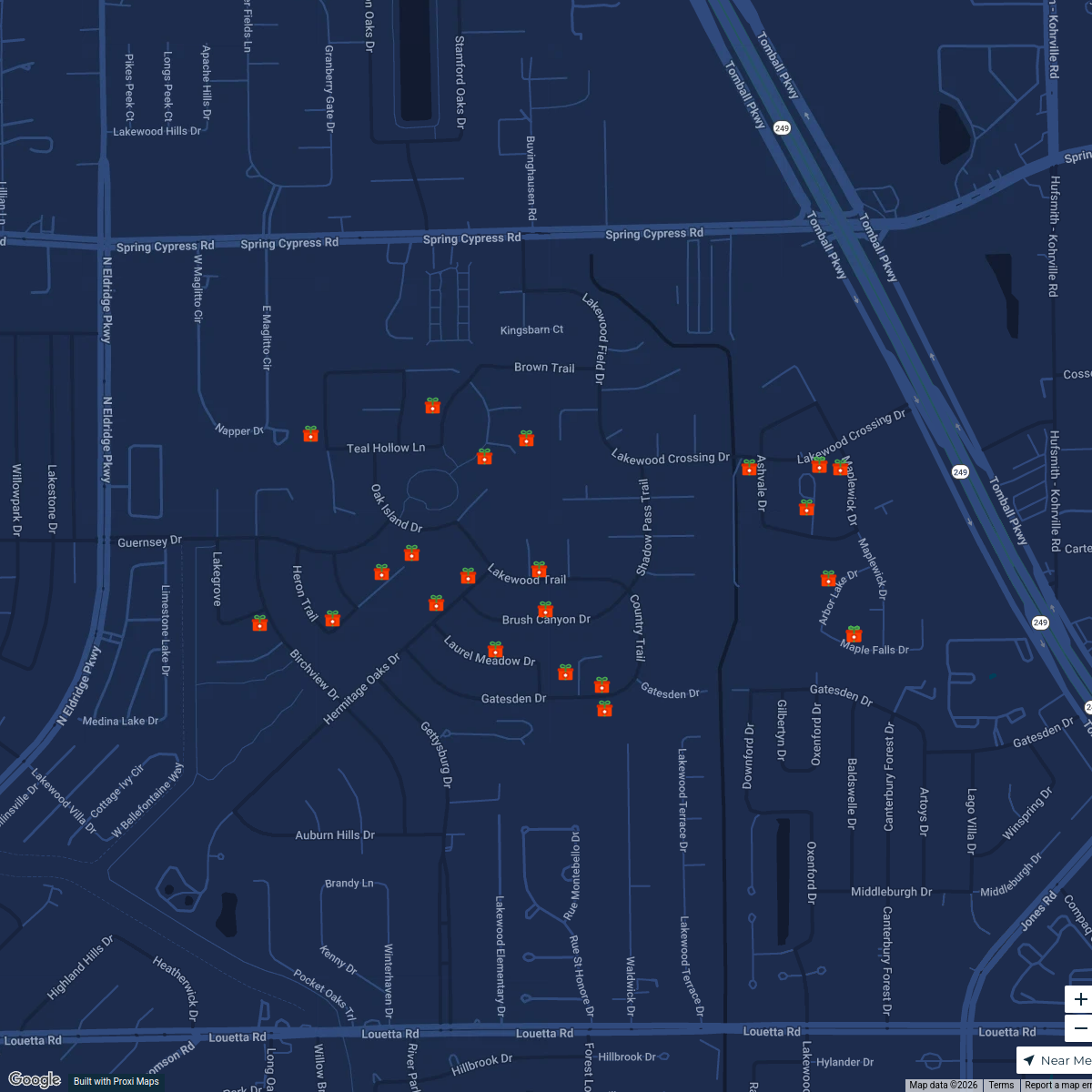
37 stopsThe Groves Lifestyle's WorkspaceLWG Holiday Lights Contest 2024
25 stops cindy's Workspace
Lazy River Water Parks in Texas
10 stopsChris Fluegge's Workspace

This map was made with Proxi
Have a main street, a market, or a story worth walking? Make your own map in a few minutes.