
Map · 9 places
GIS Guide to Mae Sai District
An interactive guide to key locations and geographical points of interest in Mae Sai District, Chiang Rai, Thailand, focusing on geographic information systems (GIS) and related facilities.
Made with ProxiUpdated Aug 2025
- Tourist Attractions 3
- Restaurants 2
- Transportation 2
- Government Offices 1
- Healthcare Facilities 1
Places on This Map
9 places · 5 groupsNearby Maps
Community Map
Gainesville International Schools in Chiang Rai
9 stops · Gainesville International School Chiangrai, 9V6H+VMC, Pong Pha, Mae Sai DistrictShared by the Proxi communityCommunity Map
Tachileik Location Map
15 stops · Tachileik, Myanmar (Burma)Shared by the Proxi communityCommunity Map
Exploring Chiang Mai
22 stops · Chiang Mai, Mueang Chiang Mai District, Chiang Mai, ThailandShared by the Proxi community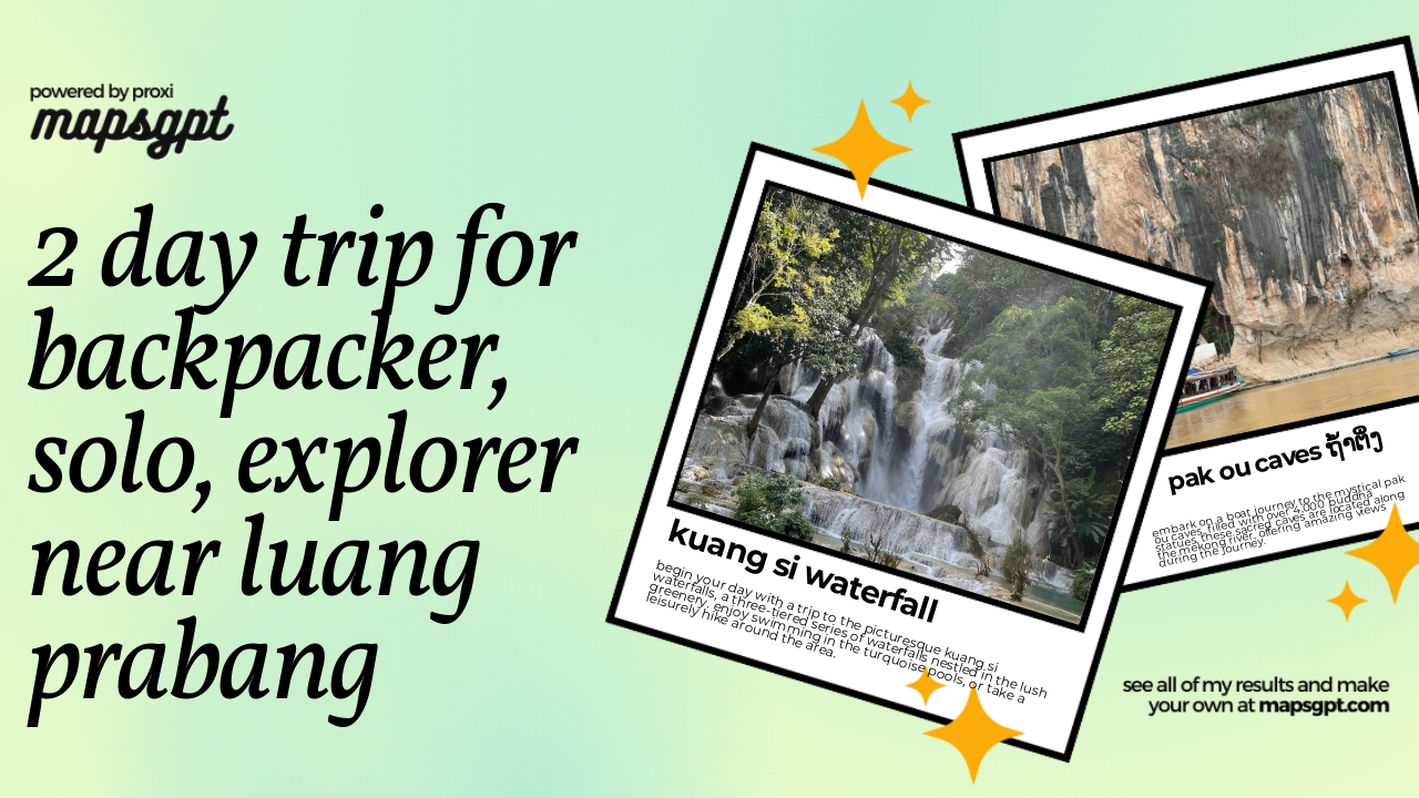 Community Map
2 day trip for backpacker, solo, explorer near Luang Prabang
8 stops · Luang Prabang, LaosShared by the Proxi communityCommunity Map
Myanmar Overview
12 stops · Myanmar (Burma)Shared by the Proxi communityCommunity Map
Conflict Zones in Myanmar
13 stops · Myanmar (Burma)Shared by the Proxi community
This map was made with Proxi
Have a main street, a market, or a story worth walking? Make your own map in a few minutes.