
Map · 9 places
Ethnolinguistic Partition of Afghanistan: Nuristani and Pashayi Regions
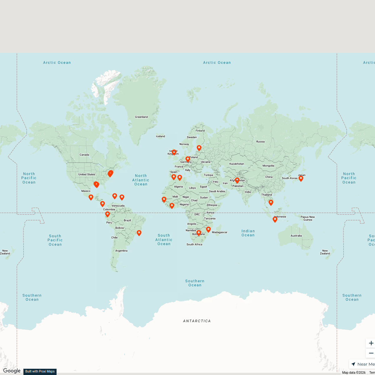
This map illustrates the ethnolinguistic distribution of Nuristani and Pashayi populations across Afghanistan, centering on Laghman, Nangarhar, Kunar, and Nuristan provinces. It delineates core areas where these groups are primarily located, highlighting significant valleys and districts, while also acknowledging areas with mixed or historical presence. The map offers a detailed view of the demography and linguistic identities of these populations.
Made with ProxiUpdated Aug 2025
- Ethnolinguistic Regions 3
- Historical Presence Areas 2
- Linguistics 2
- Culture 1
- Nuristani Areas 1
Places on This Map
9 places · 5 groupsNearby Maps
KB Global Missionaries - Europe
24 stops Ashleigh Dietrich's Workspace
Global Surgery Initiatives
50 stopsKatherine Albutt's WorkspaceCommunity Map
Historic Sites of India, Pakistan and Afghanistan
15 stops · AfghanistanShared by the Proxi communityCommunity Map
Afghanistan Overview Map
20 stops · Afghanistan, AfganistanShared by the Proxi communityCommunity Map
Island Adventures in South Asia
7 stops · AfghanistanShared by the Proxi communityCommunity Map
Provinces of Afghanistan
13 stops · AfghanistanShared by the Proxi community
This map was made with Proxi
Have a main street, a market, or a story worth walking? Make your own map in a few minutes.