
Map · 15 places
Community Map of Poblacion Dinas
A detailed map showcasing important community landmarks, facilities, and points of interest in Poblacion, Dinas, Zamboanga del Sur, Philippines. This map emphasizes local resources and community engagement.
Made with ProxiUpdated Aug 2025
- Government Offices 4
- Community Services 2
- Education 2
- Local Businesses 2
- Transportation 2
- Cultural Sites 1
- Health Facilities 1
- Parks and Recreation 1
Places on This Map
15 places · 8 groupsNearby Maps
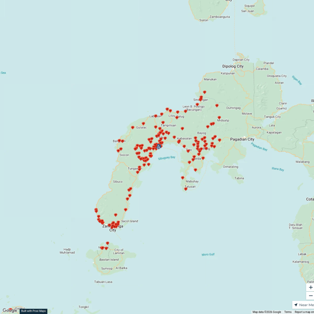
Zamboanga Peninsula Mission
155 stops Rufmer Sam Labag's Workspace
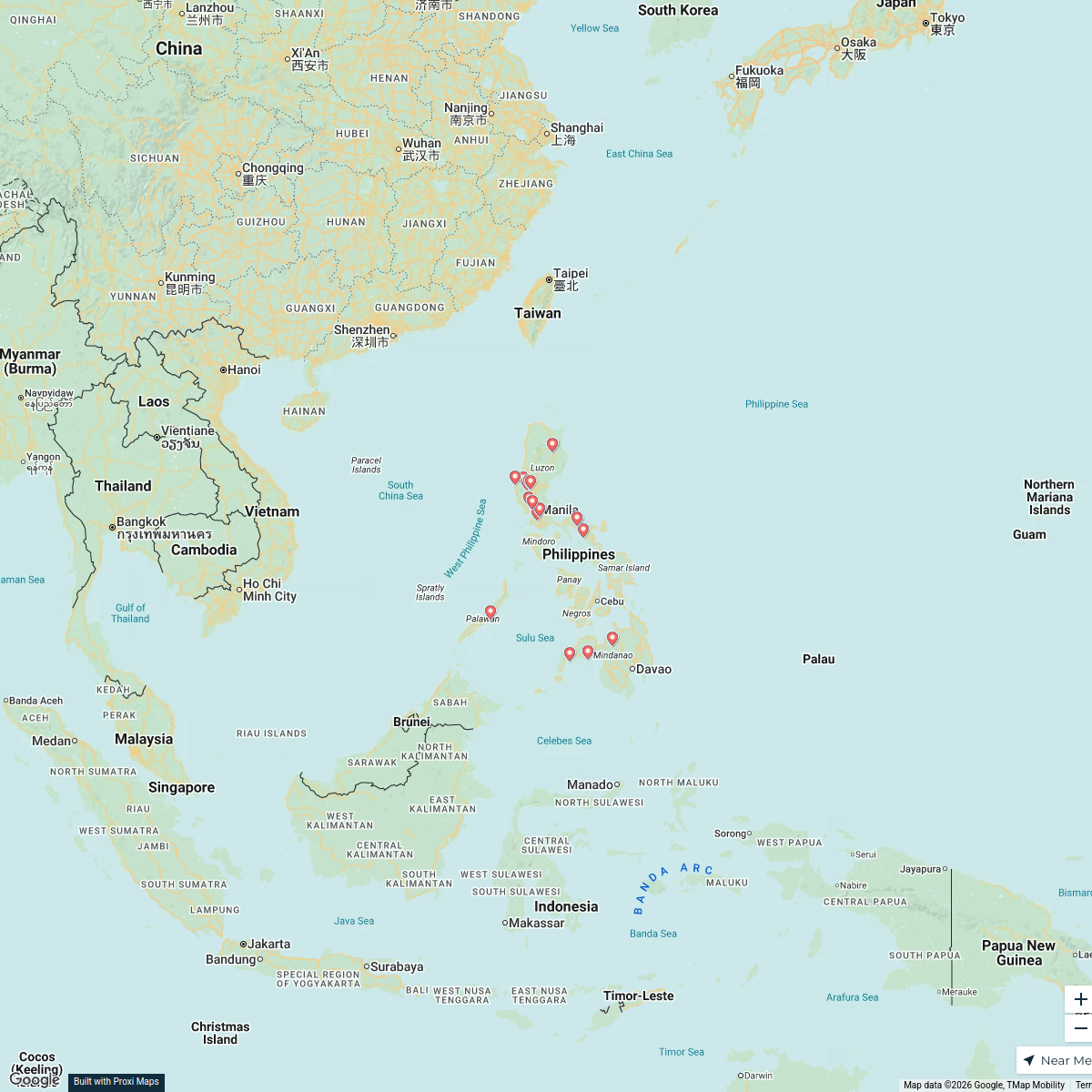
Philippines Overview Map
25 stops · Philippines micha work's Workspace
Community Map
Poblacion, Dinas Community Map
18 stops · Poblacion, Dinas, Zamboanga del Sur, PhilippinesShared by the Proxi communityCommunity Map
Poblacion Community Map
15 stopsShared by the Proxi communityCommunity Map
Baluno National High School Area Map
1 stopShared by the Proxi communityCommunity Map
Nearby Gems of Tubod
15 stops · Tubod, Zamboanga del Sur, PhilippinesShared by the Proxi community
This map was made with Proxi
Have a main street, a market, or a story worth walking? Make your own map in a few minutes.