
Map · 6 places
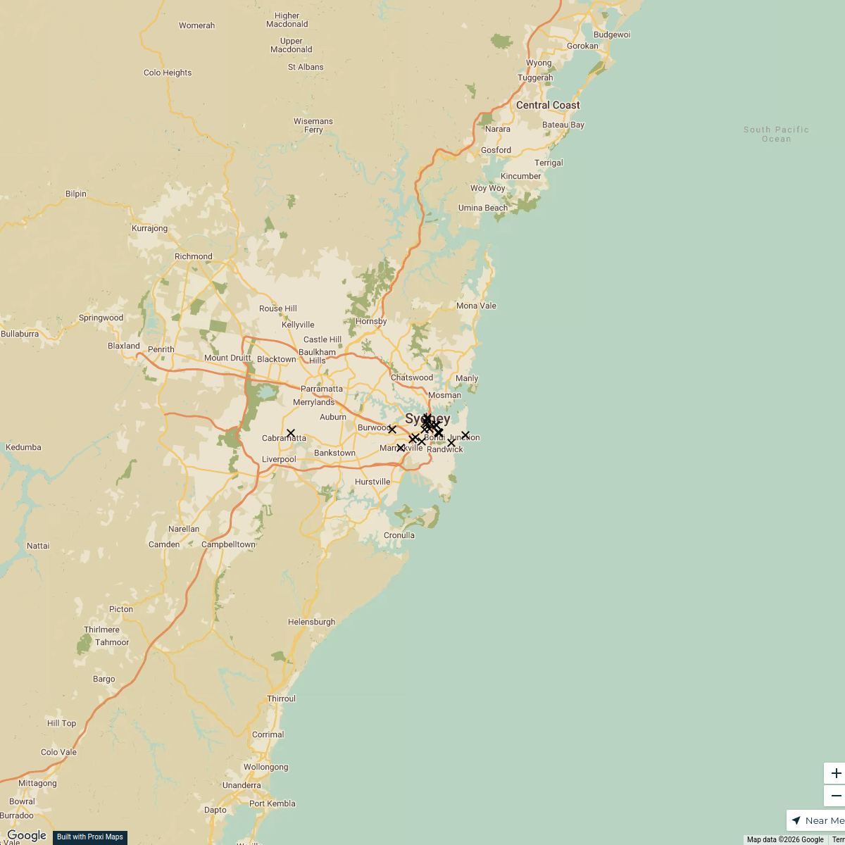
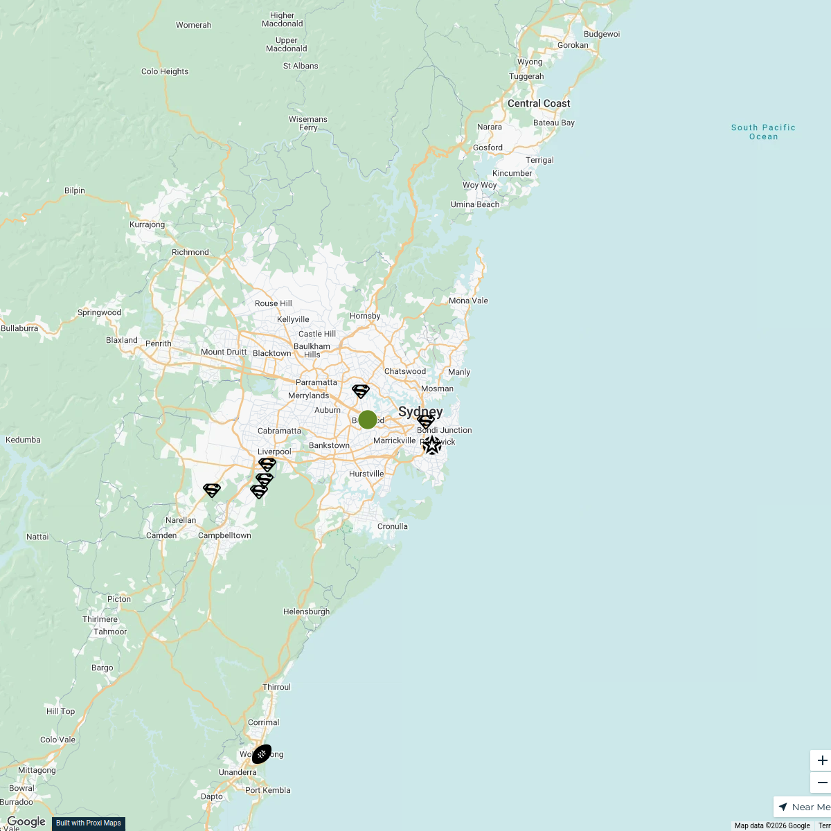
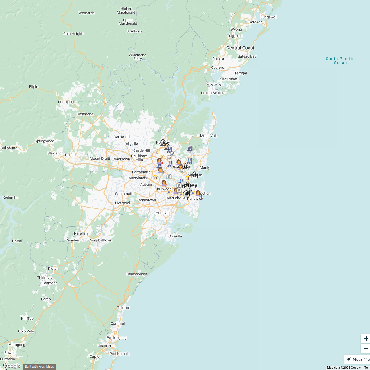
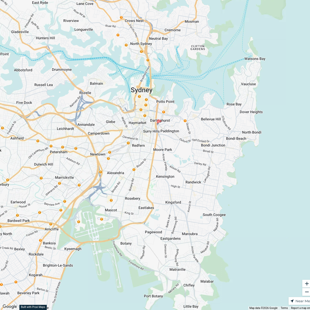
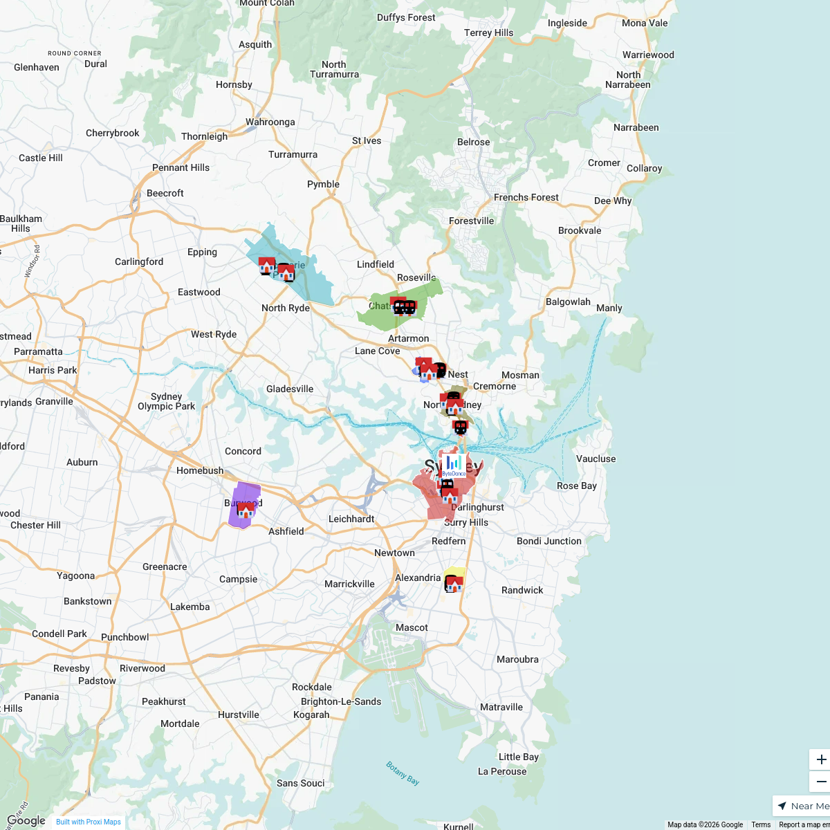
Sydney Infrastructure and Transport Map
A detailed map showcasing the infrastructure and transport systems of Sydney, NSW, Australia, including major roads, public transport routes, and key facilities.
Made with ProxiUpdated Aug 2025
- Infrastructure Projects 3
- Bus Stops 1
- Major Highways 1
- Train Stations 1
Places on This Map
6 places · 4 groupsNearby Maps
Sydney Restaurant Recommendations
23 stops · Sydney NSW, Australia Julie Niland's Workspace
Sydney Explorer
127 stops · Sydney NSW, Australiabhidetejas03's WorkspaceNanoplasty Treatment Sydney
34 stops · Sydney, Sydney NSW, Australiabethalmoore's WorkspaceHospitals in Sydney
2 stopsrachel's WorkspaceByteDance Properties in Sydney
68 stopsswing.goh's WorkspaceMap of Australia
9 stops · Australialmitar's Workspace
This map was made with Proxi
Have a main street, a market, or a story worth walking? Make your own map in a few minutes.