
Map · 9 places · Leander, TX
Liberty Hill County Map
A detailed map highlighting key areas, landmarks, and features around Liberty Hill, Texas, providing a comprehensive look at the county and its attractions.
Made with ProxiUpdated Aug 2025
- Parks 9
Places on This Map
9 places · 1 groupNearby Maps
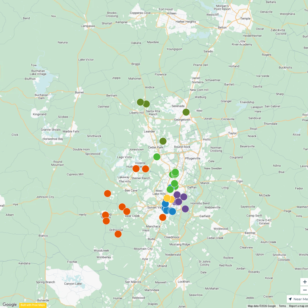
Austin Craft Beer
39 stops KT's Workspace
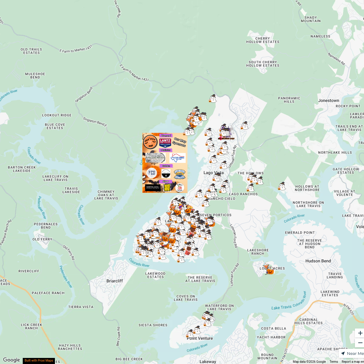
2025 Lago Vista Trick-or-Treat Map
187 stops Samantha Montag's Workspace
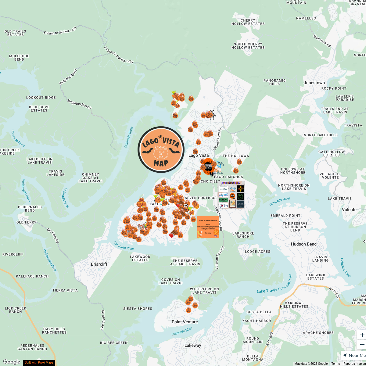
Lago Vista Trick or Treat Map
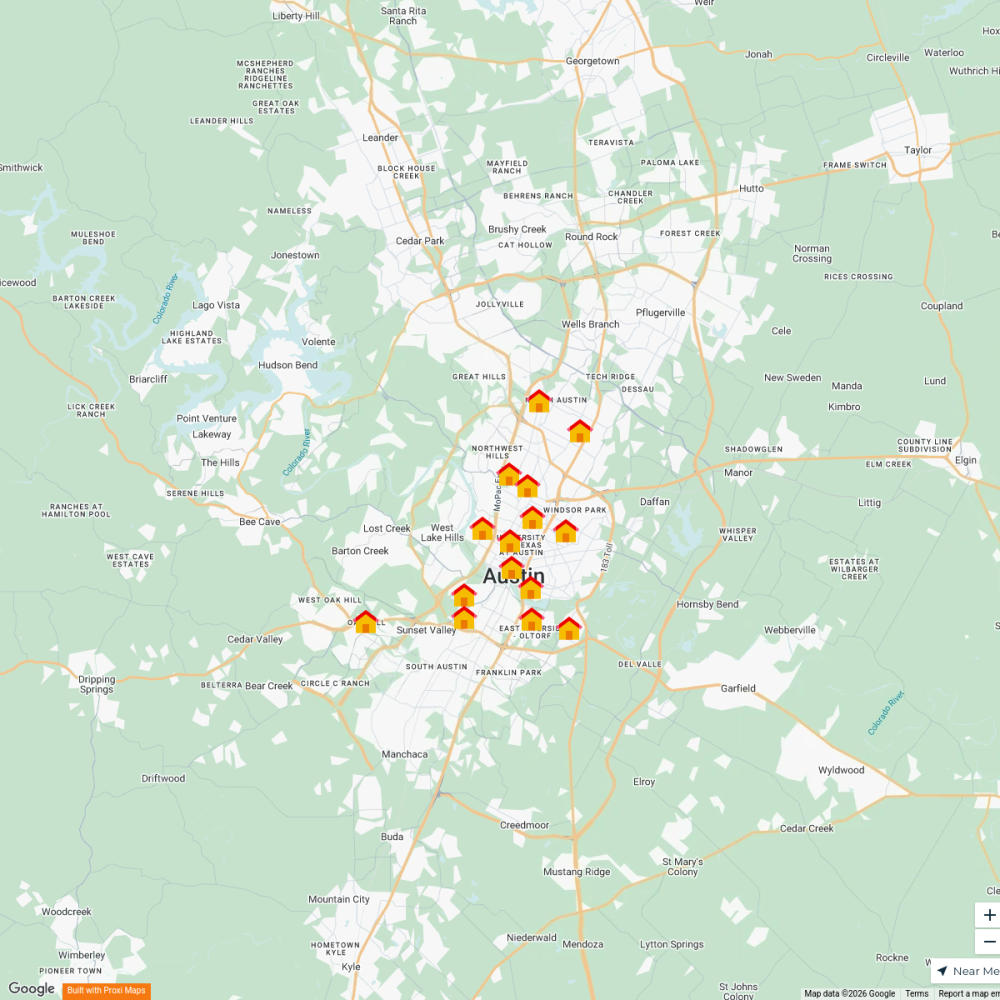
173 stopsSamantha Montag's WorkspaceRent by Neighborhood
15 stops ATX Today's Workspace
Where to Grab the Best Sandwich ATX
20 stops · Central Austin, Austin, TX, USA foodieatxbites's Workspace

Austin Dog Friendly Places
50 stopsKT's Workspace
This map was made with Proxi
Have a main street, a market, or a story worth walking? Make your own map in a few minutes.