
Map · 22 places
Temperature Distribution Map of Giza
This map illustrates the estimated temperature distribution across Giza, El Omraniya, based on temperature readings collected from five stations. Utilizing Inverse Distance Weighting (IDW) GIS techniques, the map displays predicted high temperatures of 33.5°C in lowland areas and low temperatures of 26.8°C in highland areas, showcasing the irregular spatial patterns of temperature variation across the region.
Made with ProxiUpdated Aug 2025
- Temperature Readings 7
- Environmental Studies 6
- Geospatial Analysis 5
- Climate Modeling 2
- Weather Patterns 2
Places on This Map
22 places · 5 groupsNearby Maps
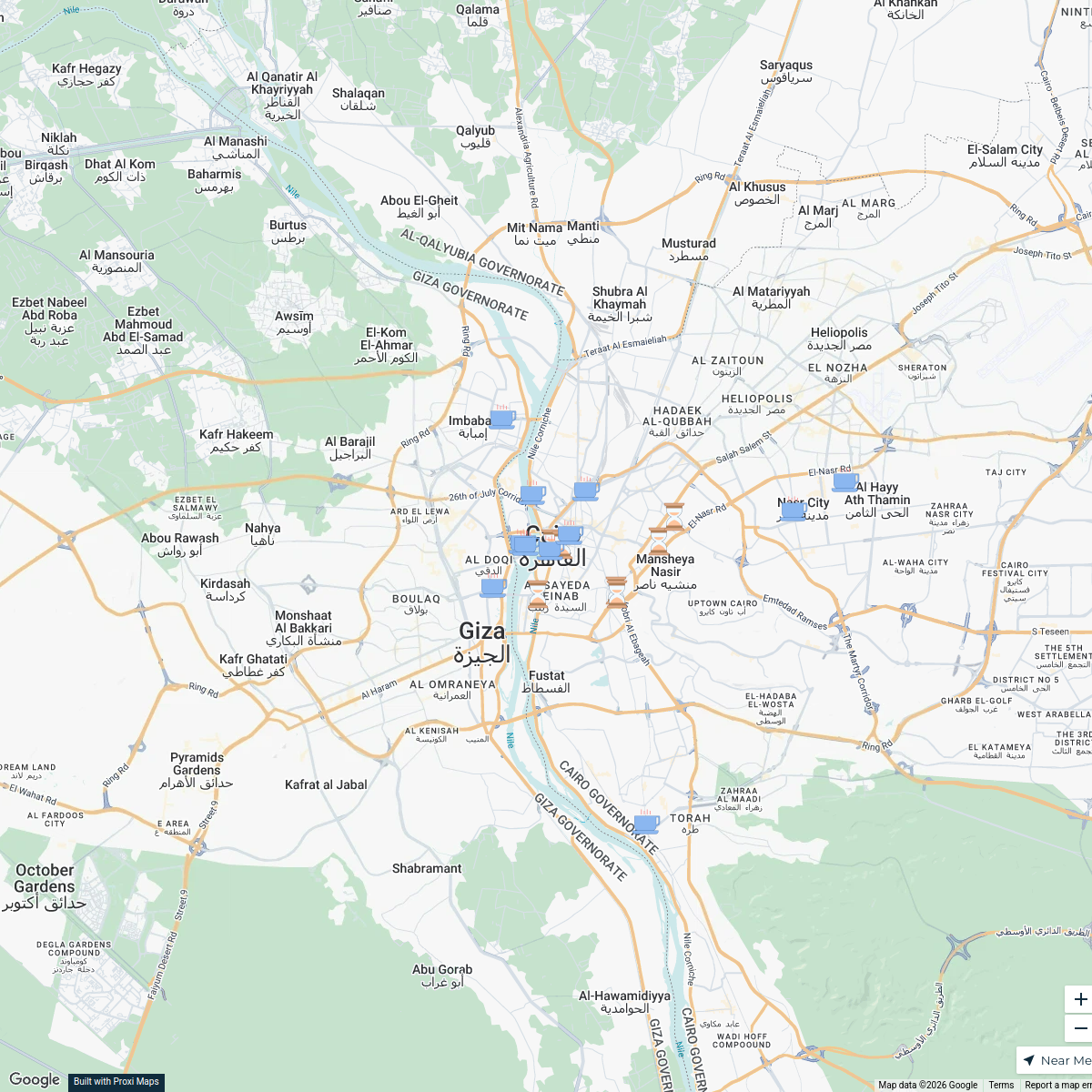
Cairo Points of Interest
20 stops · Cairo, Cairo Governorate, Egypt Abdelmaged Mohamed's Workspace
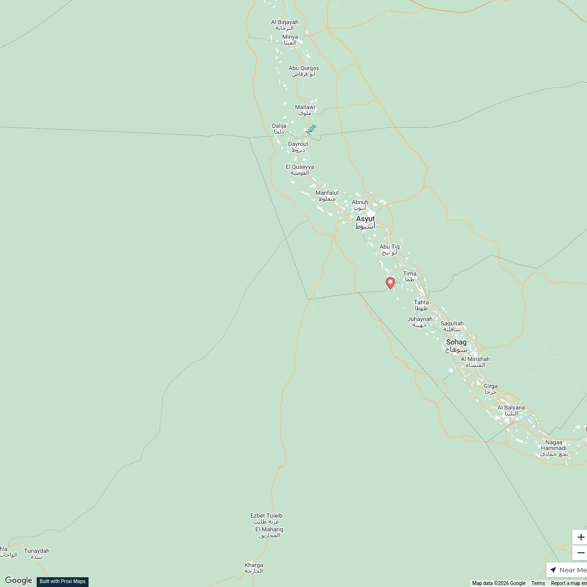
List of cities and towns in Egypt - Wikipedia
12 stops · EgyptAbdelmaged Mohamed's WorkspacePADEL
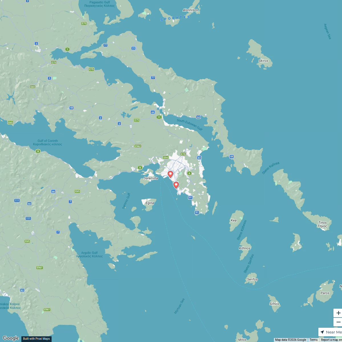
6 stops · Athens, GreeceAbdelmaged Mohamed's WorkspaceALF Networks Thematic Priorities
115 stops mohammed.hafez's Workspace
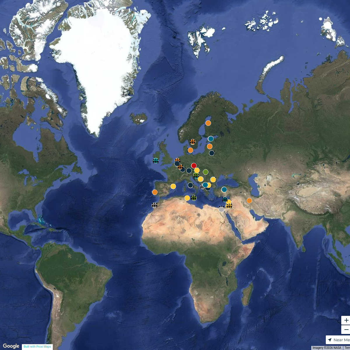
Pin Your Heart
425 stops · Europe Voluson Performance
Seek Discomfort Adventure Map
974 stops Seek Discomfort's Adventure Map

This map was made with Proxi
Have a main street, a market, or a story worth walking? Make your own map in a few minutes.