
Map · 15 places
Aguinaldo Highway - Tagaytay Route
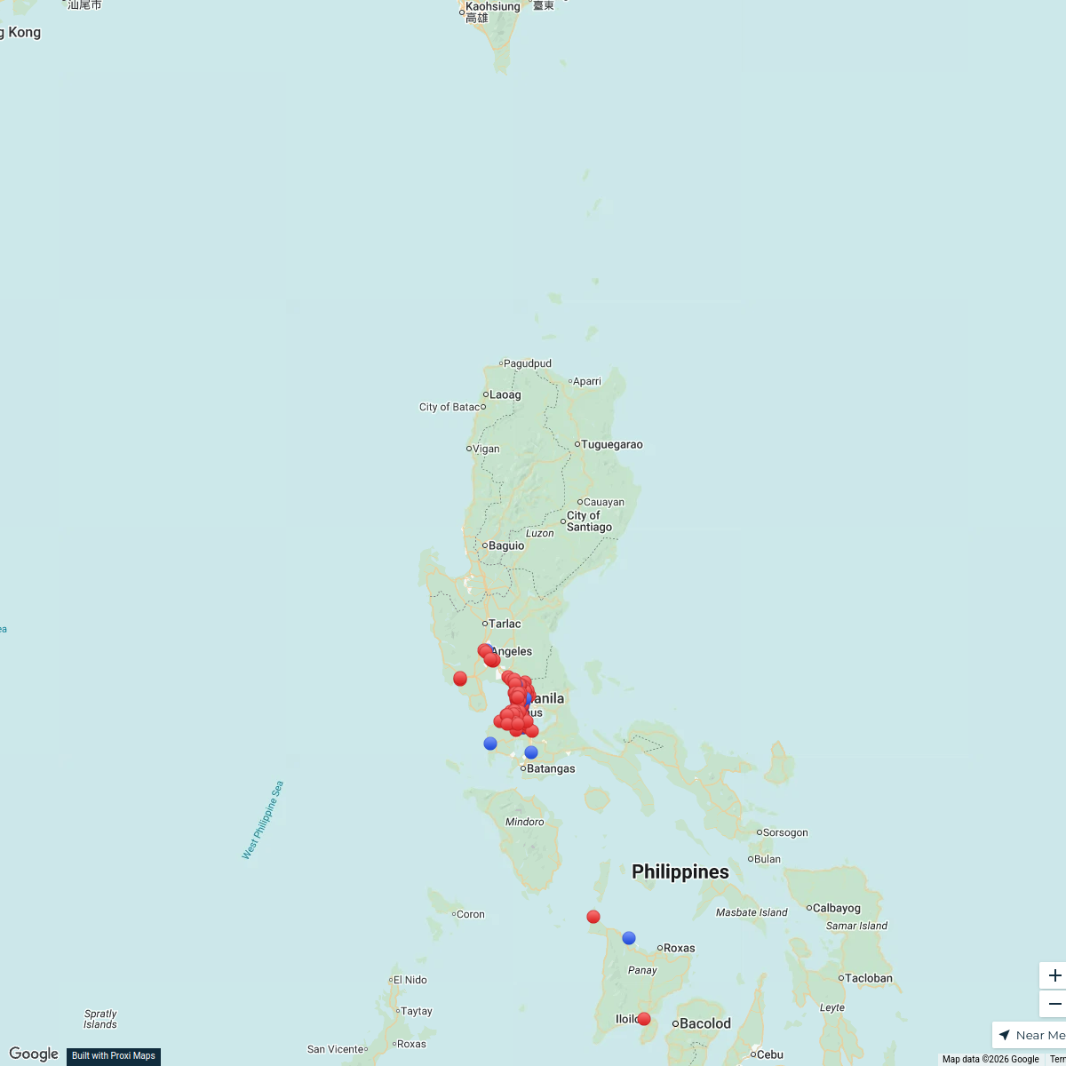
A detailed map featuring major landmarks and commercial areas along Aguinaldo Highway leading to Tagaytay.
Made with ProxiUpdated Aug 2025
- City 3
- Landmark 2
- Road 2
- Shopping Mall 2
- Amusement Park 1
- Commercial Area 1
- Highway 1
- Municipality 1
- Residential 1
- Urban Development 1
Places on This Map
15 places · 10 groupsNearby Maps
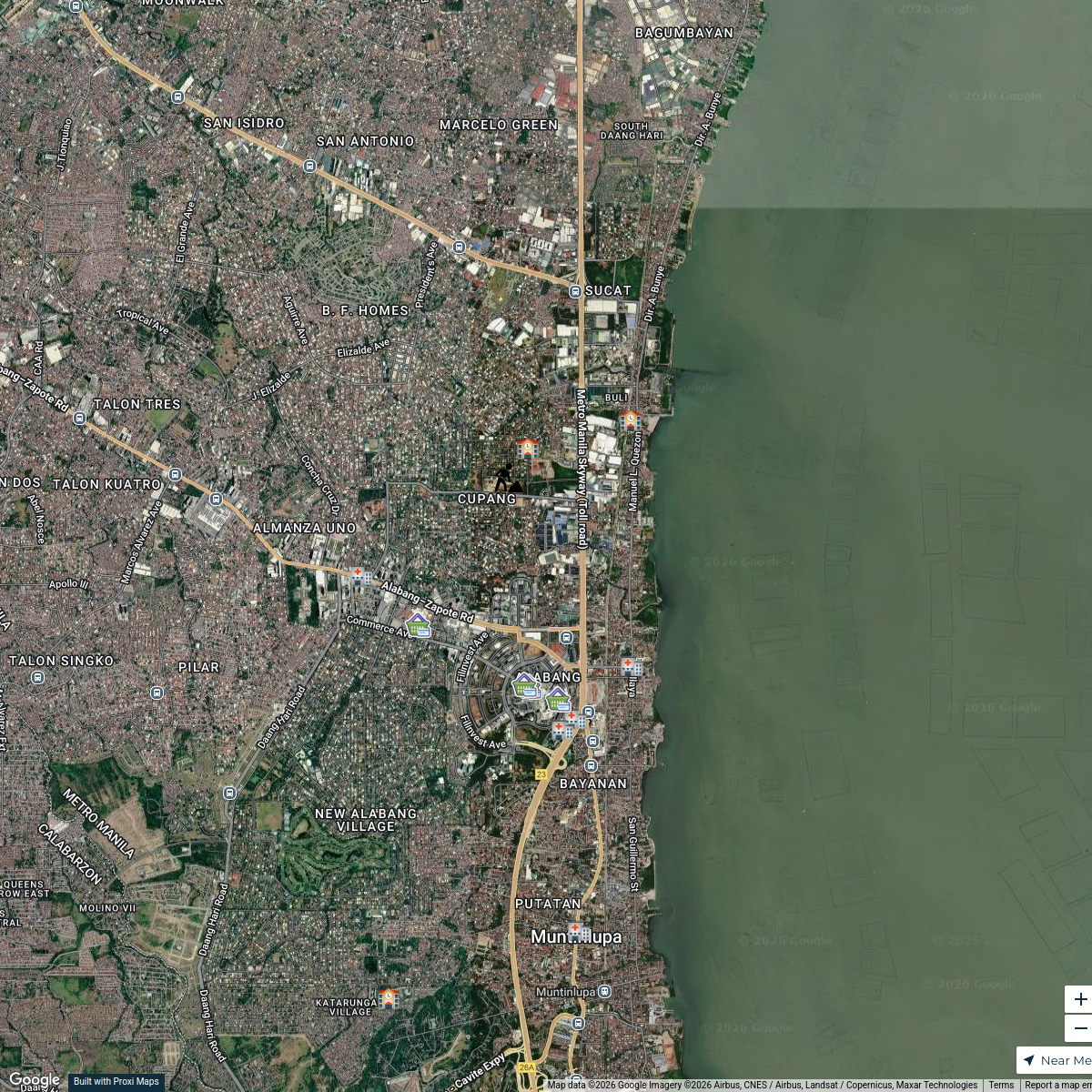
Muntinlupa Poblacion Map
14 stops spectre's Workspace
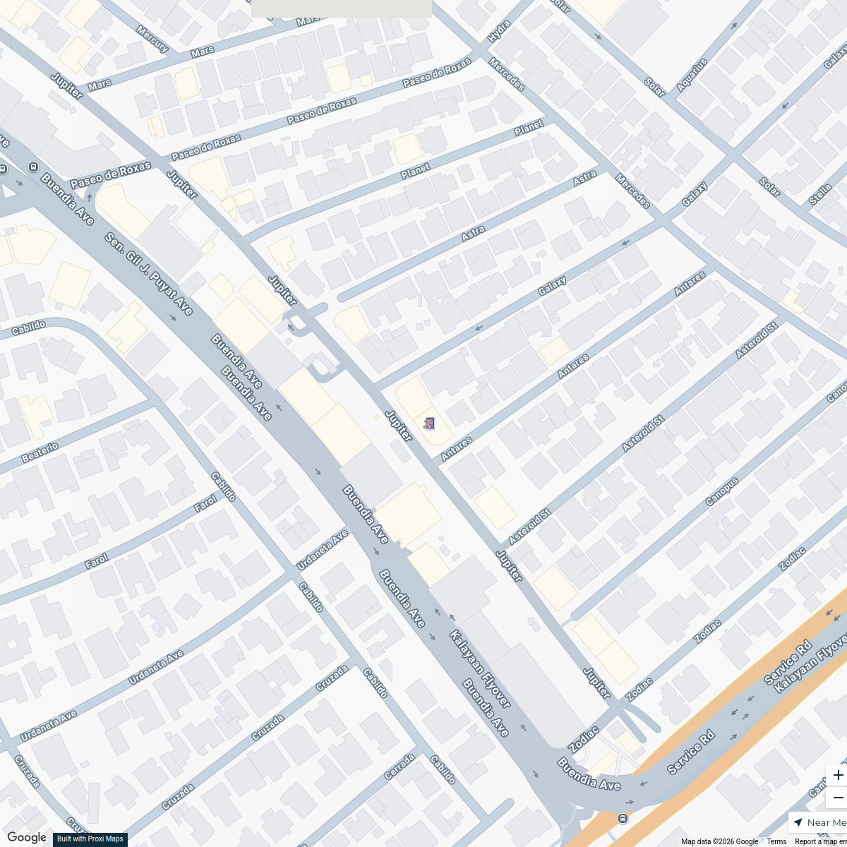
FilmPabrika Earthquake Evacuation Sites
8 stops · Film Pabrika, 20 Jupiter, Makati City, 1209 Metro Manila, Philippines Patricia Ramos's Workspace
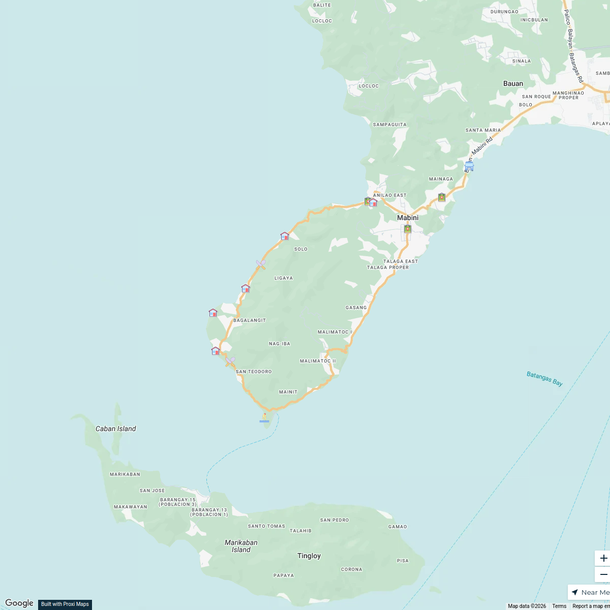
Mabini, Batangas Exploration Map
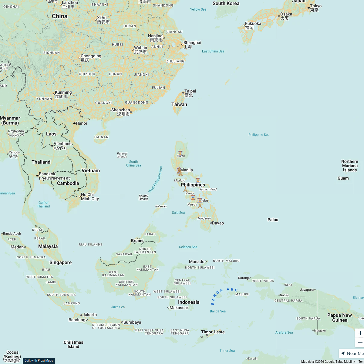
16 stops · Mabini, Batangas, PhilippinesSir Tim's WorkspaceExploring the Philippines
18 stops · PhilippinesKaliyah Williams's WorkspaceShakey's Company Store Locations
138 stops · Luzon, Philippineshthidalgo's WorkspaceOrphanage Ministry
106 stopsBob Hansen's Workspace
This map was made with Proxi
Have a main street, a market, or a story worth walking? Make your own map in a few minutes.