
Map · 9 places
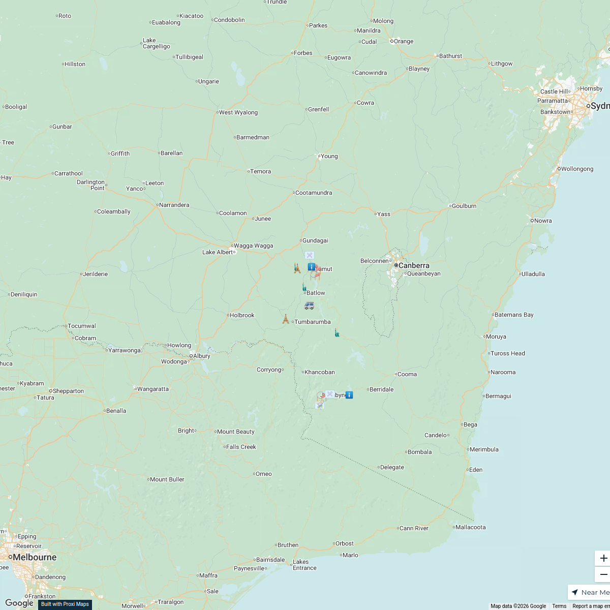
Yarrangobilly Area Map
A detailed map showcasing the scenic and natural attractions of the Yarrangobilly region in NSW, Australia, highlighting key locations such as hot springs and hiking trails.
Made with ProxiUpdated Aug 2025
- Hot Springs 6
- Hiking Trails 2
- Camping Sites 1
Places on This Map
9 places · 3 groupsNearby Maps
Towns of the Snowy Valleys
19 stops · Snowy Valleys Council, NSW, Australia vic's Workspace
Community Map
Real Estate in Australian Capital Territory
23 stops · Australian Capital Territory, AustraliaShared by the Proxi communityCommunity Map
Potato Farms Map
16 stopsShared by the Proxi communityCommunity Map
Victoria Hydroelectric Plants
18 stops · AustraliaShared by the Proxi communityCommunity Map
Australian National Parks
8 stopsShared by the Proxi community
This map was made with Proxi
Have a main street, a market, or a story worth walking? Make your own map in a few minutes.