
Map · 15 places
South Island of New Zealand
An outline map displaying Ngāi Tahu's traditional takiwā alongside Canterbury Province boundaries, centered around Castle Hill.
Made with ProxiUpdated Aug 2025
- Natural Site 4
- Hiking Trail 3
- Adventure Activity 2
- Cultural Site 2
- Recreational Site 2
- Agricultural Site 1
- Historical Site 1
Places on This Map
15 places · 7 groupsNearby Maps
Seek Discomfort Adventure Map
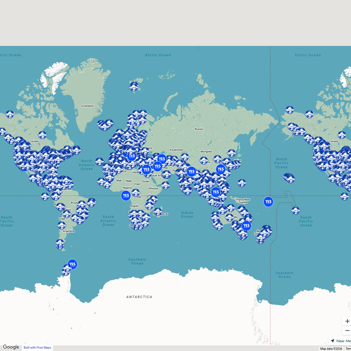
974 stops Seek Discomfort's Adventure Map
Community Map
South Island with Ngāi Tahu Takiwā
4 stops · Castle Hill / Kura Tawhiti Conservation Area West Coast Road, Castle Hill 7580,Shared by the Proxi communityCommunity Map
The Hits Canterbury Christmas Light
146 stops · Christchurch, New ZealandShared by the Proxi communityCommunity Map
Sydney Highlights Map
13 stopsShared by the Proxi communityCommunity Map
South Island Explorer
42 stops · Te Waipounamu / South Island, New ZealandShared by the Proxi communityCommunity Map
South Island Exploration
16 stops · Te Waipounamu / South Island, New ZealandShared by the Proxi community
This map was made with Proxi
Have a main street, a market, or a story worth walking? Make your own map in a few minutes.