
Map · 19 places · Flint, MI
Flint Mainstreet
A detailed map focusing on the Mainstreet area of Flint, MI, showcasing local businesses, parks, landmarks, and community features.
Made with ProxiUpdated Aug 2025
- Entertainment Venues 4
- Parks 4
- Community Centers 3
- Restaurants 3
- Shops 3
- Landmarks 2
Places on This Map
19 places · 6 groupsNearby Maps
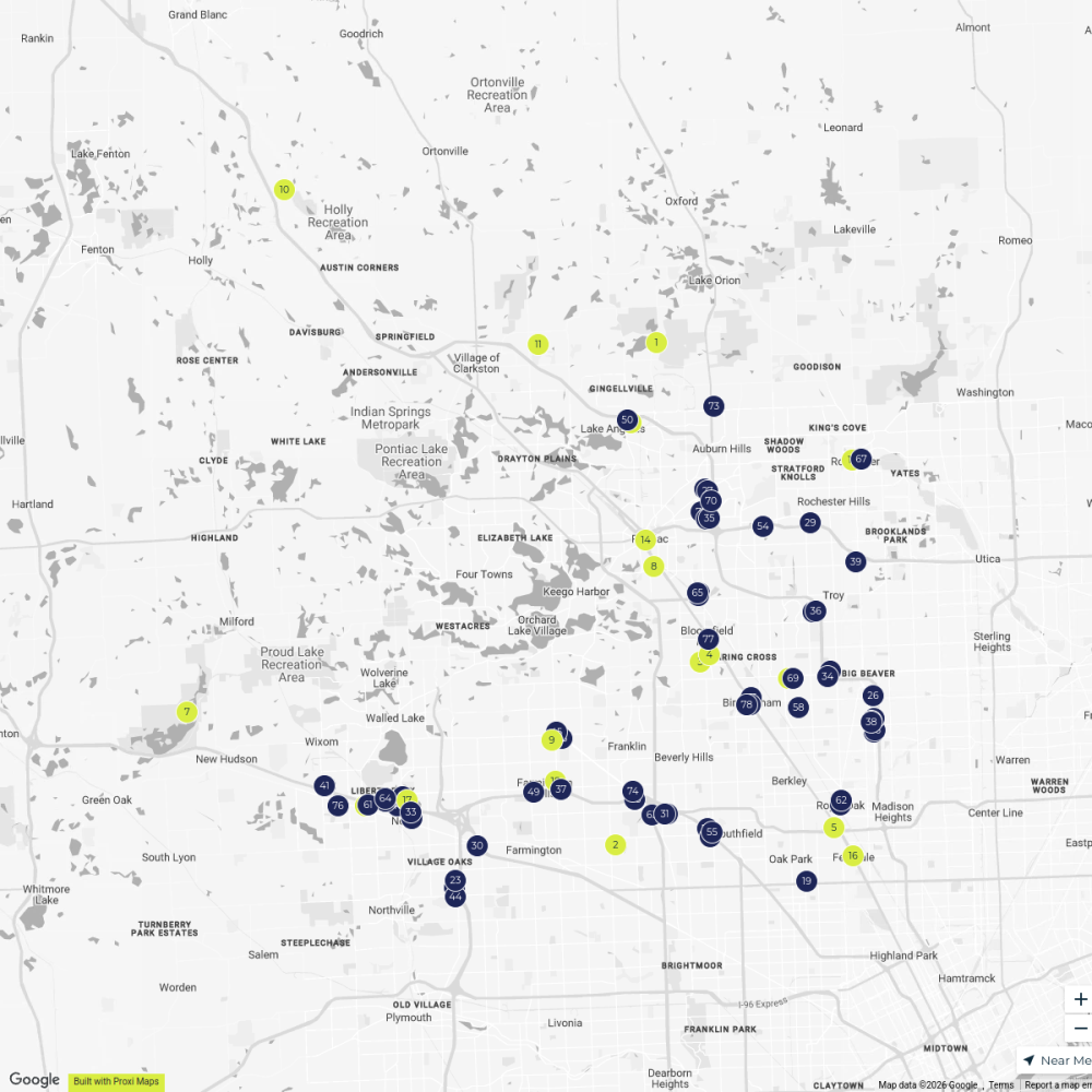
Oakland County
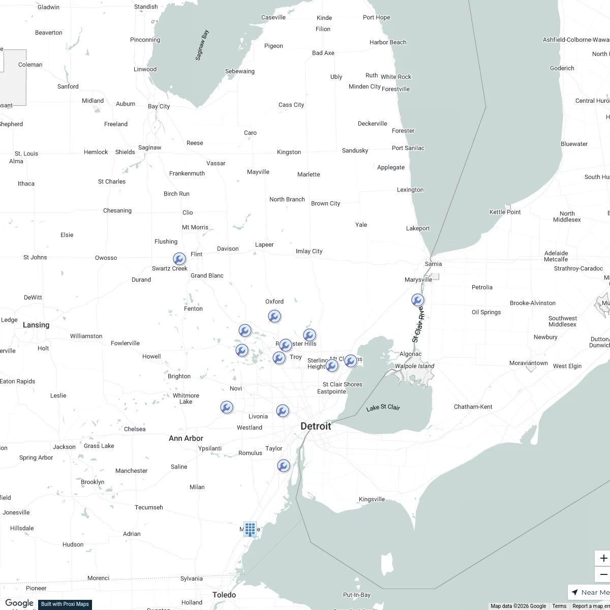
80 stopsVisit DetroitMetro Detroit Job Disbursment
14 stops · Michigan, USA Robert Lowes's Workspace
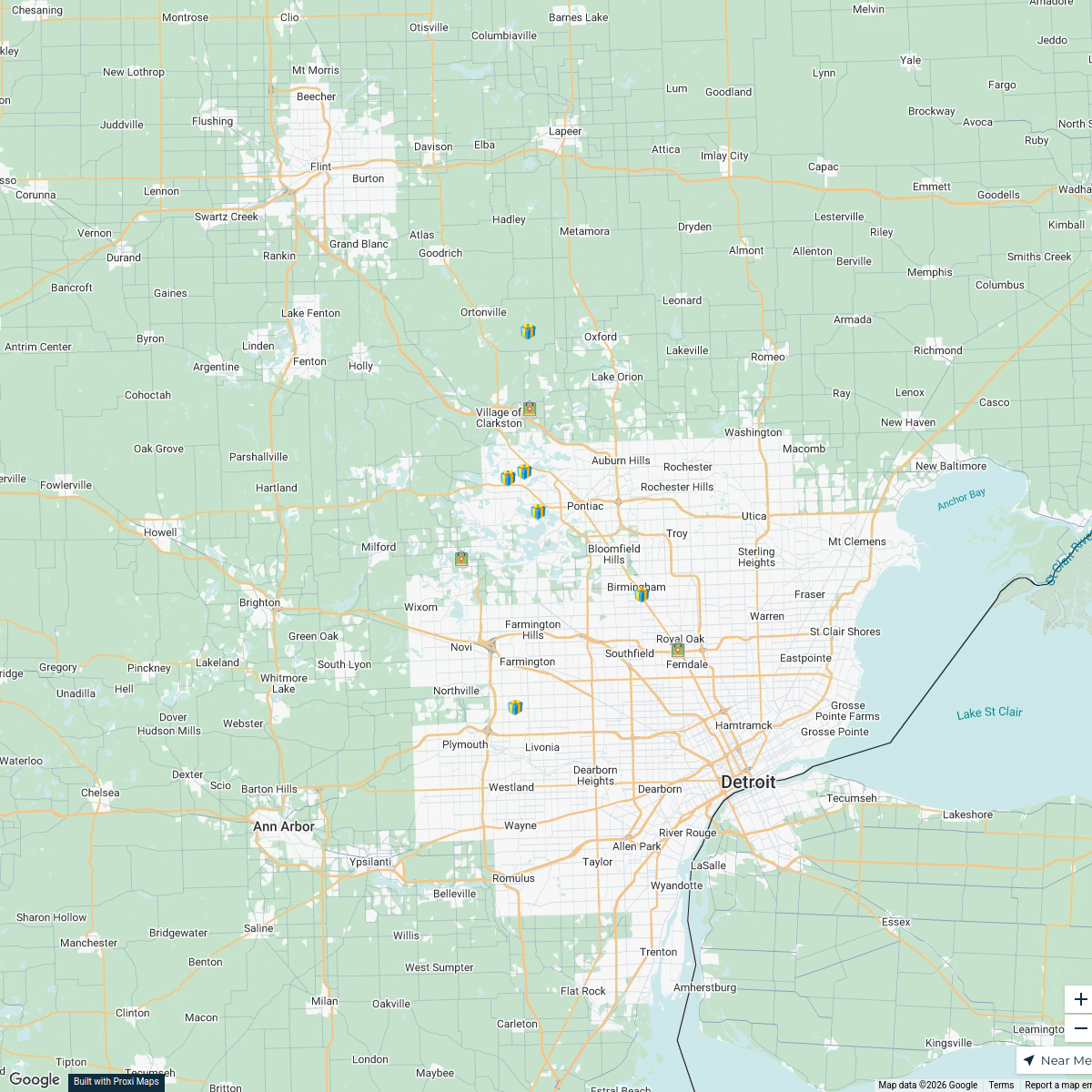
Christmas Lights Tour - Oakland County, MI
11 stops · Oakland County, MI, USA Kristina Khalifeh's Workspace
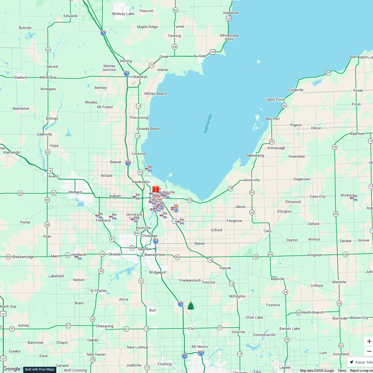
Great Lakes Bay Holiday Lights 2025
43 stopsAmber Tilley's WorkspaceDetroit Area Fall + Spooky Season
137 stops · Detroit, MI, USALauren Lopp's WorkspaceBeer Finder
236 stops · 506 Oakland Avenue Southwest, Grand Rapids, MI, USAchristopher@brewerynyx.com · @christopher@brewerynyx.com


This map was made with Proxi
Have a main street, a market, or a story worth walking? Make your own map in a few minutes.