
Map · 10 places
Maharashtra Districts Map
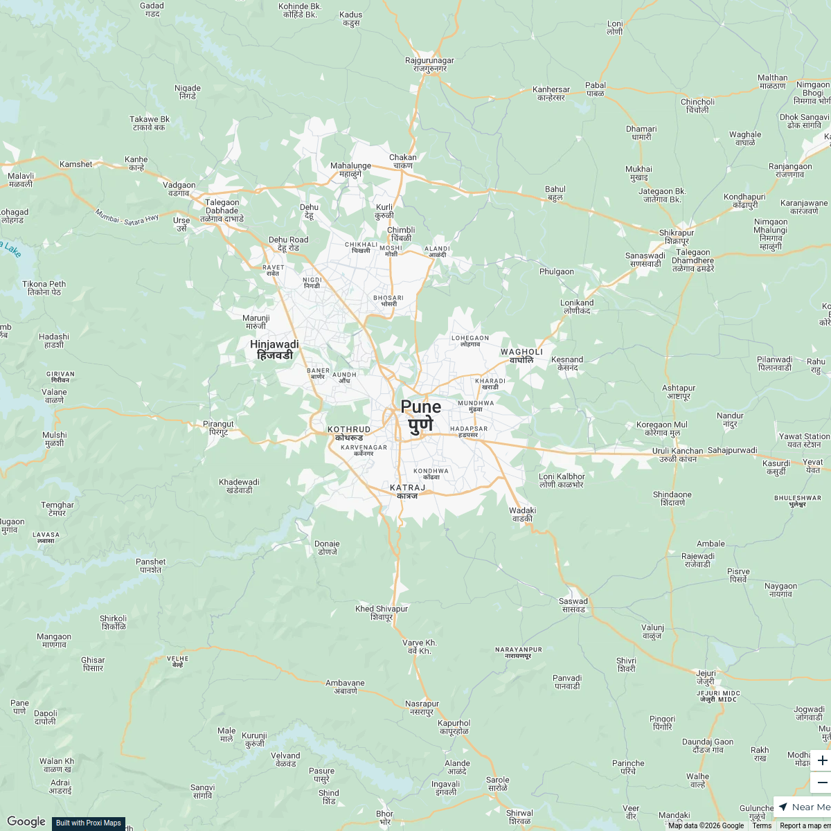
A detailed map of Maharashtra with Panvel as the epicenter, showcasing directions to key districts: Raigad, Nashik, Pune, Kolhapur, Jalgaon, Shirdi, Ratnagiri, and Satara. Perfect for navigation and exploration of the region!
Made with ProxiUpdated Jul 2025
- Raigad, Nashik, Pune, Kolhapur, Jalgaon, Shirdi, Ratnagiri and Satara districts 5
- Aurangabad 2
- Ahmednagar 1
- Jharkhand 1
- Palghar 1
Places on This Map
10 places · 5 groupsNearby Maps
Ghat Areas of Pune
4 stops · Pune, Maharashtra, India Saiprakash Belsare's Workspace
Pune Trade Routes Map
1 stop · Pune, Maharashtra, IndiaSaiprakash Belsare's WorkspaceAsian Rivers Map
9 stops · Asiahamza.mahmood2's WorkspaceNew Joiners’ Homes, Hops & Horizons
58 stops · USA, United States asianpaintsppglinkedin's Workspace
Community Map
Regency Avana Connectivity Map
11 stopsShared by the Proxi communityCommunity Map
Shops in Murbad
1 stopShared by the Proxi community

This map was made with Proxi
Have a main street, a market, or a story worth walking? Make your own map in a few minutes.