
Map · 6 places
North Carolina Congressional Districts Gerrymander
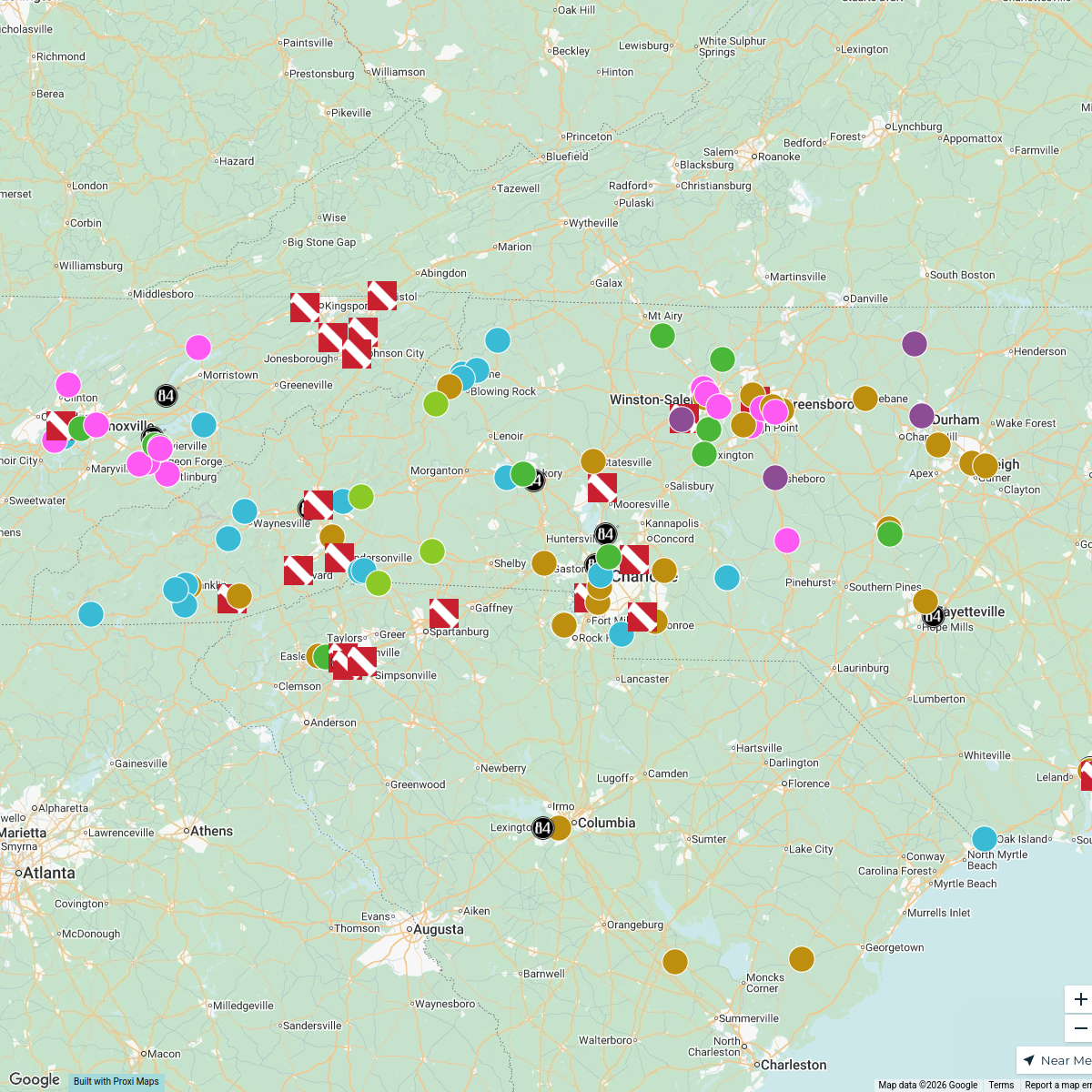
A detailed map illustrating the Republican gerrymander of North Carolina, showcasing the irregularities and boundaries of congressional districts manipulated for political advantage. This map provides a visual representation of district shapes and demographics within the state.
Made with ProxiUpdated Jul 2025
- Congressional Districts 4
- Political Geography 1
- State Politics 1
Places on This Map
6 places · 3 groupsNearby Maps
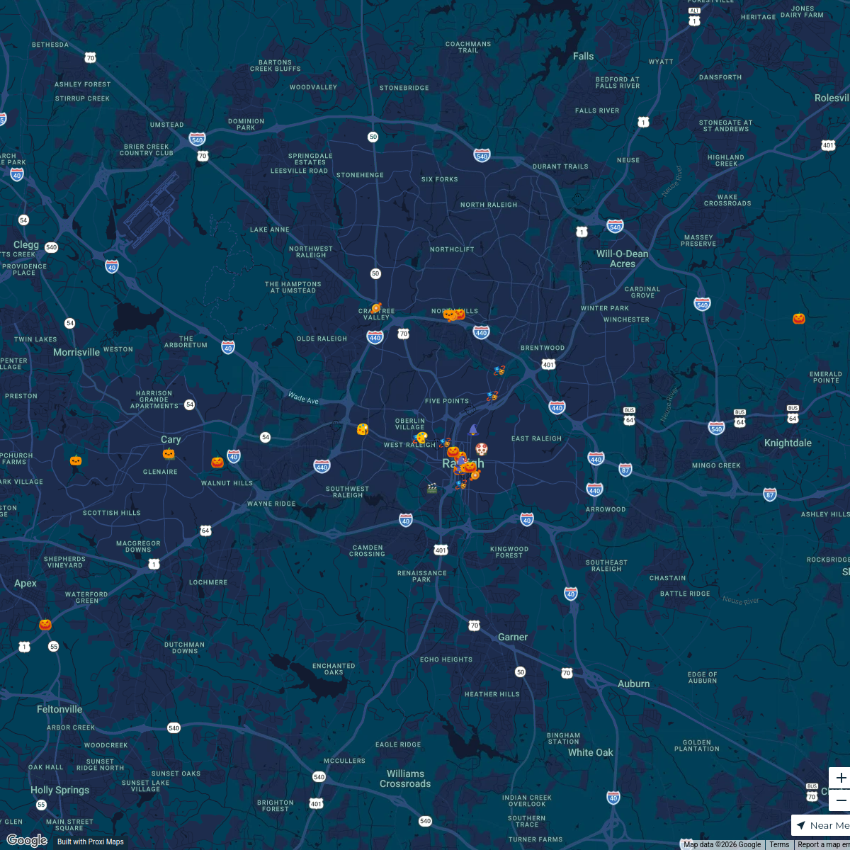
Raleigh Halloween Events 2024
40 stops RAL Today's Workspace
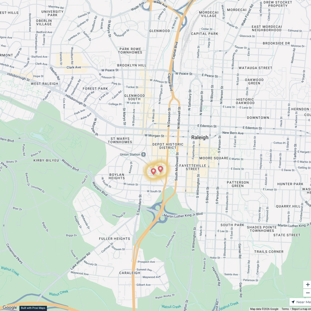
My Proxi Map
2 stops · Warehouse District, Raleigh, NC, USA RALtoday
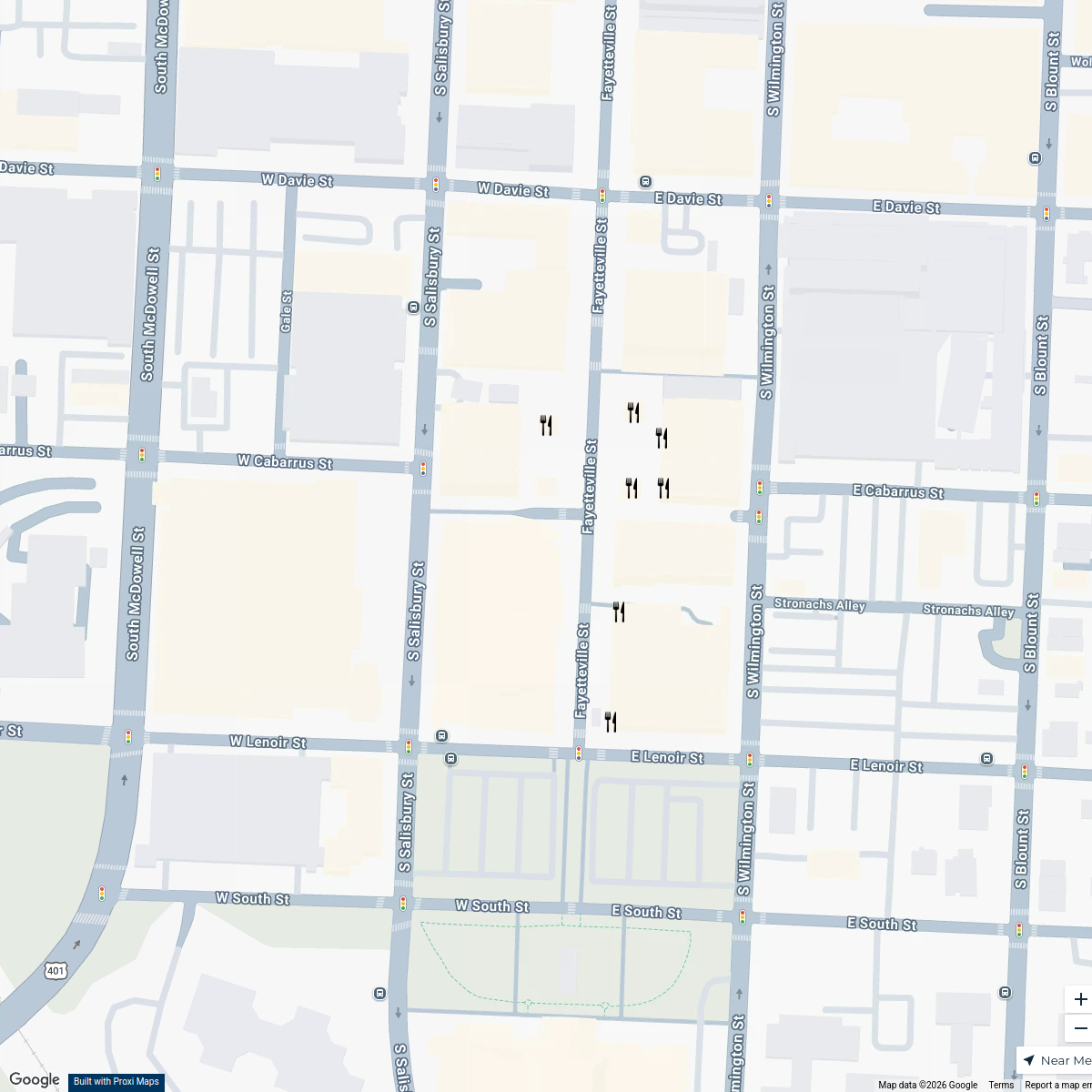
Dining Options | Downtown Raleigh
7 stops Highwoods Properties
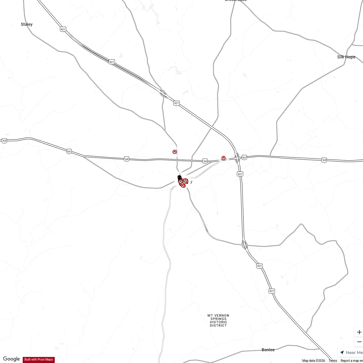
Downtown Siler City
58 stops · Siler City, NC 27344, USA Siler City
Timber Frame Companies in North Carolina
150 stops gwalker's Workspace
Myrtle Beach, SC - Livability.com
154 stops Livability
This map was made with Proxi
Have a main street, a market, or a story worth walking? Make your own map in a few minutes.