
Map · 19 places · Mililani Town, HI
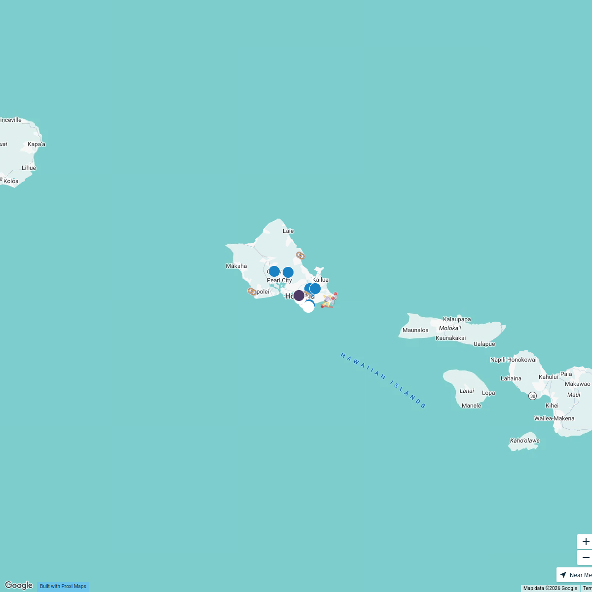
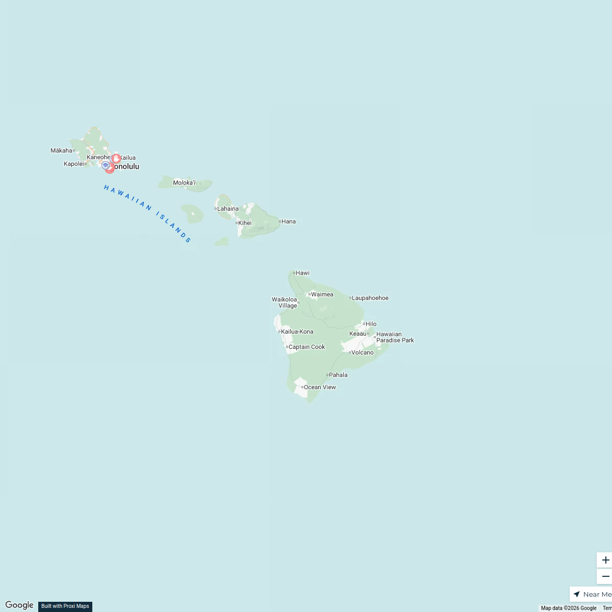
Oahu Flood Risk Map
This map provides a detailed overview of flood-prone areas in Oahu, Hawaii, highlighting regions that are at risk during heavy rainfall and storm surges. It is designed to assist residents and visitors in understanding flood zones, preparing for potential flooding events, and making informed decisions about safety and property.
Made with ProxiUpdated Jul 2025
- Flood Zones 9
- Emergency Preparedness 7
- Mapping and Geography 1
- Natural Hazards 1
- Safety Resources 1
Places on This Map
19 places · 5 groupsNearby Maps
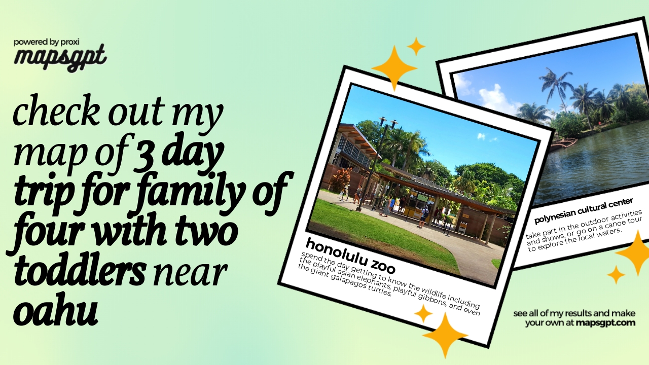
3 day trip for family of four with two toddlers near Oahu
8 stops · O‘ahu, Hawaii, USA Chelsey's Proxi Workspace
Max And Devna's Favortite Spots
27 stops Maxwell Cash's Workspace
Wedding Guide
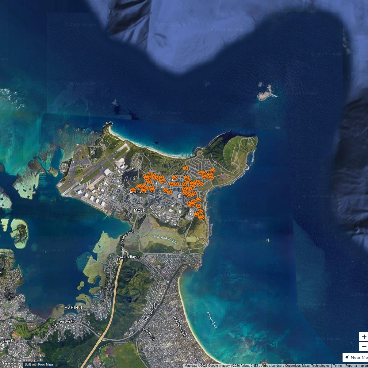
30 stops · Honolulu, HI, USAMaxwell Cash's WorkspaceMCBH Community Trick or Treat Map
84 stops rckh19's Workspace
Home Care Services in ‘Āina Haina
6 stops · ‘Āina Haina, Honolulu, HI 96821, USA Jacque Maldonado's Workspace
Private Schools in Hawaii
7 stops · Hawaii, USANyah Telfort's Workspace
This map was made with Proxi
Have a main street, a market, or a story worth walking? Make your own map in a few minutes.