
Map · 15 places
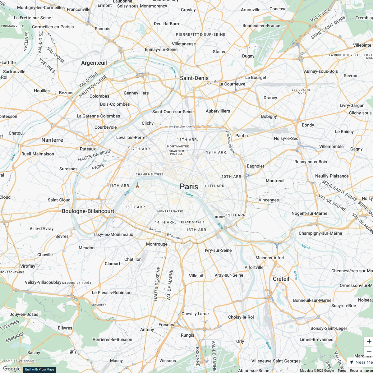
Paris Transportation Map
A map showing transport connectivity around the Eiffel Tower with various clusters indicating speed of movement.
Made with ProxiUpdated Jul 2025
- Park 5
- Museum 3
- Street 2
- Landmark 1
- Market Street 1
- Natural Feature 1
- Observation Point 1
- Square 1
Places on This Map
15 places · 8 groupsNearby Maps
Anime Stores in Paris
18 stops · Paris, France nafisaislam's Workspace
Halal Food in Paris
4 stops · Paris, Francenafisaislam's WorkspaceThrift Stores in Paris
5 stops · Paris, France aquaria's Workspace
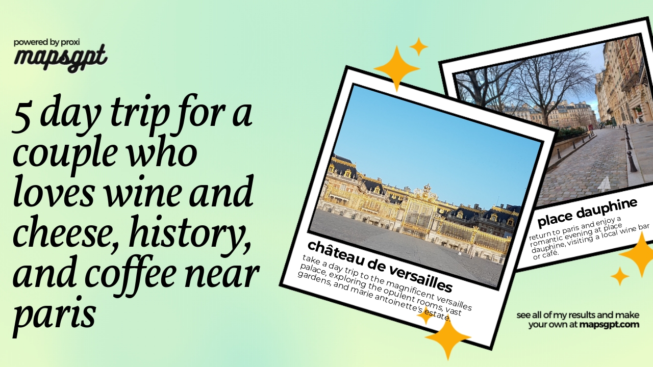
5 day trip for a couple who loves wine and cheese, history, and coffee near Paris
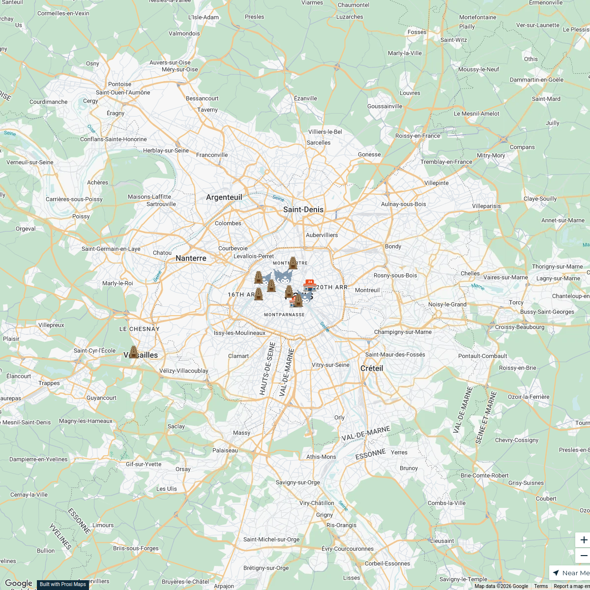
16 stops · Paris, France KT's Workspace
Koalas Travels 🐨
150 stops · FranceJulissa C Ramirez's WorkspaceTrials Clubs & Enduro Parks
179 stops David Lemereis's Workspace


This map was made with Proxi
Have a main street, a market, or a story worth walking? Make your own map in a few minutes.