
Map · 20 places
Fatehpur Commercial and Lodging Map
A detailed layout of a multi-storey building in Fatehpur, Uttar Pradesh featuring a confectionery shop on the ground floor, a restaurant area on the first floor, and lodging rooms on the second floor. Ideal for locals and visitors to locate various services under one roof.
Made with ProxiUpdated Jul 2025
- Restaurants 5
- Confectionery Shops 4
- Lodging 4
- Tourist Attractions 4
- Commercial Areas 3
Places on This Map
20 places · 5 groupsNearby Maps
Community Map
Kanya Ucch Prathmik Vidyalaya Survey Map
4 stops · 5M9X+559, Kanpur Rd, Narayan Daas Kehra, Unnao, Uttar Pradesh 209863, IndiaShared by the Proxi communityCommunity Map
Uttar Pradesh Local Hotspots
30 stops · Uttar Pradesh, IndiaShared by the Proxi community Community Map
Vrindavan near Prem mandir
9 stops · Sri Kripalu Maharaj Ji Marg, Raman Reiti, Vrindavan, Uttar Pradesh 281121, IndiaShared by the Proxi communityCommunity Map
Custom map in nepal
10 stops · NepalShared by the Proxi community Community Map
Schools near Sarkanda, Bilaspur
7 stops · Sarkanda, Bilaspur, Chhattisgarh 495006, IndiaShared by the Proxi community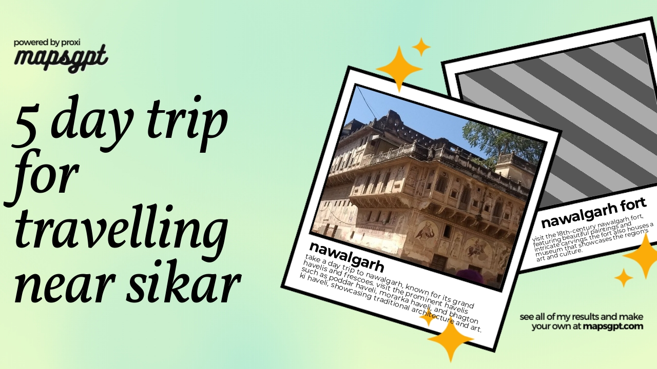 Community Map
5 day trip for Travelling near Sikar
14 stops · Sikar, Rajasthan, IndiaShared by the Proxi community
This map was made with Proxi
Have a main street, a market, or a story worth walking? Make your own map in a few minutes.