
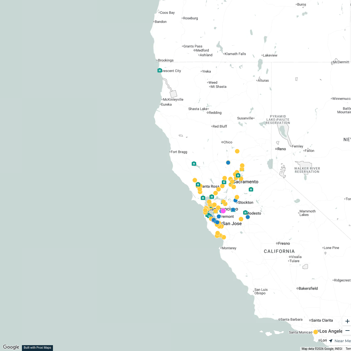
Map · 16 places
Placer County Transportation Tracker
A detailed map dedicated to monitoring and managing transportation routes, traffic conditions, and public transit options within Placer County, California. Ideal for commuters, planners, and residents looking to navigate the area effectively.
Made with ProxiUpdated Jul 2025
- Public Transit Stations 6
- Transportation Hubs 4
- Biking Routes 2
- Carpool Locations 2
- Traffic Conditions 2
Places on This Map
16 places · 5 groupsNearby Maps
Auburn Dental Services Map
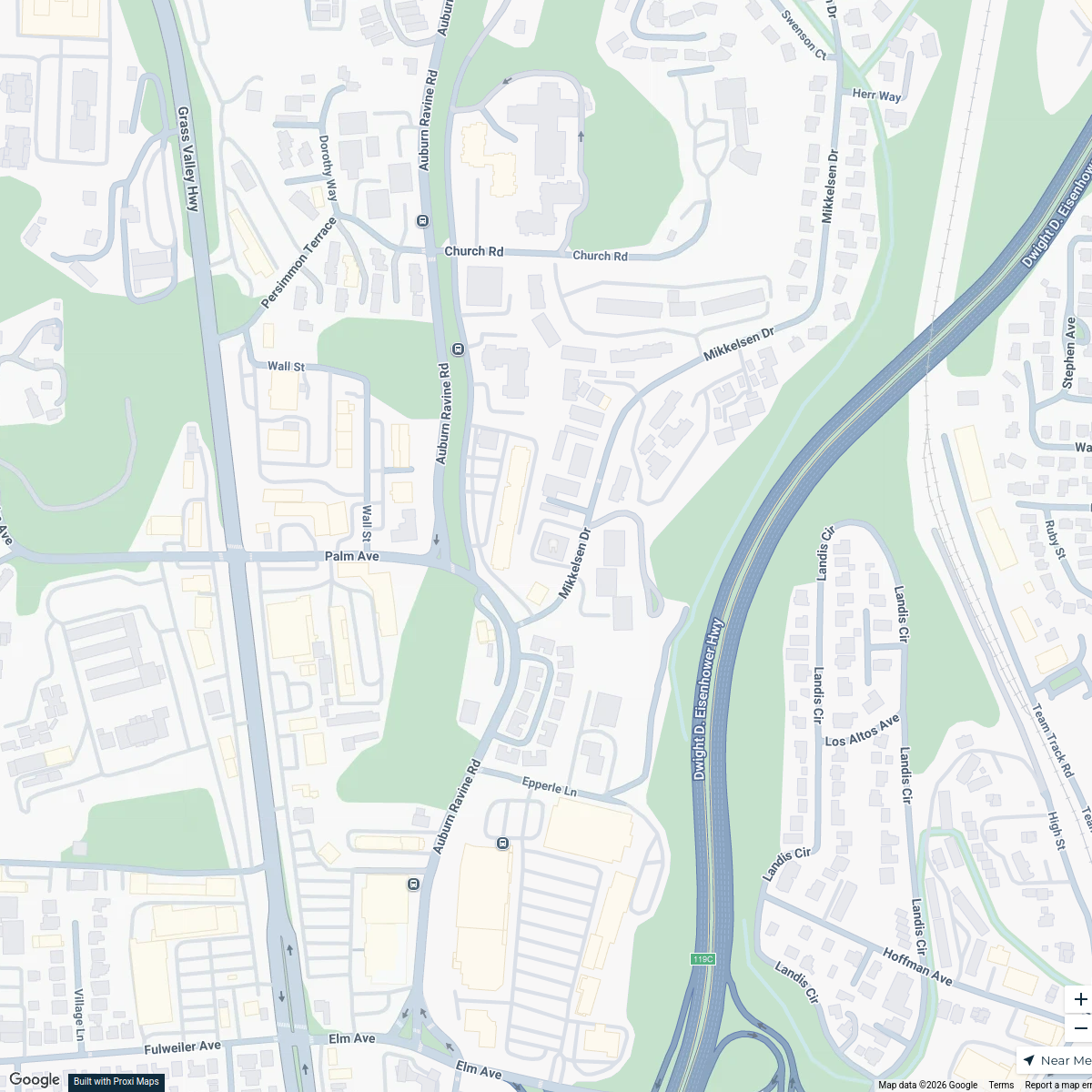
1 stop · 635 Mikkelsen Dr, Auburn, CA 95603, USA Pier 210 Dental Group

chill vibes in south lake tahoe
6 stops · South Lake Tahoe, CA 96150, USA Mel's Workspace
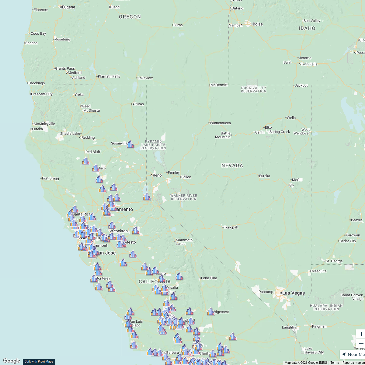
PLNU SOE Map
268 stops Jennifer Kritsch's Workspace
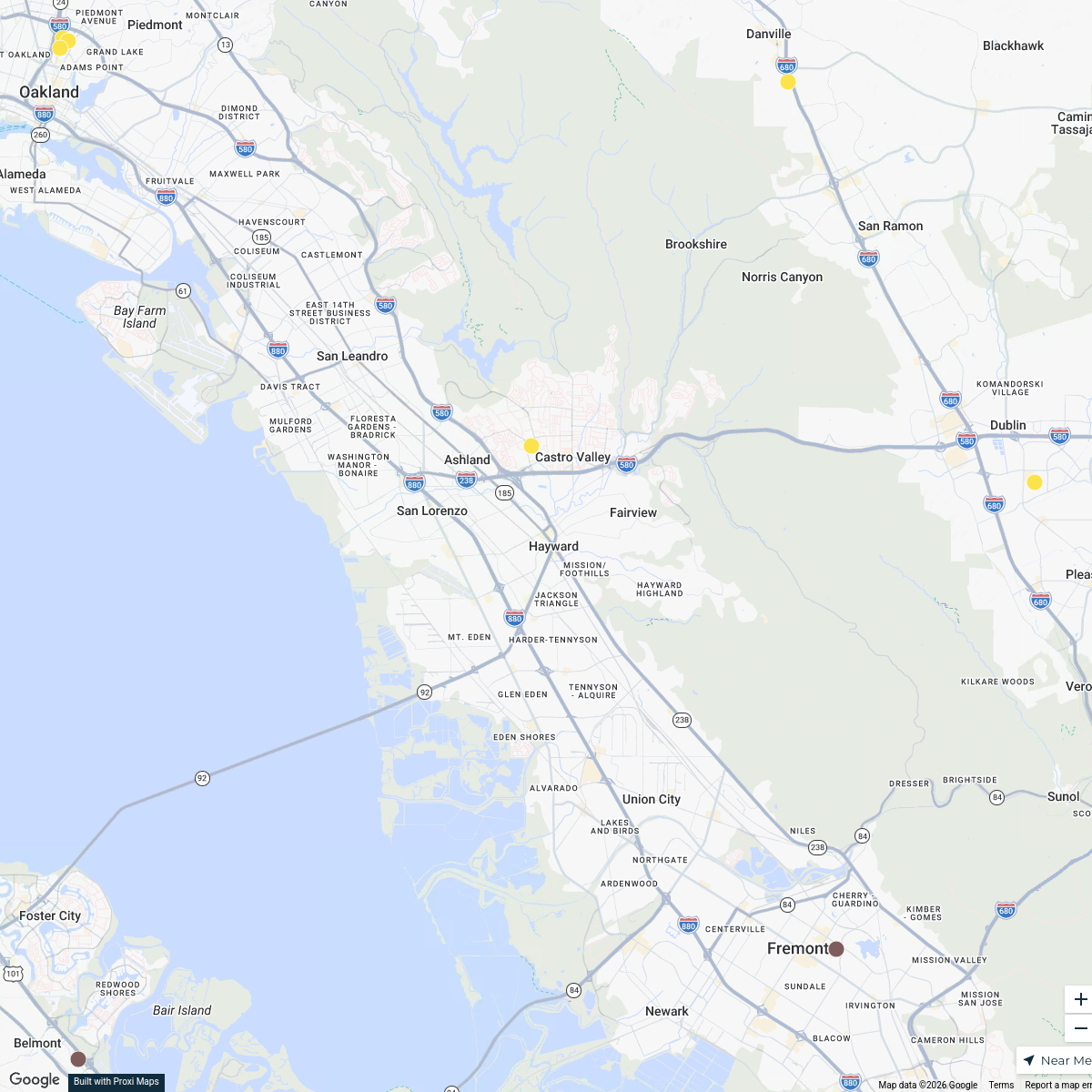
Patient Services Center Expansion
112 stops · Hayward, CA, USA liz.leroux's Workspace
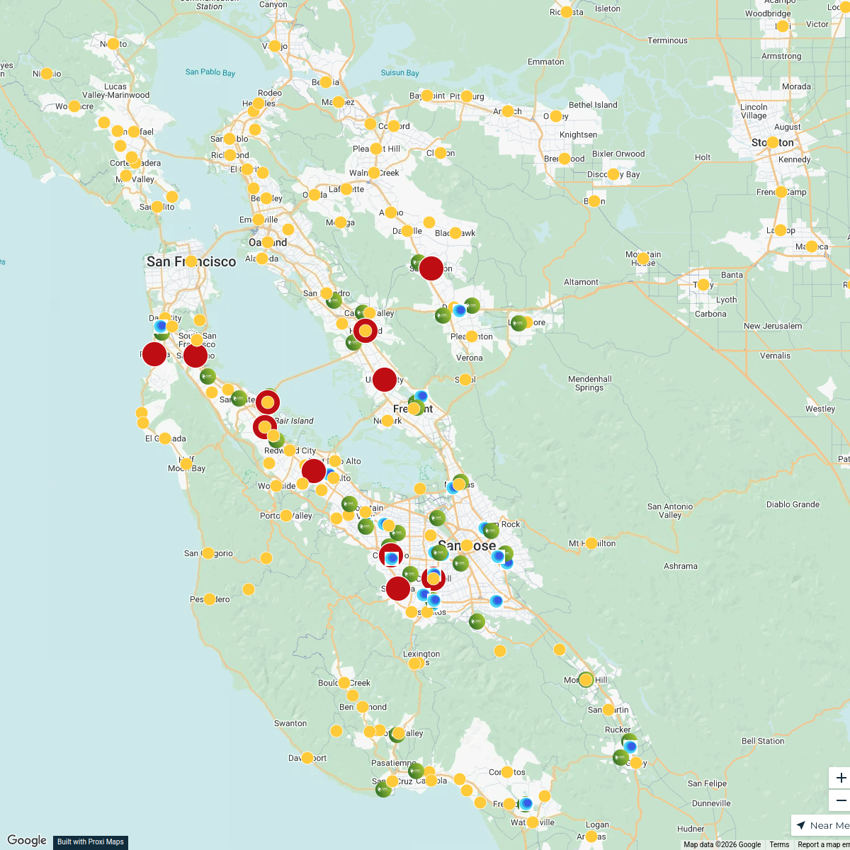
Bay Area Phlebotomy Heat Map
558 stopsliz.leroux's WorkspaceSutter Lab Map
116 stopsliz.leroux's Workspace
This map was made with Proxi
Have a main street, a market, or a story worth walking? Make your own map in a few minutes.