
Map · 15 places · Cheviot, OH
Historical Cheviot Map
Explore significant historical locations in Cheviot that shaped the community and reflect the events of the 1970s.
Made with ProxiUpdated Jul 2025
- Government Buildings 2
- Public Parks 2
- Art Galleries 1
- Commercial Areas 1
- Community Centers 1
- Educational Institutions 1
- Emergency Services 1
- Historical Societies 1
- Libraries 1
- Memorials 1
- Post Offices 1
- Religious Institutions 1
- Sports Facilities 1
Places on This Map
15 places · 13 groupsNearby Maps
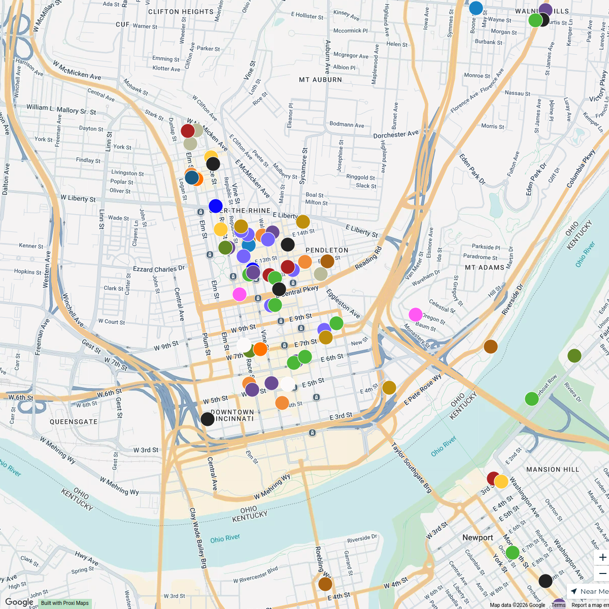
Cincy Foodies
240 stops nicholas.spangler's Workspace
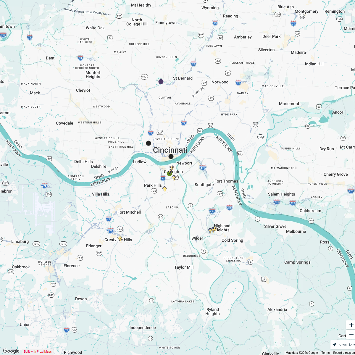
Faith Based Attractions in NKY and Cincinnati
17 stops Chelsey's Proxi Workspace
Indiana Farmers Markets
206 stops · Indianapolis, IN, USA Farm Flavor
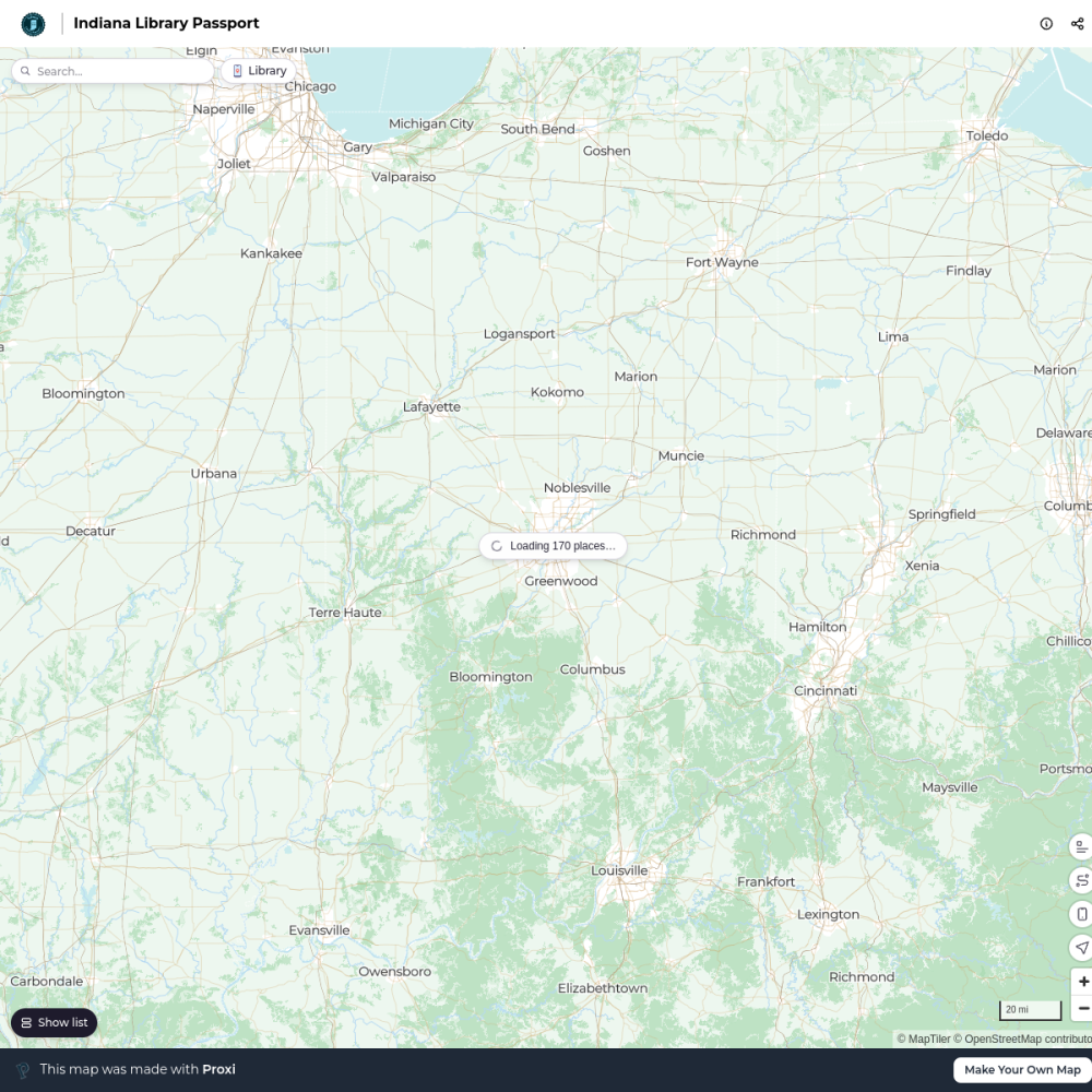
Indiana Library Passport
170 stops · Indianapolis, IN, USA jwekluk's Workspace
Indiana Local Meat Map
130 stops · Indianapolis, IN, USAFarm FlavorIndiana Christmas Tree Farms
68 stops · Indianapolis, IN, USAFarm Flavor
This map was made with Proxi
Have a main street, a market, or a story worth walking? Make your own map in a few minutes.