
Map · 7 places
OVP Libreng Sakay Map - Tacloban
A map highlighting the OVP Libreng Sakay program in Tacloban, featuring the key locations and routes that are part of this transportation initiative. It is designed to assist residents and visitors in navigating public transport options provided by this program.
Made with ProxiUpdated Jul 2025
- Community 1
- Office 1
Places on This Map
7 places · 2 groupsNearby Maps
Global Mental Health Community Map
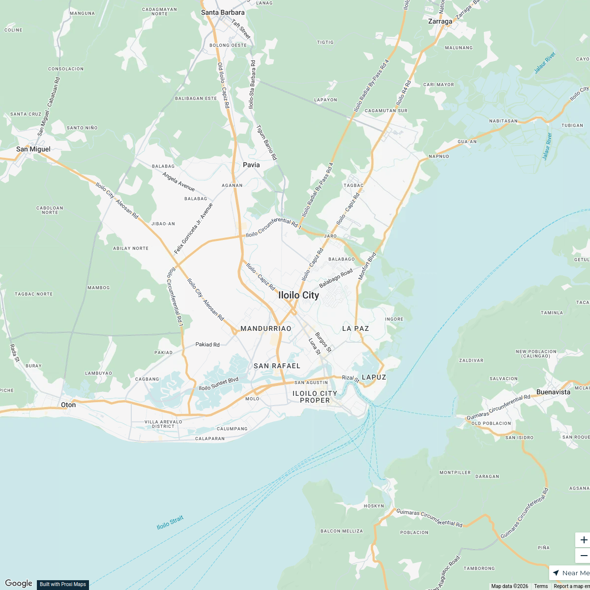
55 stops · Iloilo City, Iloilo, Philippines antonis's Workspace
Kopiko Product Sources in the Philippines
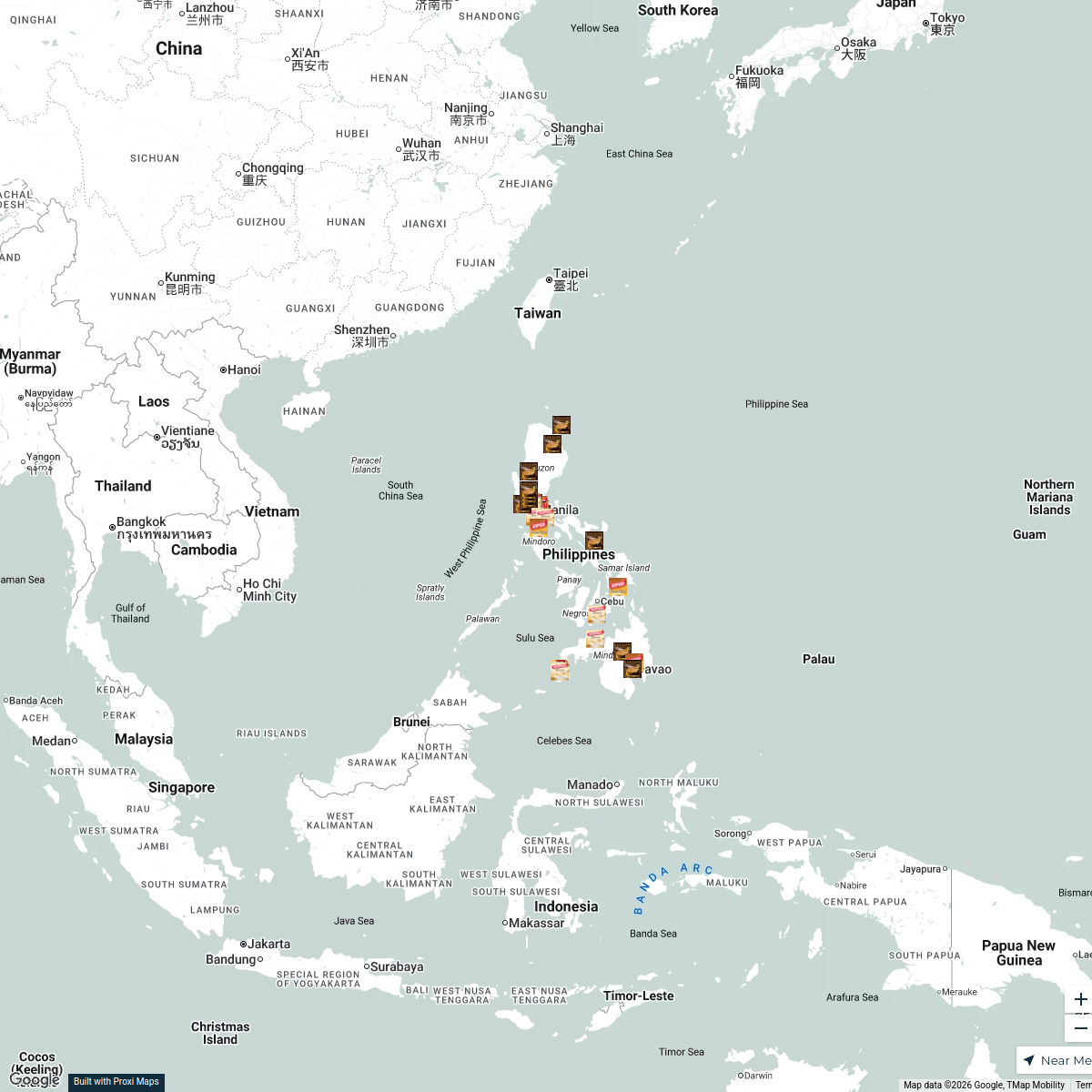
32 stops · Philippines Nica Aguirre's Workspace
Community Map
Tacloban Public Transportation Guide
6 stops · Tacloban, Tacloban City, Leyte, PhilippinesShared by the Proxi communityCommunity Map
Libreng Sakay Route in Tacloban
6 stops · Tacloban, Tacloban City, Leyte, PhilippinesShared by the Proxi communityCommunity Map
Barangay 63 Mangga Spot Map
8 stops · brgy 63 mangga purok 4, 6293+3G4, Tacloban City, Leyte, PhilippinesShared by the Proxi community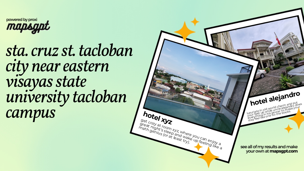 Community Map
sta. cruz st. tacloban city near eastern visayas state university tacloban campus
7 stops · 6XRW+3W9, Salazar St, Downtown, Tacloban City, Leyte, PhilippinesShared by the Proxi community
This map was made with Proxi
Have a main street, a market, or a story worth walking? Make your own map in a few minutes.