
Map · 7 places
Nautical Exploration of the United States
A vintage-style nautical map of the United States illustrated on aged parchment, featuring hand-drawn coastlines, sepia-toned shading, and intricate textures reminiscent of an 18th-century maritime chart. The map highlights a remarkable journey connecting key cities: Orlando, Florida; Pittsburgh, Pennsylvania; Kansas City, Missouri; Omaha, Nebraska; Denver, Colorado; and culminating in Los Angeles, California, marked by an ornate gold compass rose. Elements of classic nautical artistry such as ships, wave patterns, and a traditional compass rose enrich the ambiance of historical exploration and ambition.
Made with ProxiUpdated Jul 2025
- Cities 1
Places on This Map
7 places · 1 groupNearby Maps
★ Staff Pick
Third Friday Art Walk: Monthly Map
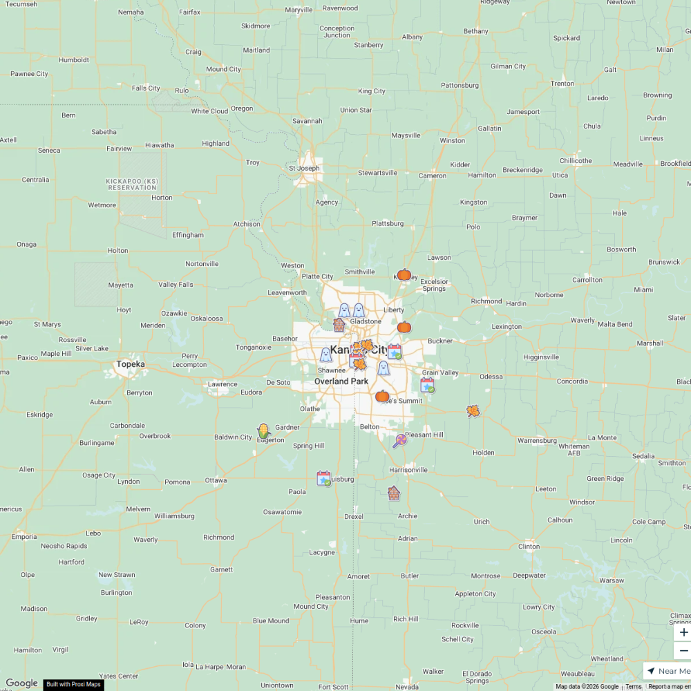
32 stops · North 6th Street & Tauromee Avenue, Kansas City, KS, USAShared by the Proxi communityFall + Halloween Map, Kansas City Area
25 stops · Kansas City, KS, USA Chelsey's Proxi Workspace
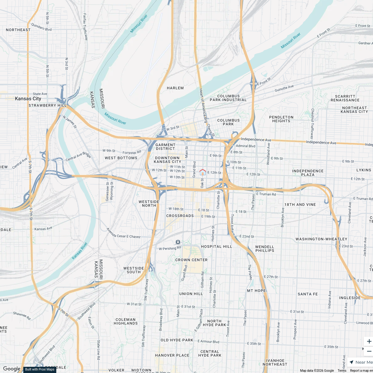
Home Inspector Kansas City, MO.
999 stops Steve Rodriguez's Workspace
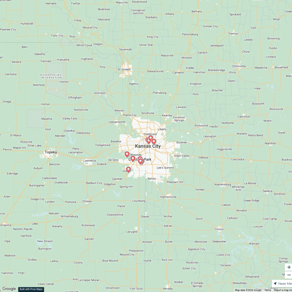
pickleball courts near kansas city
10 stops · Kansas City, MO, USA Mel's Workspace
Shawnee, KS
44 stops Livability
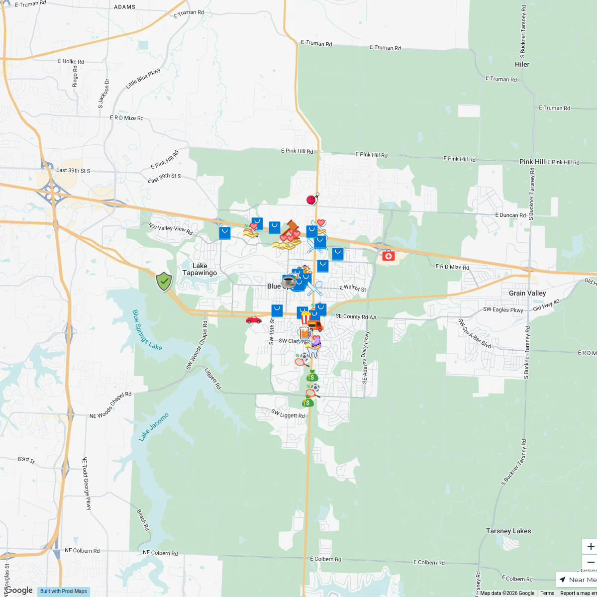
Buy Blue Springs Passport Challenge 2025
64 stops Blue Springs Chamber of Commerce

This map was made with Proxi
Have a main street, a market, or a story worth walking? Make your own map in a few minutes.