
Map · 14 places
Post-Climate Change: Elevated East Coast US
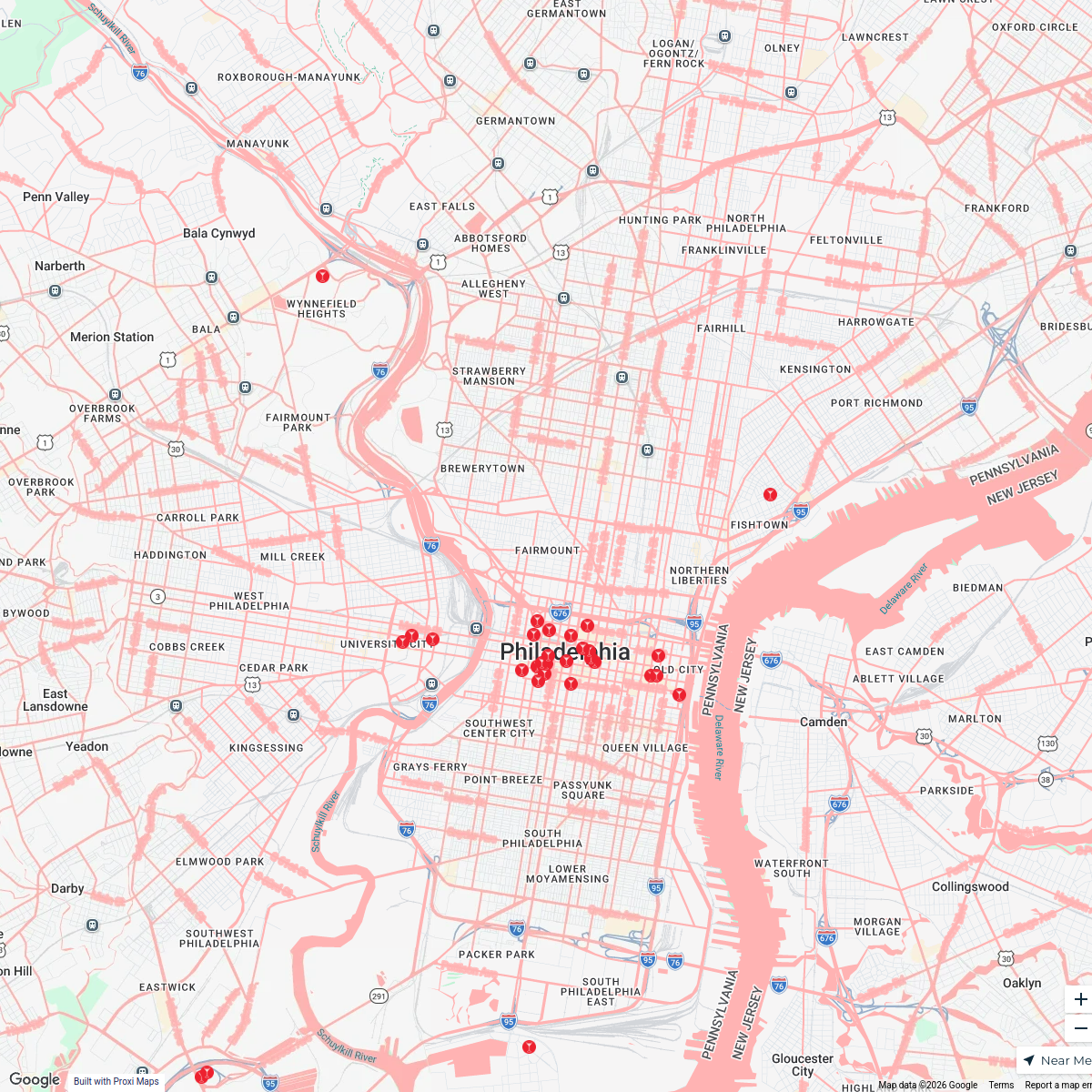
A detailed map showcasing the East Coast of the United States, specifically centered around Philadelphia, PA, with a visual representation of how the region would look with a 50-foot rise in sea levels. This map highlights the areas most affected by flooding, the changes in coastlines, and potential new shorelines resulting from climate change impacts.
Made with ProxiUpdated Jul 2025
- Resilient Infrastructure 6
- Urban Areas Underwater 3
- Climate Change Impacts 2
- Ecosystems and Habitats 2
- Emergency Planning Zones 1
Places on This Map
14 places · 5 groupsNearby Maps
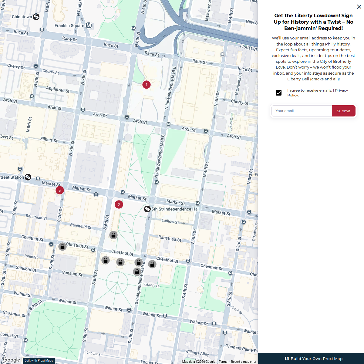
Philadelphia Walking Tour
11 stops Chelsey's Proxi Workspace
Spirit of 76
30 stops Visit Philadelphia Workspace
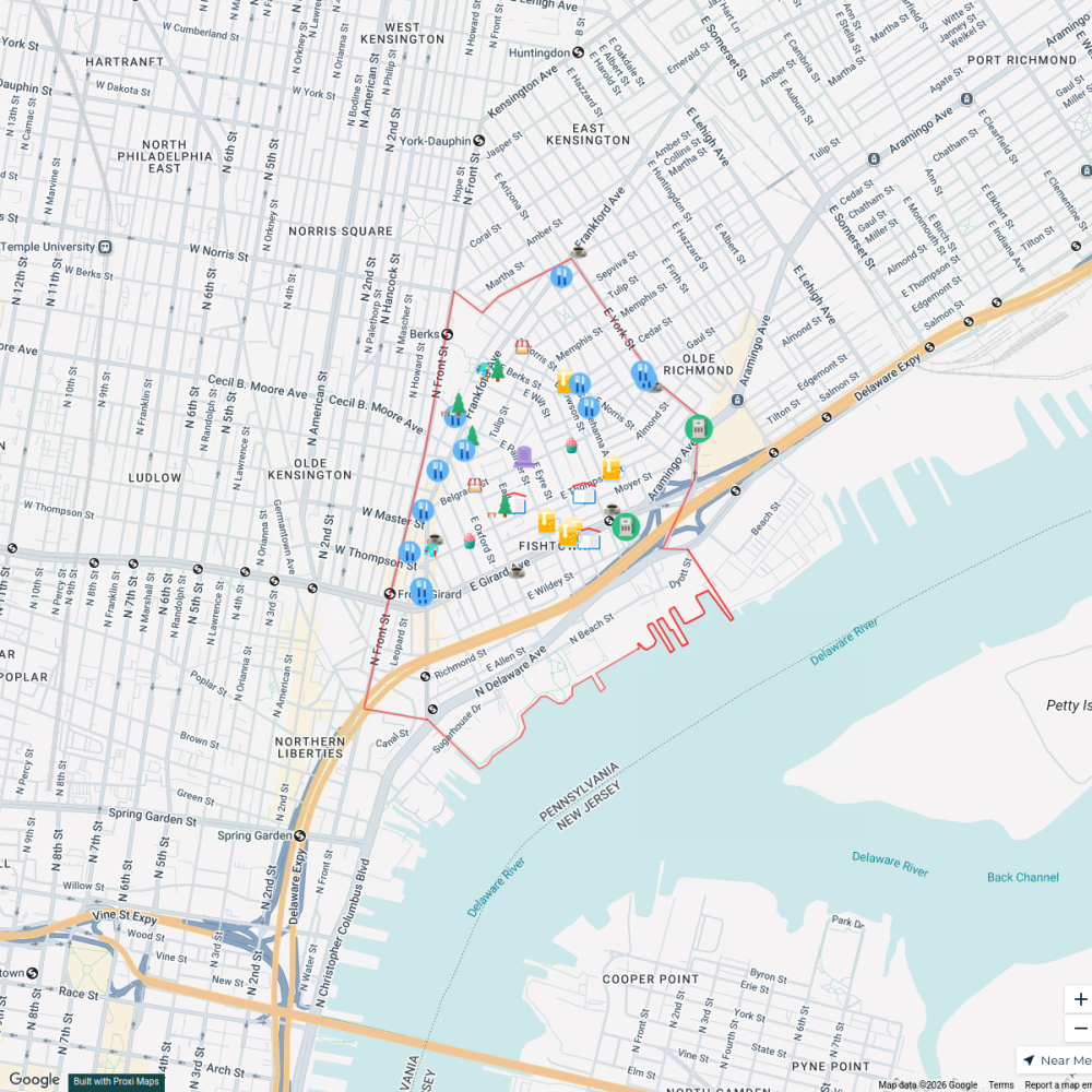
Fishtown Local Guide
42 stops · Fishtown, Philadelphia, PA, USA Florentyna Merciales's Workspace
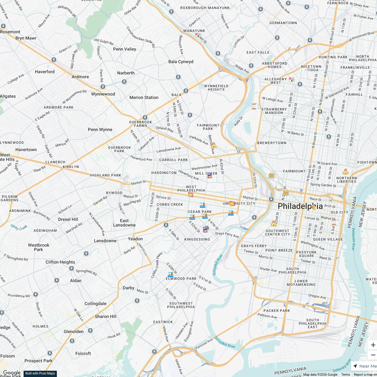
Cultural Institutions of West Philadelphia
20 stops · West Philadelphia, Philadelphia, PA, USAIsaac Sanchez's WorkspaceMt. Airy Porchfest
38 stops Sad Patrick's Workspace
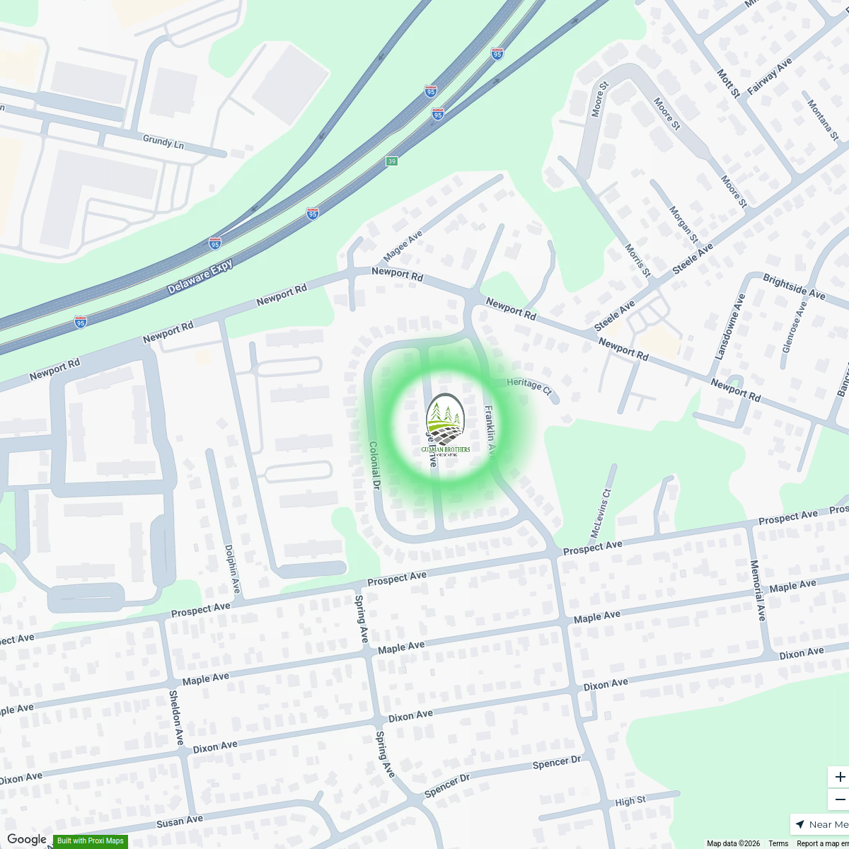
Guaman Brothers Landscaping
1 stopjairo guaman's Workspace

This map was made with Proxi
Have a main street, a market, or a story worth walking? Make your own map in a few minutes.