
Map · 20 places · Tampa, FL
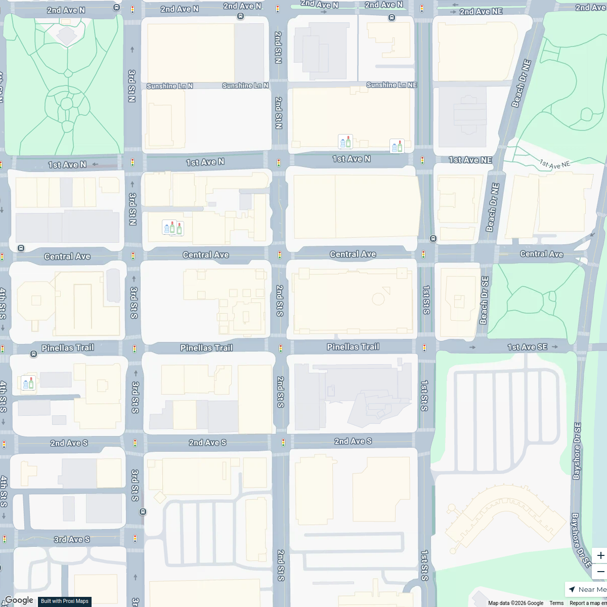
Tampa Bay Light Rail Map
A detailed map focusing on the Tampa Bay light rail system, showcasing routes, stations, and key points of interest in and around Tampa, FL.
Made with ProxiUpdated Jul 2025
- Local Amenities 4
- Public Transit 4
- Tourist Attractions 4
- Transportation 4
- Urban Planning 4
Places on This Map
20 places · 5 groupsNearby Maps
RSH Trick or Treat Map 2026
12 stops ryantchamblee's Workspace
St. Petersburg Bar Crawl
5 stopstortorellor's WorkspaceFlorida Fairs
41 stops Farm Flavor
Costco Florida Map
15 stops · Florida, USA logistics's Workspace
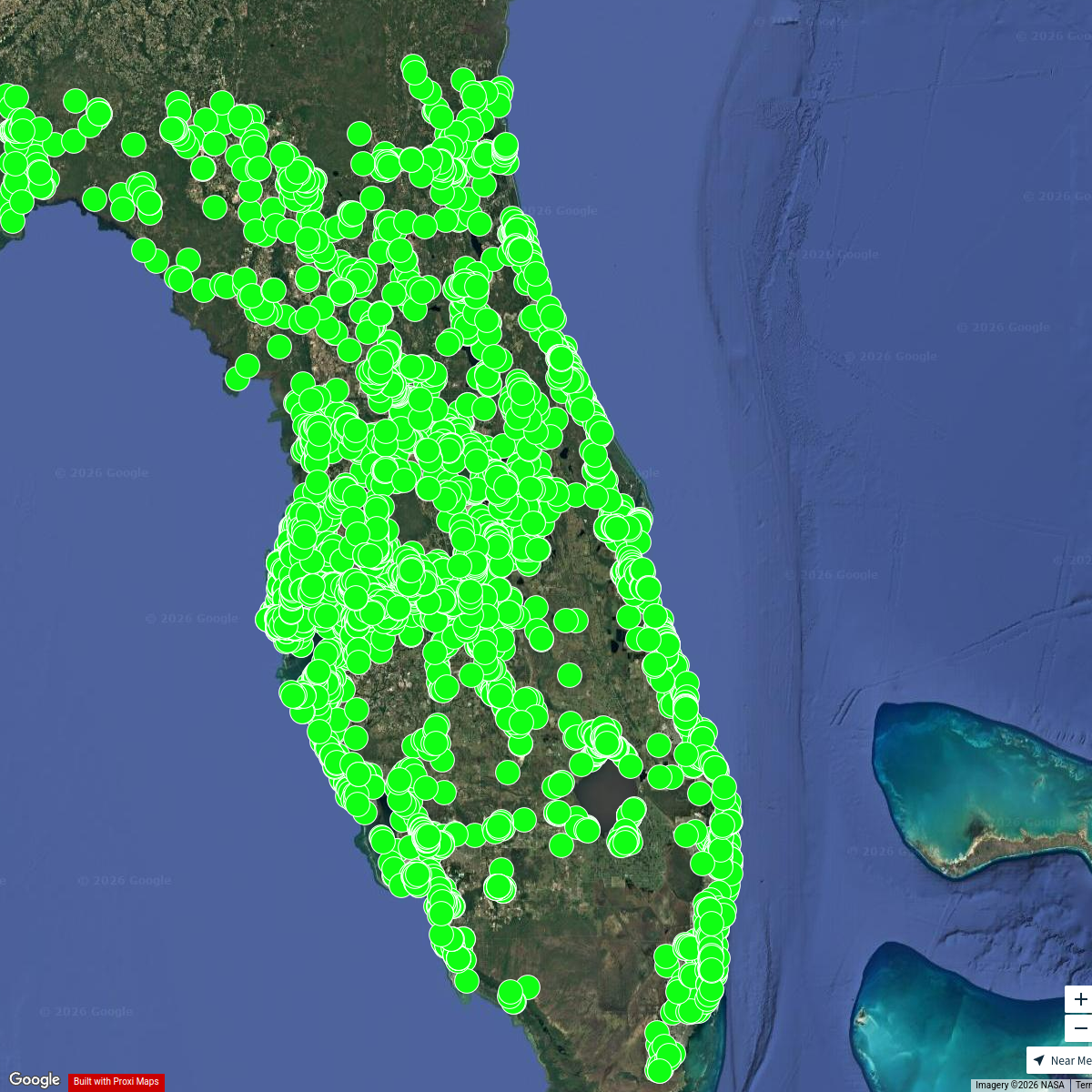
Florida MH Communities
5153 stops jason's Workspace
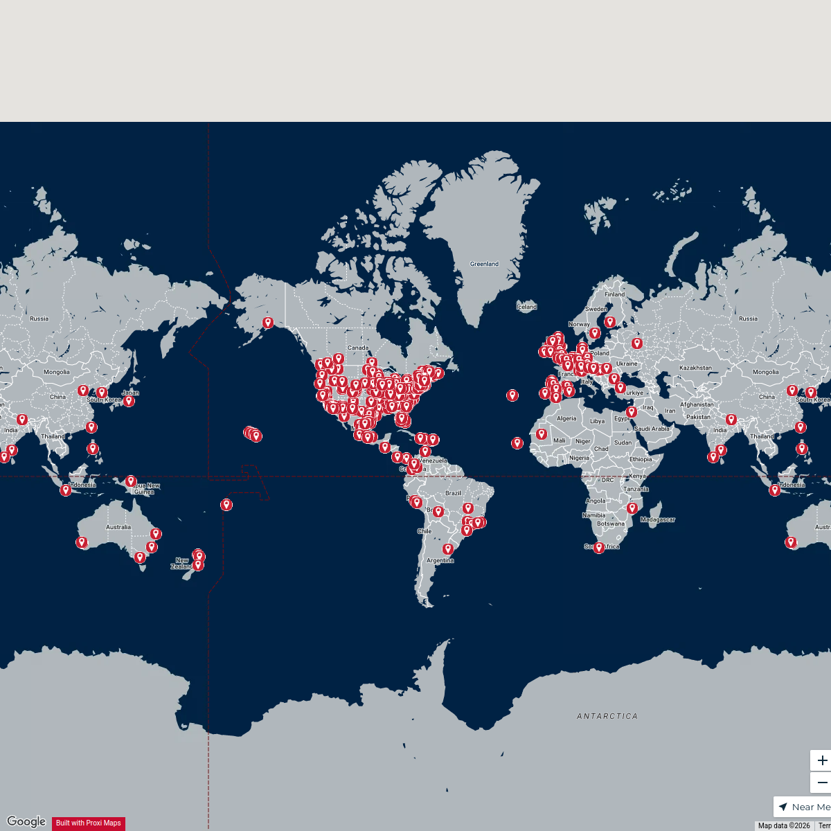
Patriots Fans Around the Globe
635 stops arielles's Workspace

This map was made with Proxi
Have a main street, a market, or a story worth walking? Make your own map in a few minutes.