
Map · 20 places
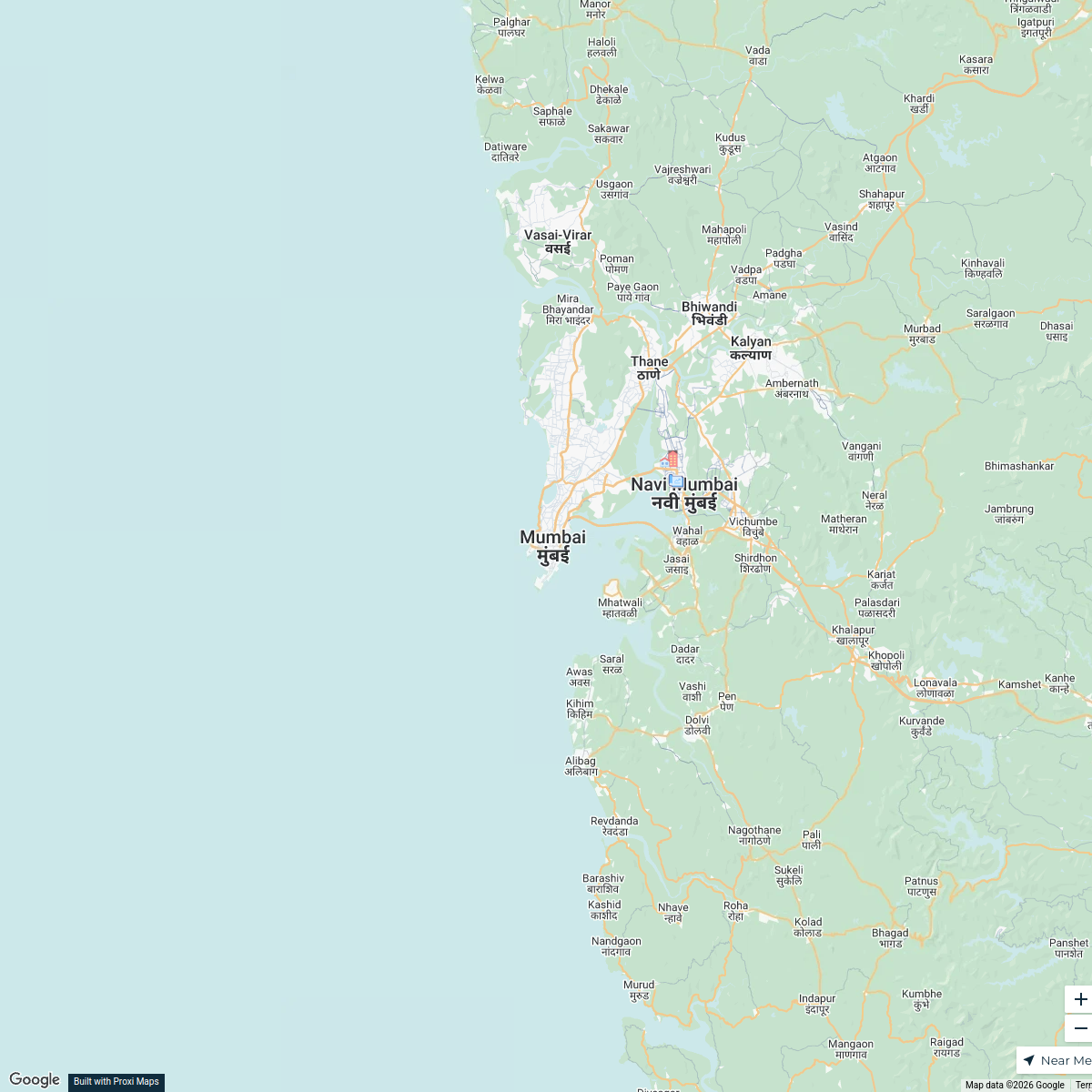
Transportation Hub of Navi Mumbai
A detailed map highlighting transportation facilities including highways and railways in and around Sector 9, Vashi, and Juhu Nagar in Navi Mumbai, Maharashtra. This map aims to provide a clear overview of accessible routes and public transport options available in this busy area.
Made with ProxiUpdated Jul 2025
- Public Transport Stops 20
Places on This Map
20 places · 1 groupNearby Maps
Real Estate Developments in Mumbai
2 stops · Mumbai, Maharashtra, India Saurav Mehta's Workspace
Prehistoric Sites in India
16 stops · India B_2_B Artistry's Workspace
Pin Your Heart
425 stops · Europe Voluson Performance

Beer Passport Map
357 stops Lekker Passport
Sydney Explorer
127 stops · Sydney NSW, Australiabhidetejas03's WorkspaceFind our beer
424 stops · Penticton, BC, Canadascott's Workspace


This map was made with Proxi
Have a main street, a market, or a story worth walking? Make your own map in a few minutes.