
Map · 5 places
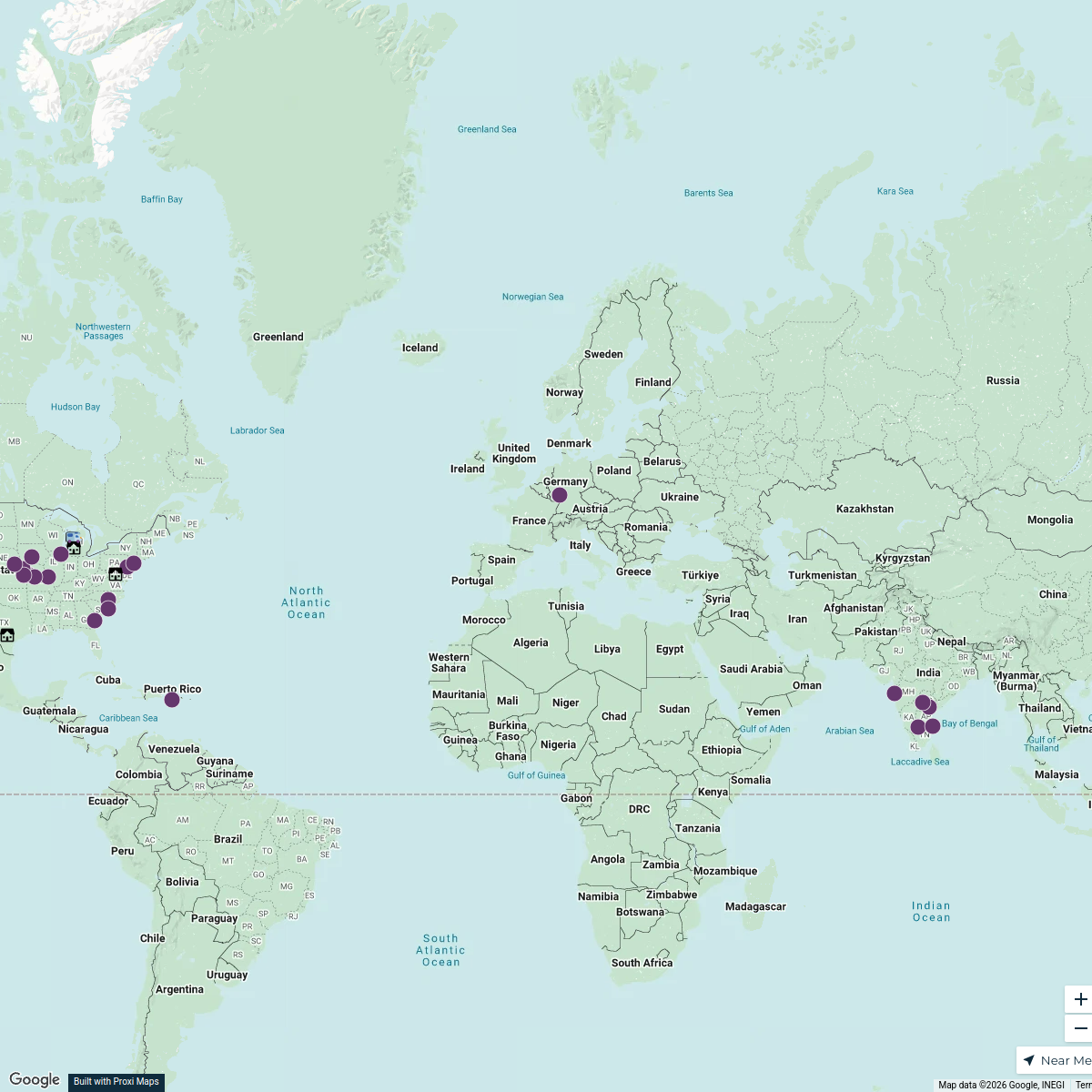
Europe Historical Map 1904
A detailed historical map of Europe from the year 1904, showcasing political boundaries, major cities, and significant geographical features of that period. This map provides insight into the historical context of Europe at the dawn of the 20th century, just before major geopolitical changes.
Made with ProxiUpdated Jul 2025
- Political Boundaries 5
Places on This Map
5 places · 1 groupNearby Maps
D&A Places
392 stops tricia.grasher's Workspace
Community Map
Historical Sites of World War II in Europe
15 stops · EuropeShared by the Proxi communityCommunity Map
Mapa de relieve de Europa
15 stops · EuropeShared by the Proxi communityCommunity Map
European Historical and Cultural Sites
17 stops · EuropeShared by the Proxi communityCommunity Map
Ancient European Cities
12 stops · EuropeShared by the Proxi communityCommunity Map
Historical Sites of Ancient Greece
15 stops · EuropeShared by the Proxi community
This map was made with Proxi
Have a main street, a market, or a story worth walking? Make your own map in a few minutes.