
Map · 22 places
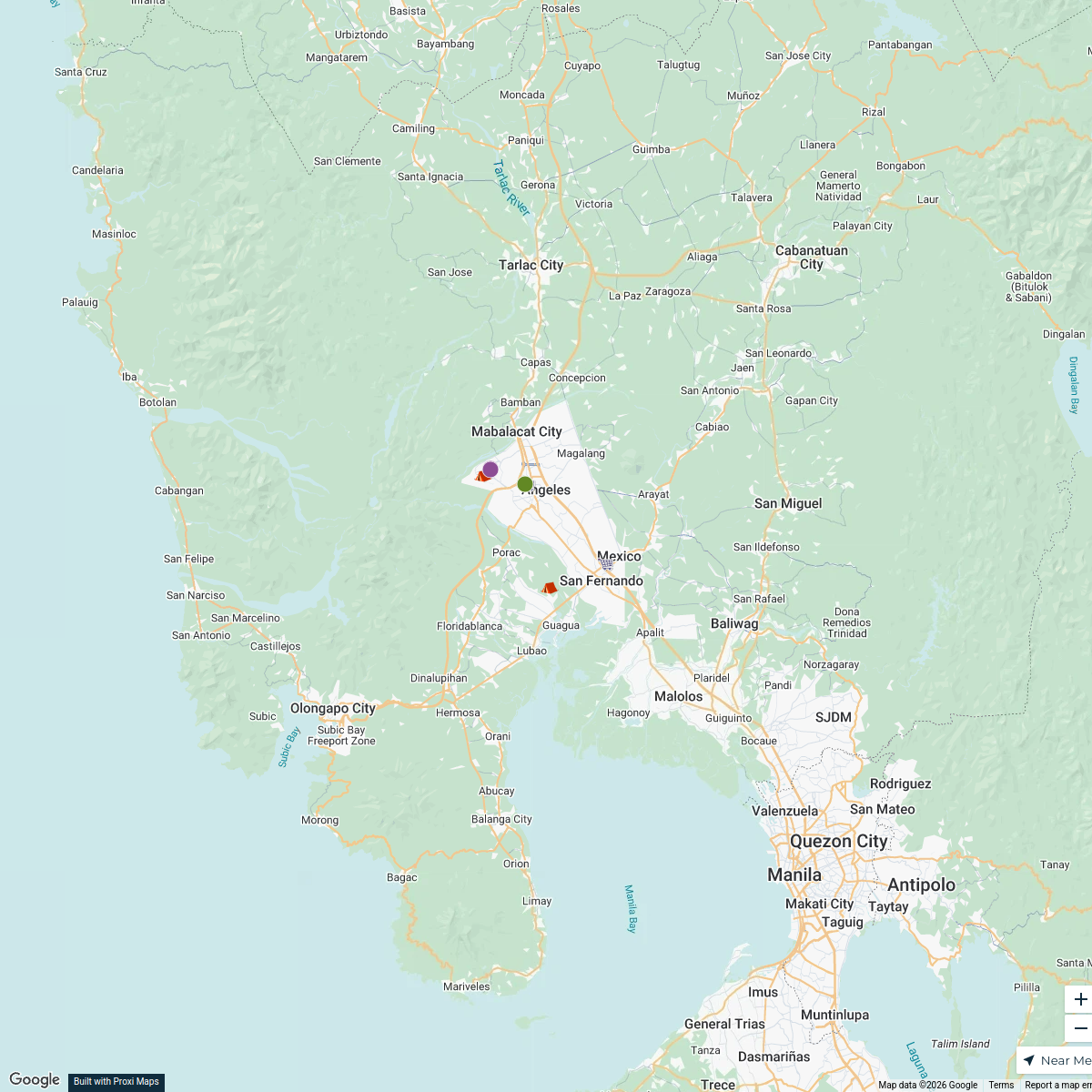
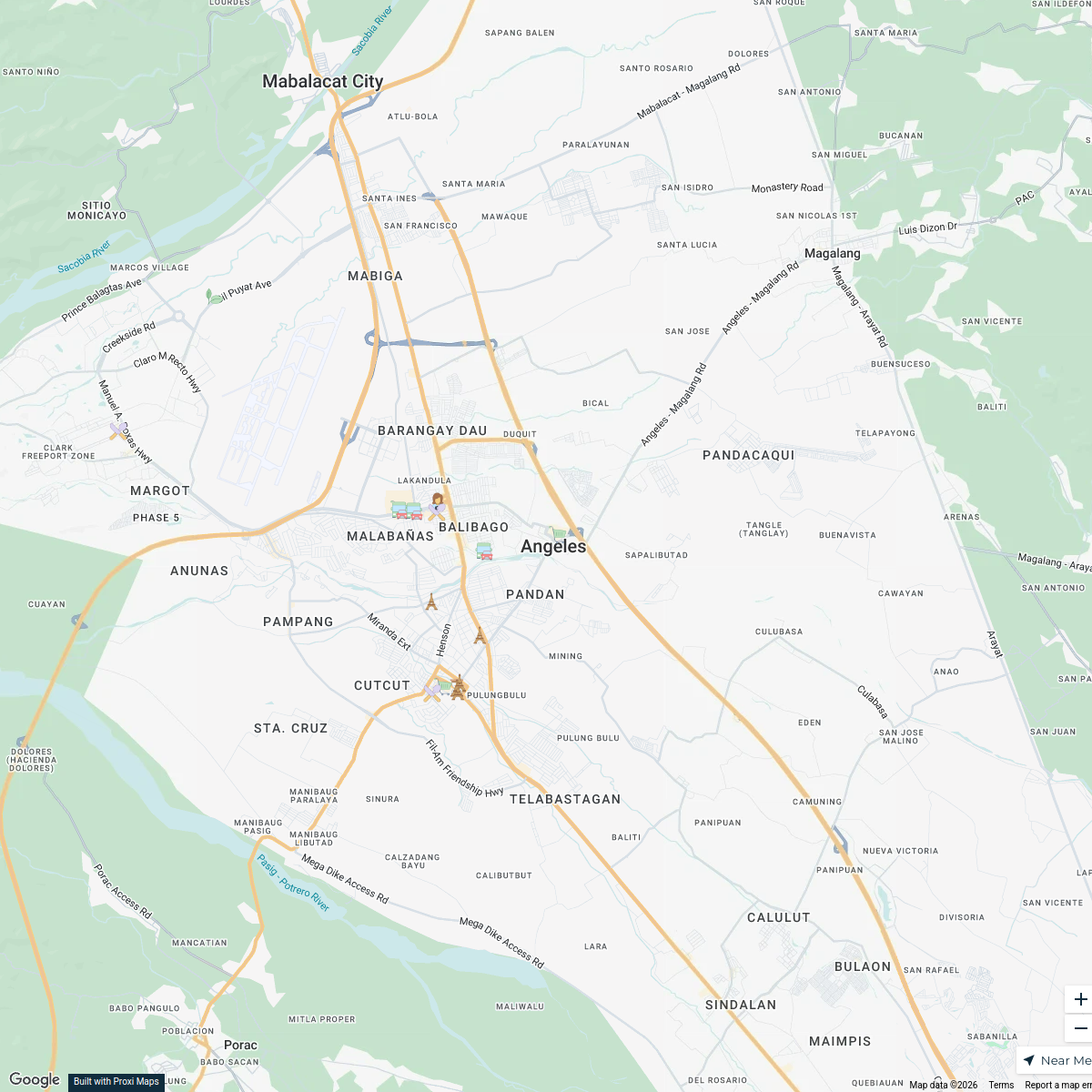
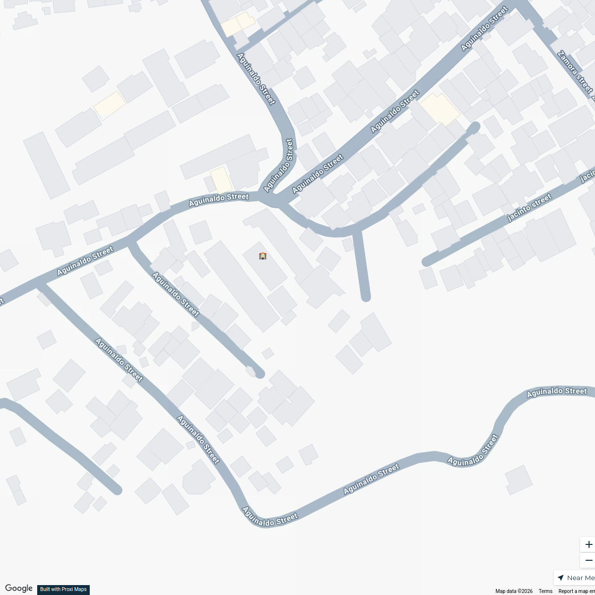
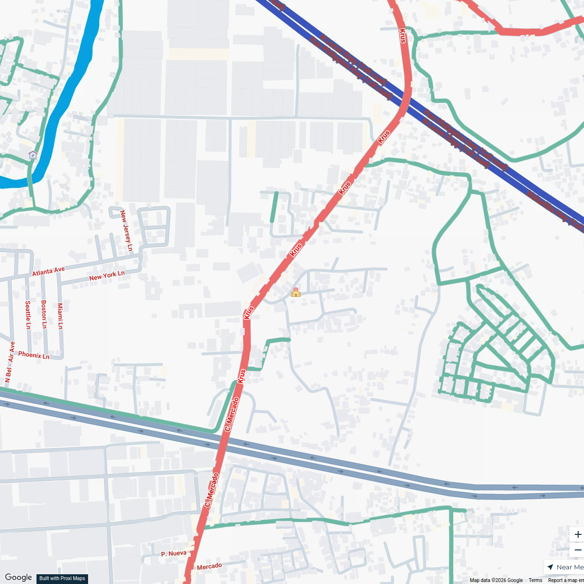
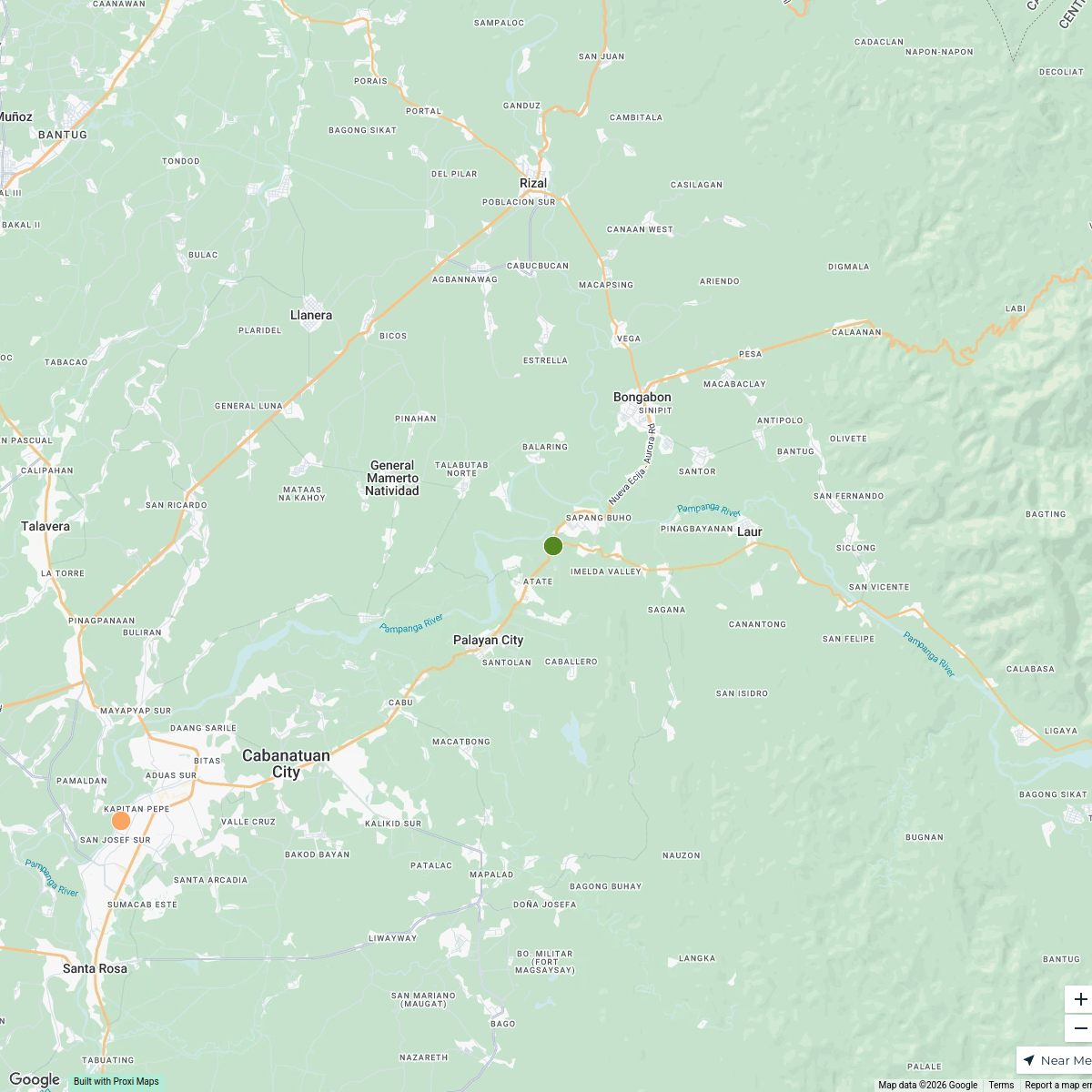
City of San Fernando Division Map
A detailed map highlighting the divisions within the City of San Fernando, Pampanga, Philippines, showcasing neighborhoods, key landmarks, and civic information.
Made with ProxiUpdated Jul 2025
- Commercial Areas 4
- Landmarks 4
- Public Services 4
- Neighborhoods 3
- Parks and Recreation 3
- Cultural Sites 2
- Transport Links 1
Places on This Map
22 places · 7 groupsNearby Maps
Exploring Clark, Pampanga
9 stops · Pampanga, Philippines Lara Vizcarra-Bacani's Workspace
Central Luzon Exploration
21 stops · Angeles, Pampanga, Philippines Gilbert Pajimna's Workspace
Montclair Destination Estates Overview
2 stops · Montclair Destination Estates, 5G2C+65, Angeles, Pampanga, PhilippinesLuzy Artillero's WorkspaceMandaluyong Points of Interest
1 stopABDON AGUILAR's WorkspaceTabe Barangay Community Map
26 stops · Tabe Barangay Hall, RVPP+XM9, Guiguinto, Bulacan, PhilippinesAngela Louise Bernabe's WorkspaceExplore General Tinio
15 stops · Nueva Ecija, PhilippinesGilbert Pajimna's Workspace
This map was made with Proxi
Have a main street, a market, or a story worth walking? Make your own map in a few minutes.