
Map · 21 places
Land Use Map of Ayigya, Kumasi
This map showcases the various land uses in Ayigya, a suburb within the bustling city of Accra, Ghana. It highlights residential, commercial, industrial, and recreational areas, providing insights into the spatial distribution and zoning of the region.
Made with ProxiUpdated Jul 2025
- Commercial Zones 3
- Educational Institutions 3
- Healthcare Facilities 3
- Industrial Areas 3
- Parks and Recreation 3
- Residential Areas 3
- Transportation Routes 3
Places on This Map
21 places · 7 groupsNearby Maps
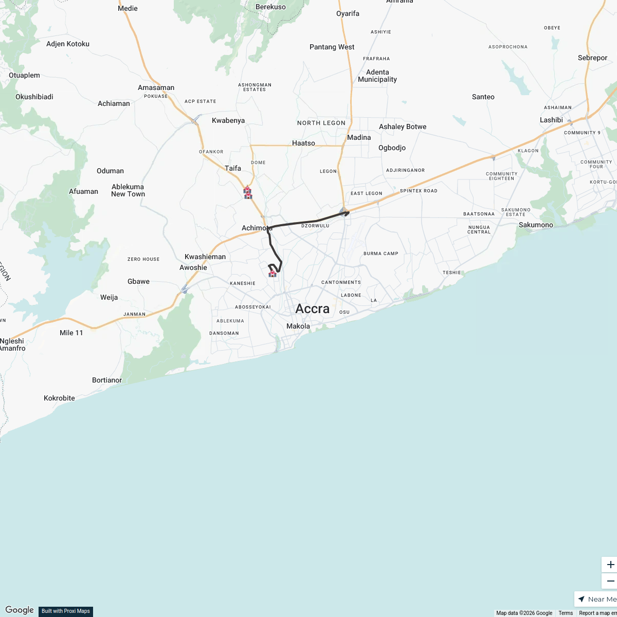
Wedding Venues in Accra
3 stops · Accra, Ghana Eugene Danquah's Workspace
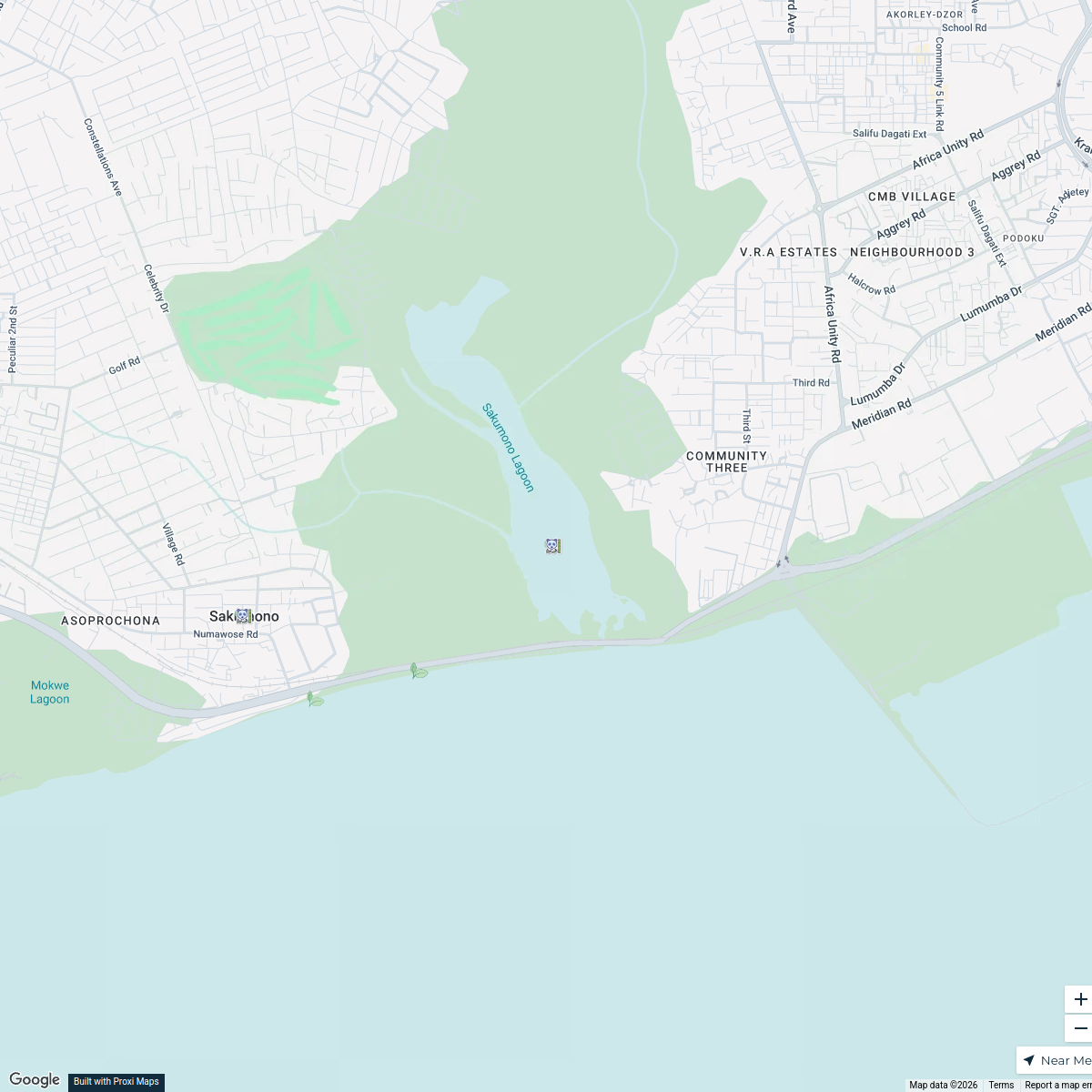
Sakumono Lagoon Map
14 stops · Sakumono Lagoon, Ghana 01230619b's Workspace
Cultural Origins in Boston
41 stopshsum's Workspace
Beer Passport Map
357 stops Lekker Passport
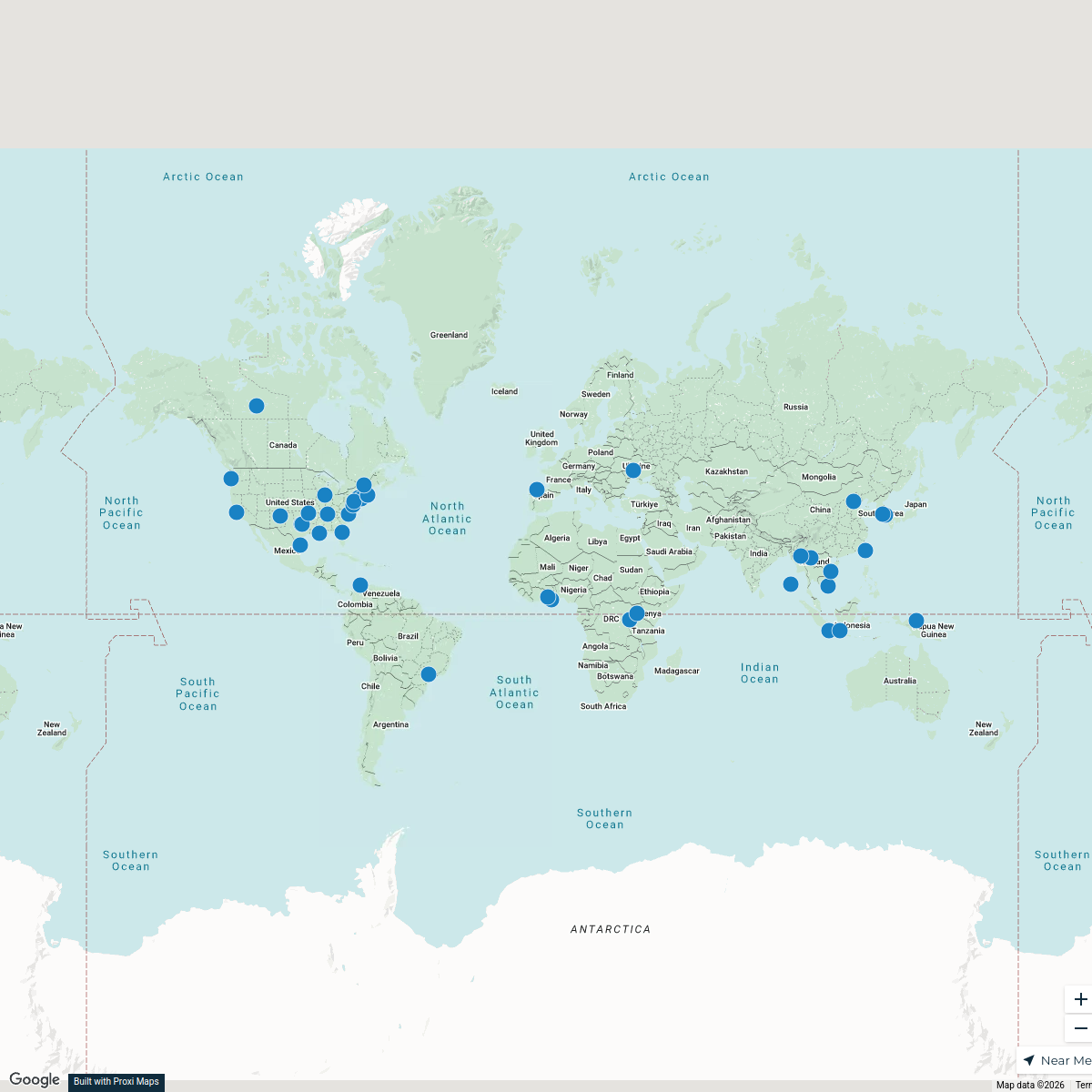
Where do you call home?
49 stops SHRM Global Lounge Workspace
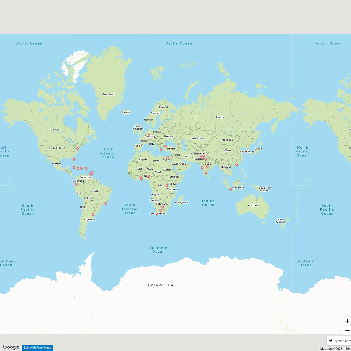
Chattanooga Sister Cities
8 stops NOOGAtoday

This map was made with Proxi
Have a main street, a market, or a story worth walking? Make your own map in a few minutes.