
Map · 31 places
Hyderabad: Site Analysis
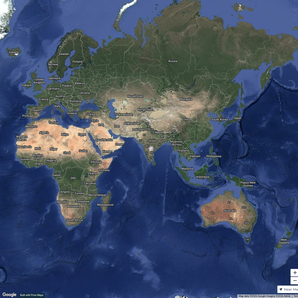
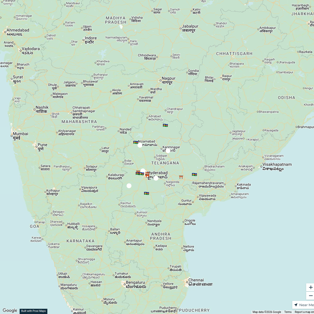
A comprehensive map analyzing key sites across Hyderabad, Telangana, highlighting significant urban areas, infrastructure, and points of interest for urban planning and development.
Made with ProxiUpdated Jul 2025
- Residential Zones 12
- Parks and Recreation 4
- Commercial Areas 3
- Cultural Landmarks 3
- Education Institutions 3
- Historical Sites 3
- Public Transport 3
Places on This Map
31 places · 7 groupsNearby Maps
National Law University - Hyderabad Focus Map
10 stops · Hyderabad, Telangana, India Maitreyee Kharat's Workspace
Telangana Districts Overview
16 stopsMumtaz Parveen's WorkspaceWorld Travel Map
30 stopsrohit.voothaluru's WorkspaceCommunity Map
Hyderabad's Interior Design Wonders
15 stops · Hyderabad, Telangana, IndiaShared by the Proxi communityCommunity Map
Hyderabad Water Supply Network
3 stops · Hyderabad, Telangana, IndiaShared by the Proxi communityCommunity Map
Nearby Places to Hyderabad
1 stop · Hyderabad, Telangana, IndiaShared by the Proxi community
This map was made with Proxi
Have a main street, a market, or a story worth walking? Make your own map in a few minutes.