
Map · 14 places
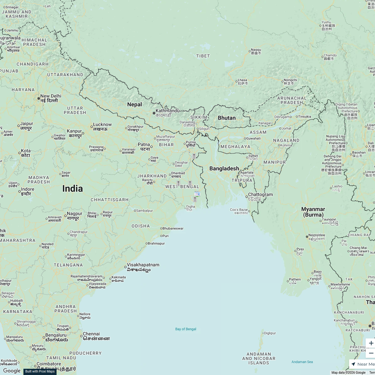
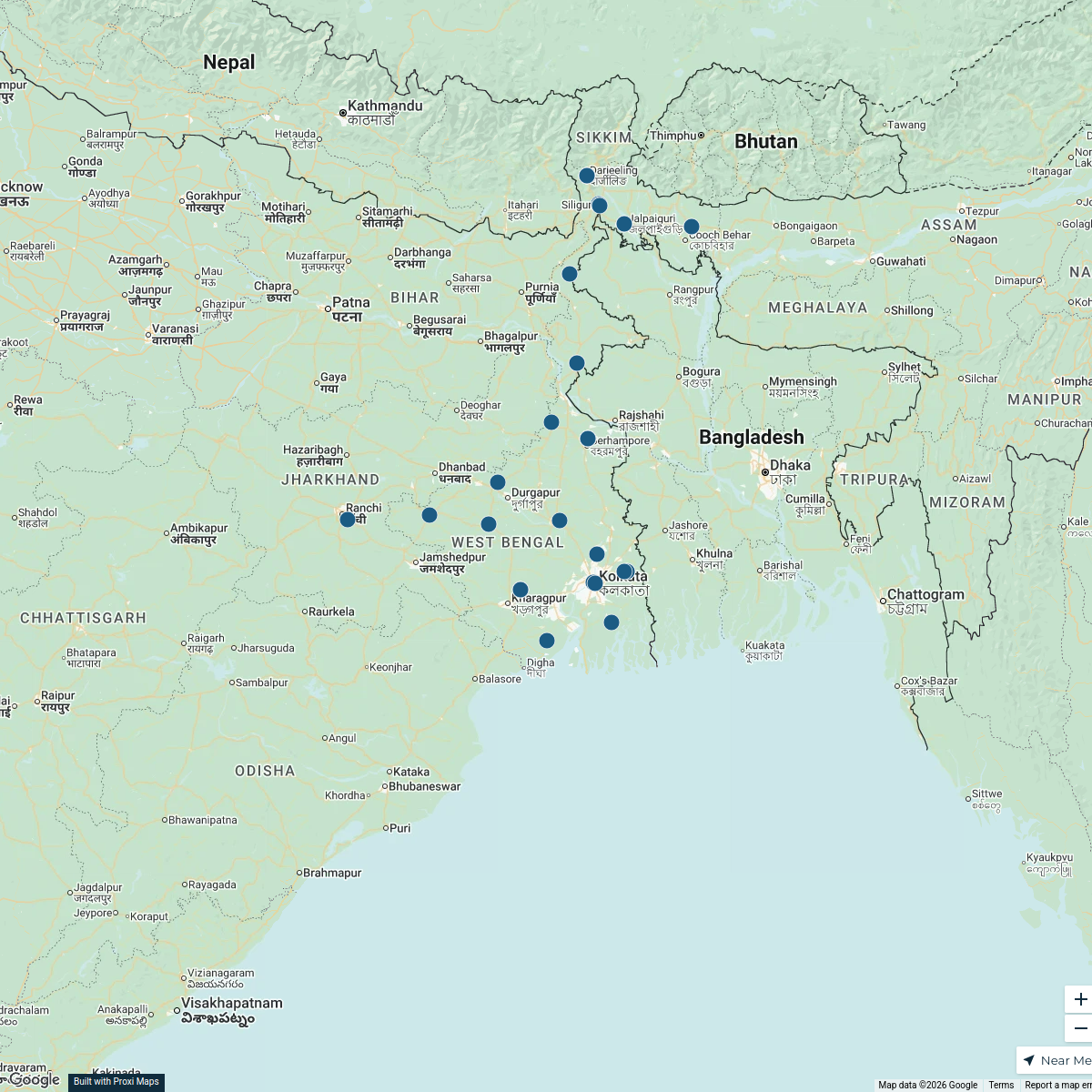
Mallabhum Kingdom Territorial Extent
Map showcasing the historical territorial extent of the Mallabhum kingdom centered around Bishnupur.
Made with ProxiUpdated Jun 2025
- District 6
- Region 4
- Location 3
- Capital 1
Places on This Map
14 places · 4 groupsNearby Maps
Chandrakona Security Briefing
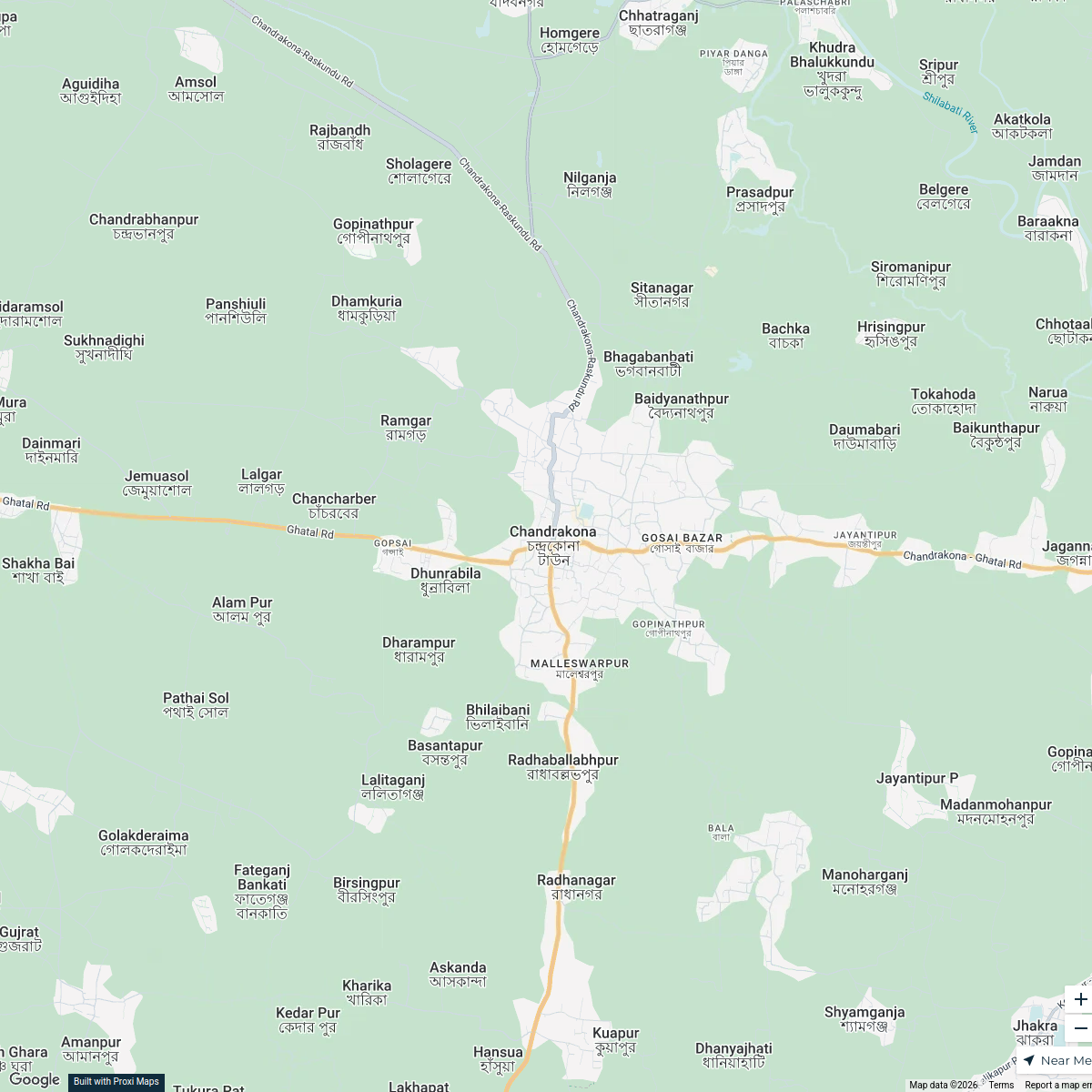
13 stops · Chandrakona, West Bengal 721201, India Nil
Thalassaemia Control Units in West Bengal
9 stops · West Bengal, India Samik Samaddar's Workspace
West Bengal Dealers
48 stops · West Bengal, IndiaRatnagiri Impex's WorkspaceCommunity Map
Bishnupur and Surroundings
16 stops · Bishnupur, West Bengal 722122, IndiaShared by the Proxi communityCommunity Map
Bishnupur and Surroundings
16 stops · Bishnupur, West Bengal 722122, IndiaShared by the Proxi communityCommunity Map
Education Institutions in Bishnupur
1 stop · Bishnupur, West Bengal 722122, IndiaShared by the Proxi community
This map was made with Proxi
Have a main street, a market, or a story worth walking? Make your own map in a few minutes.