
Map · 2 places
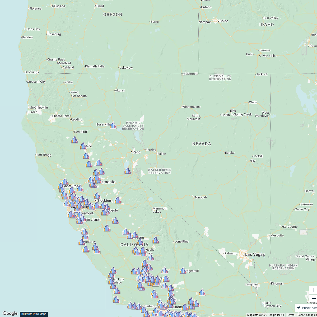
Susanville Transportation Project Map
A detailed map focusing on the transportation infrastructure and projects in Susanville, CA, highlighting roads, public transport routes, and proposed developments.
Made by yvonne.mazzotta's WorkspaceUpdated Jun 2025
- Bike Paths 2
Places on This Map
2 places · 1 groupNearby Maps
PLNU SOE Map
268 stops Jennifer Kritsch's Workspace
Material Testing & Inspection Services Map
11 stops · California, USA Randy Monette's Workspace
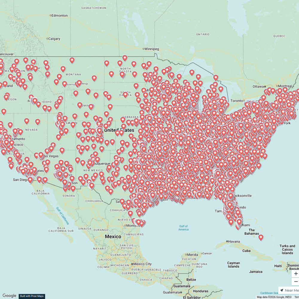
Free Places To Park Your RV
5499 stops · USAAndrew Swinney's Workspace Community Map
95983 near Antelope Lake
7 stops · Antelope Dam, California, USAShared by the Proxi communityCommunity Map
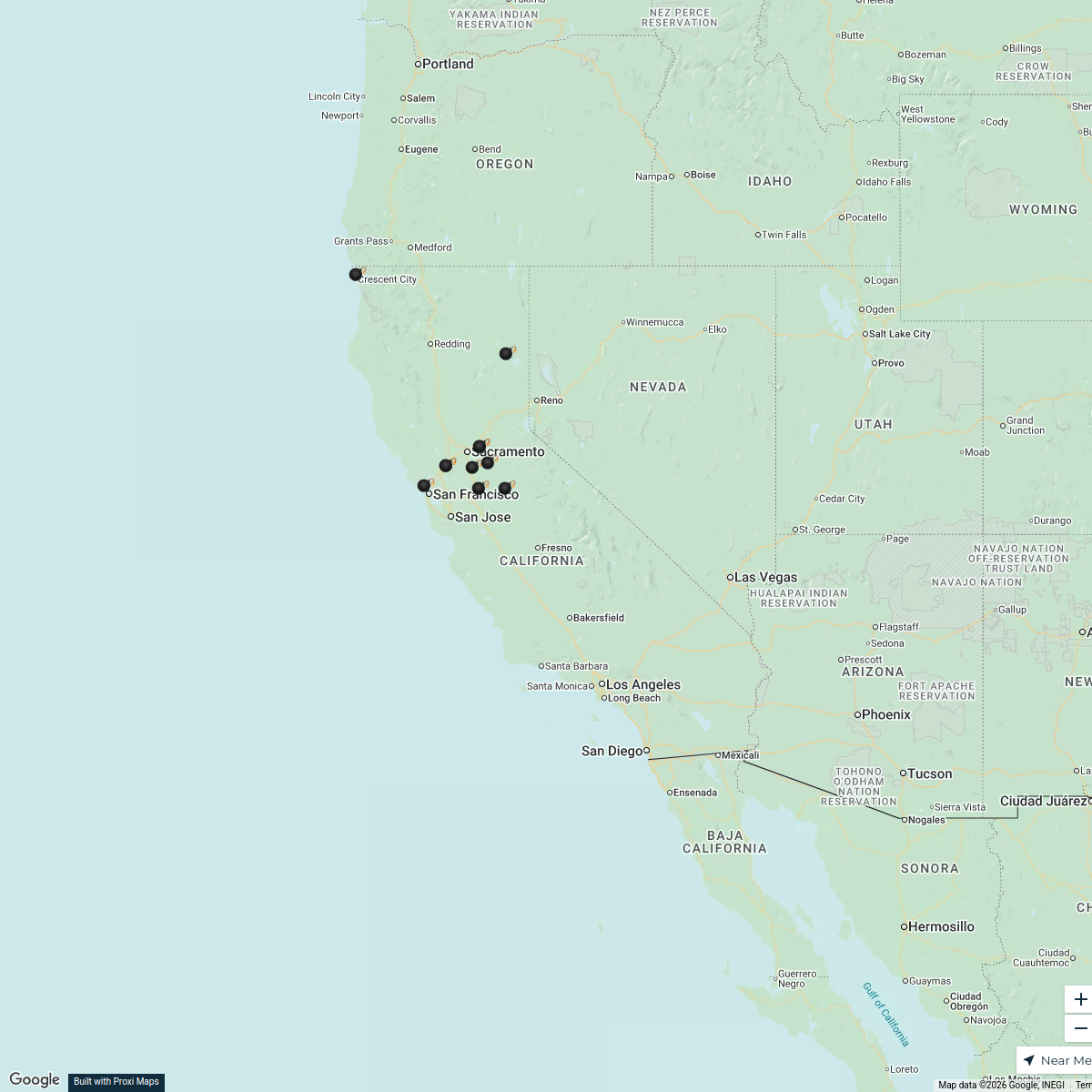
California Heat Wave Map - May 30, 2026
20 stops · California, USAShared by the Proxi community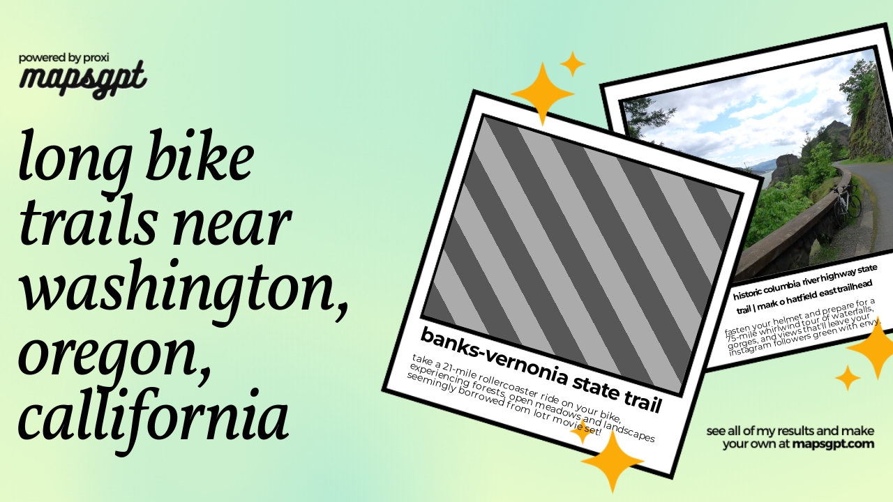 Community Map
long bike trails near washington, oregon, callifornia
6 stops · California, USAShared by the Proxi community
This map was made with Proxi
Have a main street, a market, or a story worth walking? Make your own map in a few minutes.